Ohio’s Wolf Creek Trail
Trail of the Month: May 2024
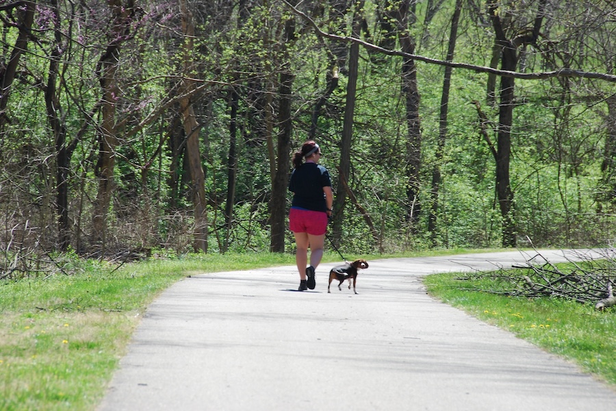
Dayton’s Wolf Creek Trail is part of the nation’s largest paved trail network, spanning 375 miles throughout southwest Ohio’s Miami Valley. Totaling just over 16 miles, the rail-trail runs northwest from the city’s downtown to nearly the Indiana border. Named for the numerous wolves spotted around the creek in pioneer days, Wolf Creek is still home to foraging herons and industrious beavers.
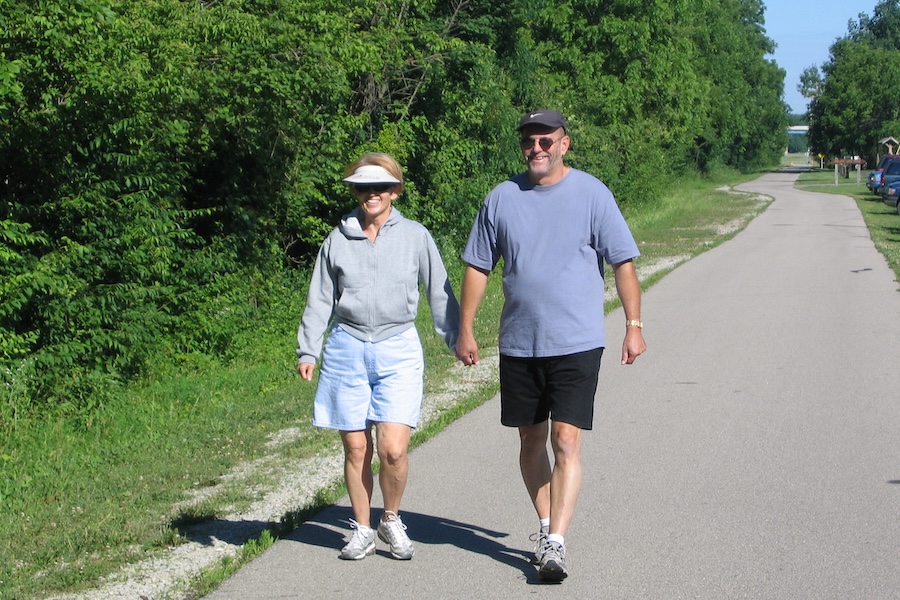
“The trail is very well used by the communities it runs through,” said Carrie Scarff, chief of planning and projects for Dayton’s Five Rivers MetroParks. “It’s an easy trail, slides right by Sycamore State Park and it connects those communities to lots of assets. It gives people a great opportunity to exercise, get outside, get out of their cities and get into nature. It’s a separated path so that whole family can use it, from age 8 to 80.”
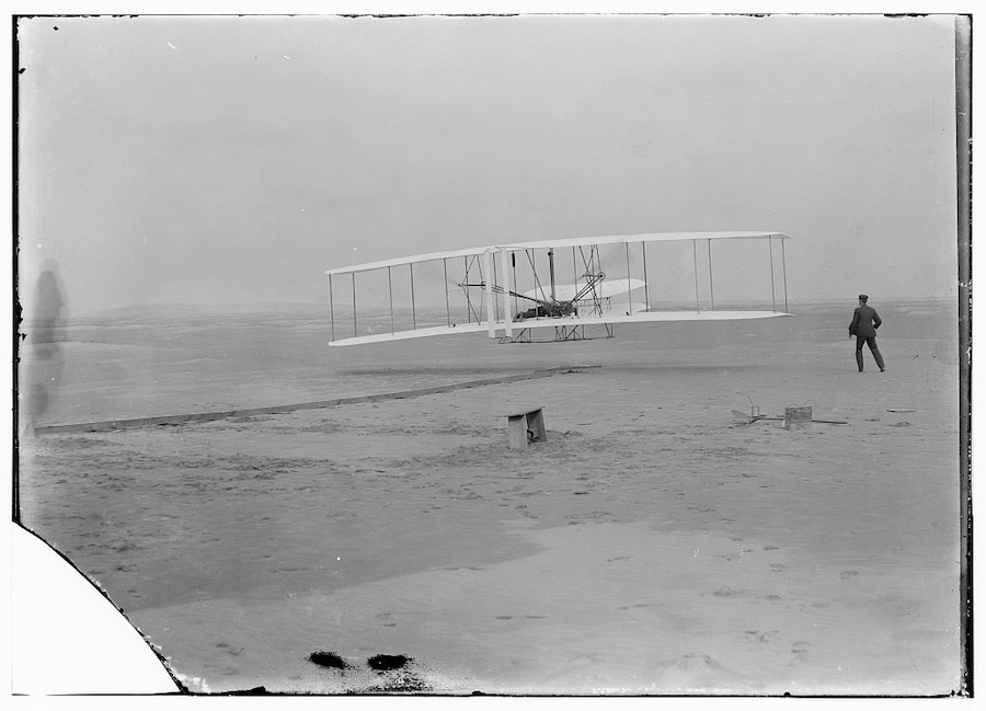
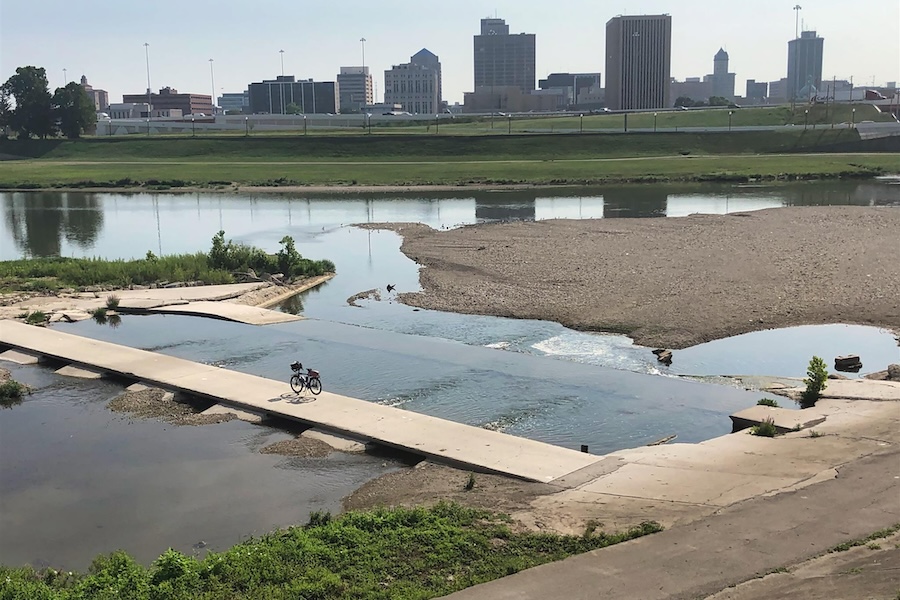
Currently, the trail is open in two disconnected segments. Its shorter, 3.7-mile section parallels its namesake waterway across western Dayton. From a connection with the Great Miami River Trail, it skirts past destinations such as the Dayton Aviation Heritage National Historical Park (which includes several historic sites commemorating the accomplishments of the famed Wilbur and Orville Wright brothers) and rolls into the wooded, 62-acre Wesleyan MetroPark.
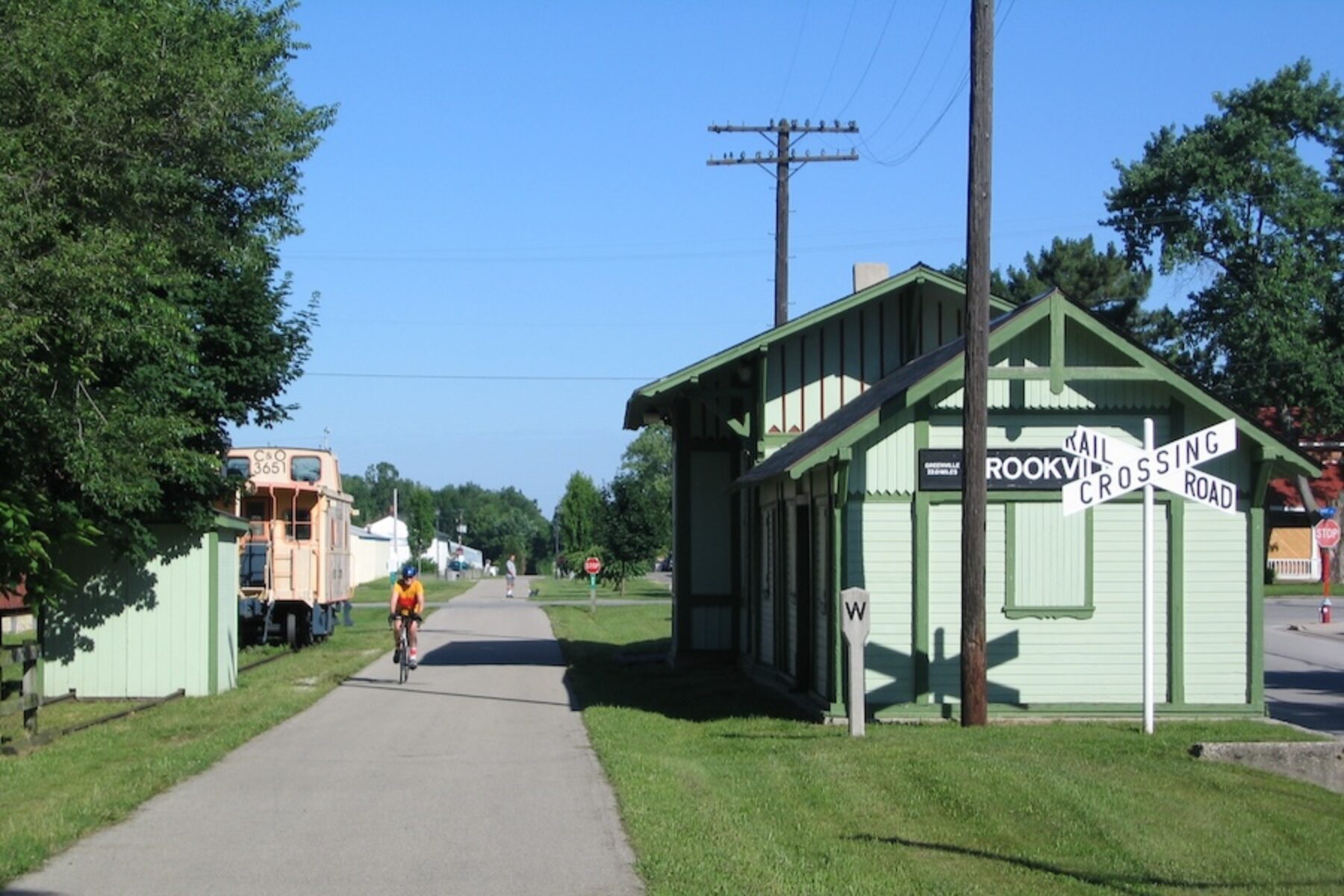
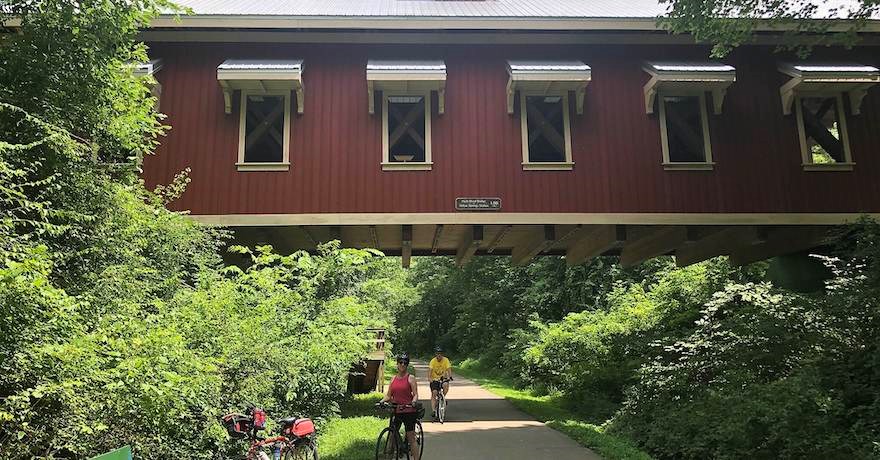
Once a line of the Dayton and Greenville Railroad, the trail’s longer 12.5-mile segment picks up in Trotwood and passes Craftsman and Victorian homes from the 1900s. Following a slight uphill grade for most of the way to Brookville, it rolls by farm pastures with horses, cows, sheep and even llamas. Continuing northwest through western Montgomery County, it runs alongside Sycamore State Park (named for the large sycamore trees linking the banks of Wolf Creek) and ends at the village of Verona. The Dull Woods Conservation Area is a nice pit stop along the way, particularly the boardwalk through a remnant of a pristine swamp forest.
A Community Asset Takes Shape
Dayton’s extensive trail system was started in 1976 thanks, in part, to the vision of Horace ‘Huff’ Huffman, CEO of the Huffy corporation, which debuted its first bicycle in Dayton in 1892. A passionate cyclist since the 1930s, Huffman co-founded the Dayton Cycling Club in 1961 and formed the Greater Dayton Bikeway Committee in 1965, which drafted one of the nation’s first regional bikeway plans. That plan was adopted by the regional planning commission in 1973 and included the trail along the Great Miami River.
“While we market [the trails system] as one big brand, ‘Miami Valley Trails,’ it actually runs across ten counties with at least a dozen different agencies and park districts managing it all,” explained Matt Lindsay, the manager of environmental planning for the Miami Valley Regional Planning Commission.
During the time that Dayton’s bike trail system was taking hold, the Dayton and Greenville Railroad began its downward spiral. At its end, it was owned by CSX and eventually abandoned in the 1990s.
By 1997, the first section of the Wolf Creek Trail, from Trotwood to Verona, was completed by Five Rivers MetroParks. Another mile was established in Dayton in 2003, running from the Great Miami River to the Wright-Dunbar neighborhood. A year after that, a trail bridge over Wolf Creek in Wesleyan MetroPark connected the two sides of the park that had been bisected by the creek.
“The trail is a great asset to the community and brings people to the region,” said Chad Downing, the executive director for the Trotwood Community Improvement Corporation, while also acknowledging that there’s still one major hurdle for the trail. “The one challenge is that it’s the one leg of the trail system that isn’t yet completely connected. So, we’re exploring grant opportunities and other funding options to finish that connection. That’s one of our big priorities.”
A bevy of local agencies are working together to connect the trail’s two segments by completing the 4-mile gap between them, which is located primarily within the town of Trotwood.
“Naturally, a lot of trail projects start with the easier portions of the trail being completed first,” explained Lindsay. “That inevitably results in then having the last segments be the ones that are tougher nuts to crack. But we’re involved right now on the funding side, to find a project sponsor and identify the funding to get the right of way and get the design built.”
The grant process itself will take about a year, noted Downing, then Five Rivers MetroParks will need to secure property through easements or acquisitions, all while prioritizing accessibility and keeping it aligned with the creek when possible. But he’s also seeing how local businesses are embracing the trail and sometimes even adding to it themselves. He notes that they had to reroute the trail to make way for a major development in an industrial park, as a new tenant was looking to expand their operations.
“They saw the benefit of having the trail near their facility, so they are paying for the rerouting themselves,” said Downing. “Partners like these understand the potential for, and benefit of, their own workers getting to bike to work. It’s a big win as it just creates even more opportunities for people to travel throughout the community.”
Future Plans
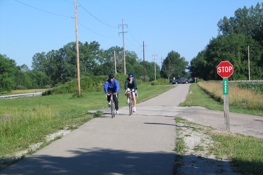
Trail proponents are also looking to integrate the trail with bike lanes traveling to and from Trotwood’s Main Street, which will allow people to get lunch, shop and connect to other destinations.
“A lot of the companies that are relocating here are from Europe and other parts of the world,” said Downing. “They’re often used to more bike-friendly environments and therefore want to enhance the trail. It’s a tremendous added value to the community.”
Rap Hankins, a former city council member and president of Drive Electric Dayton, added, “When it’s completed, it might be one of the most beautiful sections of all the bike trails in the Miami Valley. It will be a benefit to the environment by getting more people away from using fuel-guzzling cars and be an economic driver for the community as businesses will relocate near the bike path.”
The current gap in the trail is almost entirely within a predominantly Black community and some see this gap as evidence of racial inequity in our society. “If you look at trails through the lens of racial equity and environmental justice, you must look at where the last place these sorts of amenities are usually funded,” explained Hankins. “It’s not a problem in the wealthier communities; it’s a problem in the underserved communities. If we really want to embrace both racial equity and environmental justice, we need to make sure we have the same amenities for all our citizens.”
But Hankins sees an end in sight for the trail that he’s been championing for a long time. “After decades of having this vision, I think we’re finally close to really finishing it. It’s simply a matter of people getting together, recognizing the need for it, and getting it done. We must bring so many people to the table and get them to all agree, and that’s not easy. It’s just time that we make it happen, though, and ensure that we have the same kind of amenities here [in Trotwood] that other communities do, too.”
Once the current iteration of the trail is completed, there are plans to extend the trail network even farther to the west. Planning is underway to connect the trail through Preble County to Richmond, Indiana, and the Cardinal Greenway there.
“In addition to finally connecting metro Dayton’s neighborhoods, the Wolf Creek Trail is also the key to expanding the regional network much farther, both to the west and northwest,” said Scarff.
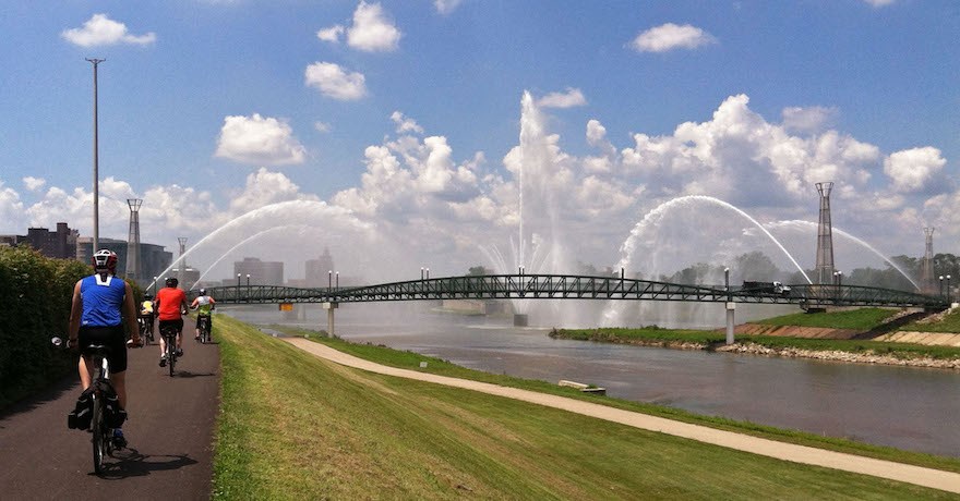
The Wolf Creek Trail’s connectivity also extends to national projects, including the Great American Rail-Trail, a developing multiuse trail network stretching more than 3,700 miles between Washington, D.C., and Washington State.
“Inclusion on several national-scale trails, like the Great American Rail-Trail, is another big motivator for closing the gap in the Wolf Creek Trail,” said Lindsay. “It’s also included in U.S. Bicycle Route 50 and the ‘Chicago to New York City Bicycle Route’ from Adventure Cycling. Connectivity to the regional network, particularly for the underserved City of Trotwood, has really been emphasized in the regional conversation about filling the gap.”
In Scarff’s department, there is real determination to complete the trail’s final segment as they continue to work diligently on securing the funding that will allow her agency to build it. “That stretch will go through some very dense and underserved neighborhoods, ones that we really want to serve. Once the trail is complete, these neighborhoods will then be connected to the entire 375-mile trail system and then they can go literally anywhere on trails.”
Related Links
Trail Facts
Name: Wolf Creek Trail
Used railroad corridor: Dayton and Greenville Railroad
Trail website: Five Rivers MetroParks
Length: 16.2 miles
County: Montgomery
Start point/end point: Wolf Creek Trail is open in two disconnected segments. The eastern segment spans 3.7 miles and begins near downtown Dayton, where Wolf Creek intersects the Great Miami River in Sunrise MetroPark. This section ends on N. James H. McGee Blvd., 350 feet south of Little Richmond Road, near the northwestern boundary of the city.
The western segment of the trail, extending 12.5 miles, picks up in Trotwood at Vickwood Ln., 0.1 mile south of Wolf Creek Pike. It continues northwest to Preble County Line Road and Hemlock St. in Verona.
Surface type: Asphalt
Grade: The trail has the relatively flat grade typical of most rail-trails. On the western section, there is a slight uphill grade from Trotwood to Brookville.
Uses: Walking, bicycling and inline skating; wheelchair accessible
Class 1 and 2 e-bikes are allowed (if they don’t exceed 20 mph or a 96-inch length). In the winter, the farther reaches of the trail are not plowed, while the ones near the city core are brushed or plowed.
Difficulty: With a paved, flat surface, the trail is considered to be an easy experience.
Getting there: Dayton International Airport (3600 Terminal Drive, Dayton), located 12 miles north of the trail’s starting point, is served by Allegiant, American, Delta and United airlines. There is also a Greyhound bus station at 5136 Salem Ave. in Trotwood.
Access and parking: On the east end of the trail, parking is available at McIntosh Park (882 W. Riverview Ave., Dayton) on the north side of Wolf Creek. ADA-accessible parking is also available at Wesleyan MetroPark (1441 Wesleyan Road, Dayton) and the park’s Adventure Central youth center (2222 N. James H. McGee Blvd., Dayton).
For the western segment of the trail, parking is available in Trotwood at the trailhead at E. Main Street and S. Broadway Avenue, as well as in Brookville at Golden Gate Park (545 Upper Lewisburg Salem Road, Brookville) and the trailhead near the Dull Woods Conservation Area (8199 Cole St., Brookville).
To navigate the area with an interactive GIS map, and to see more photos, user reviews and ratings, plus loads of other trip-planning information, visit TrailLink, RTC’s free trail-finder website.
Rentals: Dayton’s Link bike-share system will operate on the trail near the city core, but not farther out. About 11 miles southwest of Wolf Creek Trail, Whitman’s bike shop (21 S. Main St., Miamisburg; phone: 937.384.0337) rents road, cruiser, hybrid, tandem and recumbent bikes.

Donate
Everyone deserves access to safe ways to walk, bike, and be active outdoors.
