Alabama’s Hugh S. Branyon Backcountry Trail
Trail of the Month: December 2023
“We tried to come up with activities that fit in with the nature theme of the park.”
Phillip West, director of Orange Beach’s Coastal Resources Department
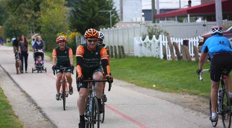
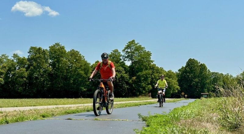
The smell of saltwater wafted through the air on a temperate September afternoon. The few clouds in the perfectly blue sky diffused the sun’s rays and kept the temperature hovering in the low 80s, while a monarch butterfly fluttered about a patch of white prickly poppies. In short, the perfect conditions for a bike ride. Pedaling onto Alabama’s coastal Hugh S. Branyon Backcountry Trail, a sign caught my eye and caused me to pause: Do Not Feed or Aggravate the Alligators.
As a general rule, I don’t ever feed or aggravate alligators. In fact, I try to steer clear of them at all times, lest they confuse me for a bigger, hairier nutria or feral hog, aka their next meal. In my mind, the sign suggested hundreds of alligators hanging out in the lakes and swamps, which made me consider just heading back to the campground. But I mustered my courage and decided to press on in the name of journalism.
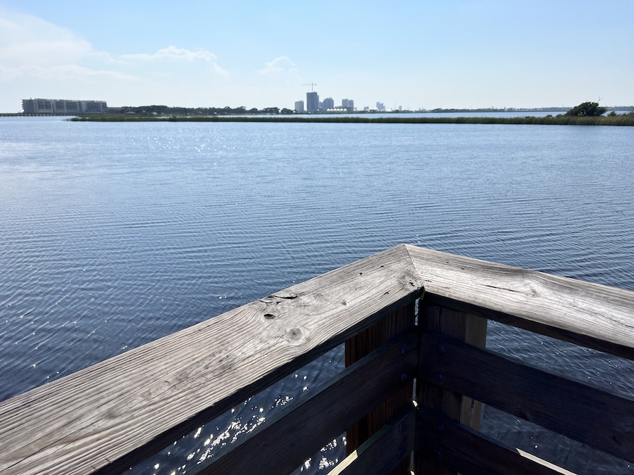
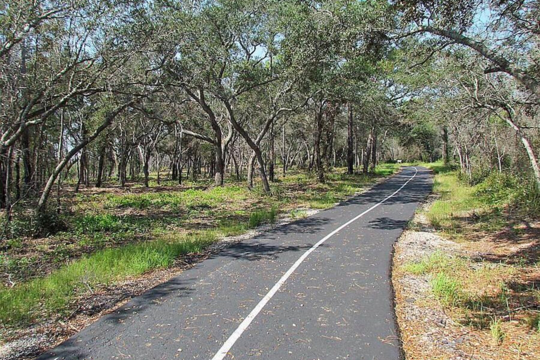
The 23-mile paved Hugh S. Branyon Backcountry Trail runs through Gulf State Park and the surrounding cities of Gulf Shores and Orange Beach. It’s named after former Gulf State Park Superintendent Hugh S. Branyon, who had a burning passion for the outdoors and served in his position from 1970 until his retirement in 2009. His legacy is a multiuse path that attracts users from across the country—and was even voted the top recreational trail in the 2023 USA TODAY 10Best Readers’ Choice Awards.
An Ancient Past and Bright Future
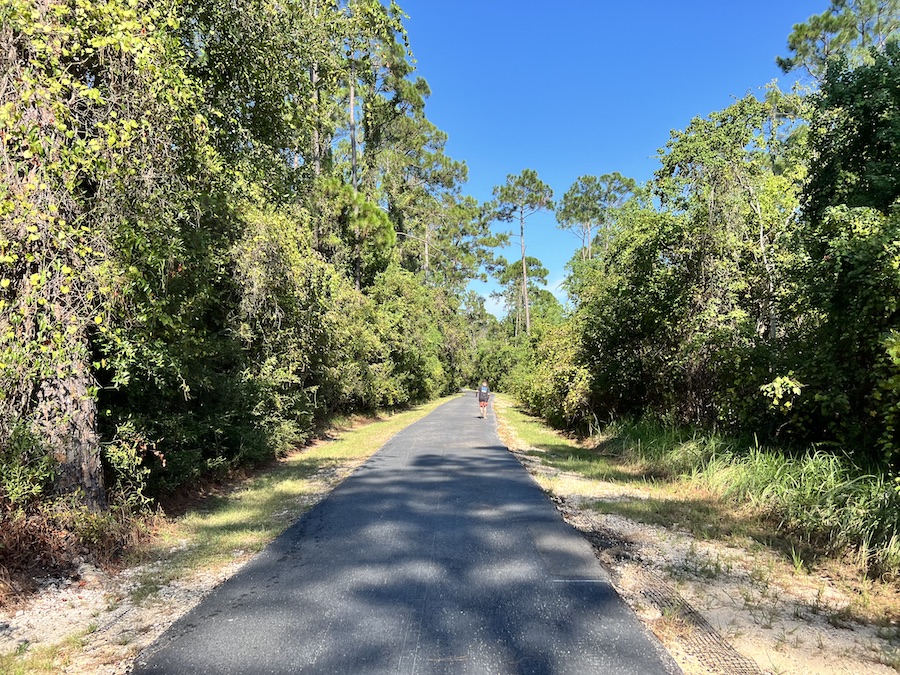
The trail was built on the remnants of jeep doubletrack that had been, in turn, settler wagon roads and, before that, footpaths used by Indigenous communities for at least 5,000 years, according to Easton Colvin, public relations coordinator for Gulf Shores and Orange Beach Tourism. Archeologists have discovered stone tools and arrowheads in the area dating back to the Creek Nation, as well as an ancient canal built more than 1,400 years ago. It’s entirely possible that the earliest inhabitants of the region may have hunted mastodon on the same paths I’m now biking.
Soldiers stationed on nearby military bases used to venture down to Gulf Shores to recreate on the beaches and load up on oranges and other citrus fruit to supplement their rations. But by 1972, those jeep roads were closed off to the public, according to Phillip West, director of Orange Beach’s Coastal Resources Department.
“We had thousands of acres of property with no one to patrol [them], which could lead to mischief,” West said. “It was much easier to lock up those areas and tell people to stay out.”
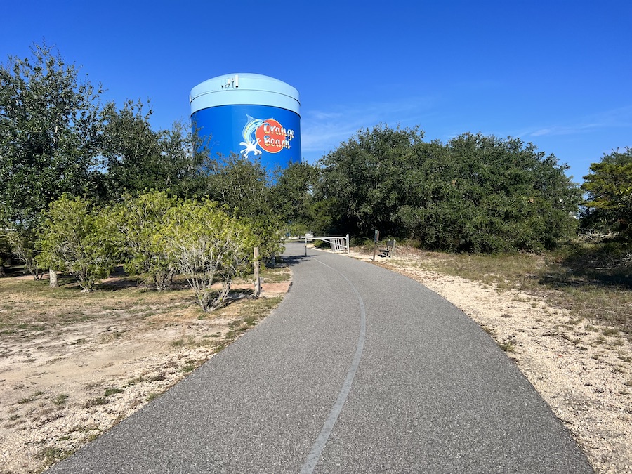
As demand for recreational opportunities in the area grew, officials knew they had an opportunity to transform the unused roads to greenways. The first pavement was laid in 2003, and the trail network has been steadily growing ever since. Today, the Hugh S. Branyon Backcountry Trail is an amalgamation of a handful of smaller trails, like the Catman Road Trail—named after a legendary “half-man, half-panther” creature that allegedly stalked the surrounding forests—and the Rosemary Dunes Trail, all seamlessly connected.
A planned trail extension to nearby Fort Morgan could begin as soon as early 2024. But this section of trail will likely be a bit more difficult, as “there will be a lot of driveways to cross and bridges needed,” West said. Eventually, the trail could be part of a greenway network spanning more than 200 miles.
Flora, Fauna and Fun
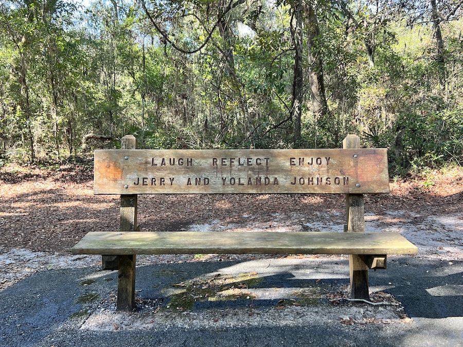
The main Gulf State Park campground attracts snowbirds from across the country, who frequently use the trail for fun and exercise. (Human-powered campers can take advantage of a smaller hike/bike-in campground located in the heart of the park right off the trail.) According to trail counters, the trail sees around 175,000 uses during its winter 60-day peak period. Wooden benches are scattered throughout, each bearing the inscription of a donor, like the Illinois Snowbird Club, or Meriel and Stephen, who celebrated a 50-year anniversary in 2016.
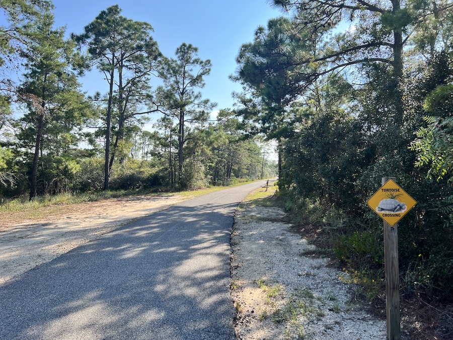
Its popularity may be due to the sheer variety of ecosystems accessible by the trail, such as longleaf sand ridges, coastal dunes, live oak maritime forests, pine flatwoods, freshwater marshes and coastal hardwood swamps. A wide range of wildlife call these habitats home, including the endangered Alabama beach mouse, the gopher tortoise, deer and bobcats. Wooden bridges and boardwalks provide perfect vantage points for birdwatching or photography, but perhaps most importantly, the trail also takes you to the gorgeous white sand beaches perched on the shores of the Gulf of Mexico.
In addition to these connections to nature, the trail also rolls past several family-friendly attractions. I was tempted to hop on the parkour challenge course or scramble up the fiberglass rocks making up Boulder Park, but decided against it, as I have horrible health insurance. Inside the park’s campground, you’ll find a nature center and a general store where you can buy cold drinks and snacks.
“We tried to come up with activities that fit in with the nature theme of the park,” said West. He added that they chose to make the trail wide enough that kids learning how to ride a bike with training wheels wouldn’t constantly be riding off the trail.
Town and Trail Connections
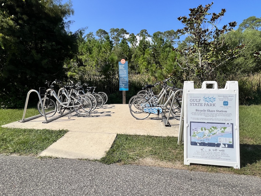
The trail also leads out of the park to nearby restaurants and supermarkets, allowing visitors to easily restock their RV or have a date night in town. To the west is the community of Gulf Shores, and to the east is Orange Beach. Colvin doesn’t know how many full-time residents use the trail as their main transportation corridor, but he estimated the number would be fairly significant, as it’s the safest route between the two towns.
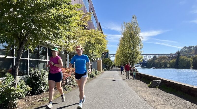
During my visit, I see dozens of walkers and riders of all ages, as well as a high school cross-country team putting in some miles before their next competition, but what I didn’t see was an alligator. Turns out, the park has a resident gator celebrity named Lefty who can be seen year-round around Lake Shelby. According to Colvin, if you’re lucky, you can see her gliding through the water or on the banks with her babies on her back.
“The gators are happy to stay in the water or hidden in the reeds surrounding the banks,” West said. “Very seldom is there a conflict. We just need to remember that this is their home, and we’re only guests.”
As a guest, I felt very welcomed by everyone I came across during my stay. I’m sure most readers inspired to visit will feel the same.
Related: Top 10 Trails in Alabama
Related Links
- Hugh S. Branyon Backcountry Trail website
- Gulf State Park
- Gulf Shores & Orange Beach Tourism
Trail Facts
Name: Hugh S. Branyon Backcountry Trail
Trail website: Hugh S. Branyon Backcountry Trail website
Length: 23.4 miles
County: Baldwin
Start point/end point: Orange Beach City Hall (Orange Beach) to W. Second St. and SC 180/W. Fort Morgan Road (Gulf Shores)
Surface type: Asphalt and concrete
Grade: The Hugh S. Branyon Backcountry Trail is a paved, ADA-accessible trail system.
Uses: Walking, biking, inline skating, fishing; wheelchair accessible
Difficulty: The trail provides an easy experience with access to numerous trailheads, restrooms and drinking fountains.
Getting there: Fly into Pensacola International Airport (2430 Airport Blvd., Pensacola, Florida), which is served by American, Delta, United, Southwest and Spirit. Orange Beach (and the start of the trail) is located about 32 miles southwest of the airport.
Access and parking: There are numerous places to park to access the trail, including at the trailheads listed below that all offer at least one accessible parking space. They’re listed clockwise from the north-central position of the trail’s loop:
- Orange Beach Sportsplex Trailhead: 4385 William Silvers Pkwy. (30.2816, -87.6133)
- Catman Road Trailhead: Catman Road/Marina Road and SC 161/Alabama’s Coastal Connection (30.2805, -87.5819)
- Cotton Bayou Trailhead: Cotton Bayou Trail and SC 161/Alabama’s Coastal Connection (30.2731, -87.5851)
- Rosemary Dunes Trailhead: Perdido Beach Blvd./SC 182/Alabama’s Coastal Connection (30.2589, -87.6338)
- Lakeview Trailhead: State Park Road 2/Eagle Connector/Fort Morgan Road (30.2660, -87.6715)
- Gulf Oak Ridge Trailhead West: Located at the dead-end of State Park Road 2/County Road 2/Fort Morgan Road (30.2716, -87.6556)

Donate
Everyone deserves access to safe ways to walk, bike, and be active outdoors.

