Ohio’s Camp Chase Trail
Trail of the Month: Nov. 2021
“The significance that a bike trail could have—not only for individual fitness but also for the potential impact on the community.”
—Auto Dealership Owner Chris Haydocy
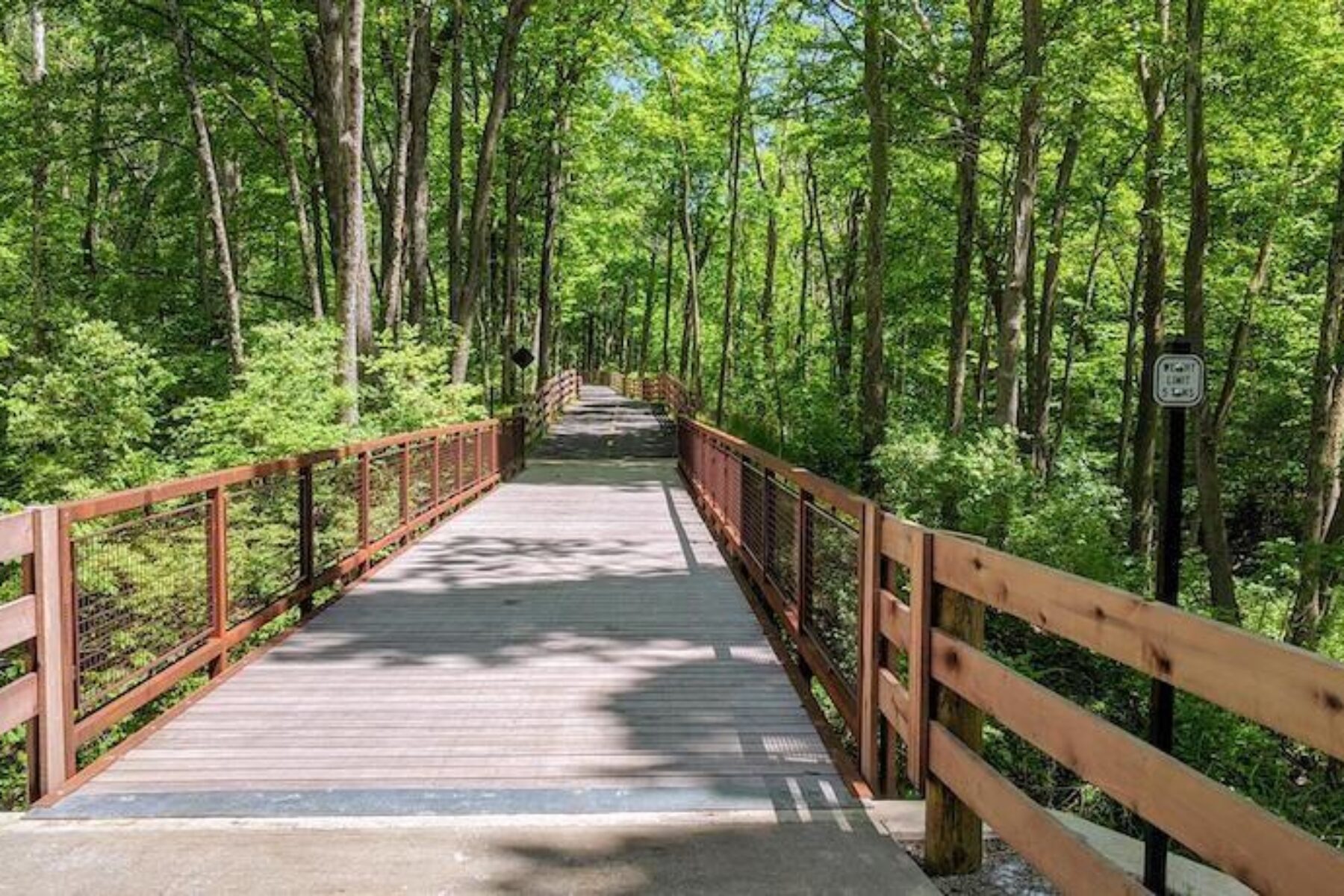
Ohio’s Camp Chase Trail is a 16-mile pathway traversing bountiful farmlands, calming countryside and invigorating city scenes. It begins at the Wilson Road SE (County Highway 103) parking lot in rural Madison County, heading east toward Columbus.
“Now you’re in the prairie lands and the farmlands—a favorite western Ohio environment,” said Brad Westall, greenways planner for the City of Columbus Recreation and Parks Department.
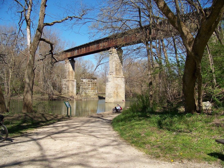
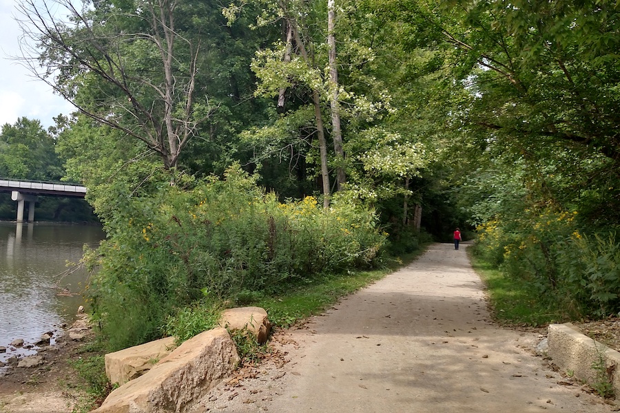
You continue along this creekside portion of the trail—sighting soybean and cornfields, country homes and barns—into Georgesville. Crossing the Darby Creek bridge, you’ll approach one of the trail’s main attractions, the Battelle Darby Creek Metro Park. This 7,000-acre expanse features a horse training farm, restored wetlands, a large nature center and a Fort Ancient mound.
The park is also known for its prairie land where a herd of bison gather. “That’s what makes it unique—it’s truly a restoration of animals that roamed here before development,” said Jody Dzuranin, co-founder the Friends of Camp Chase Trail. Visitors also enjoy a range of outdoor activities, such as hiking, biking, canoeing, fishing, cross-country skiing, sledding and more.
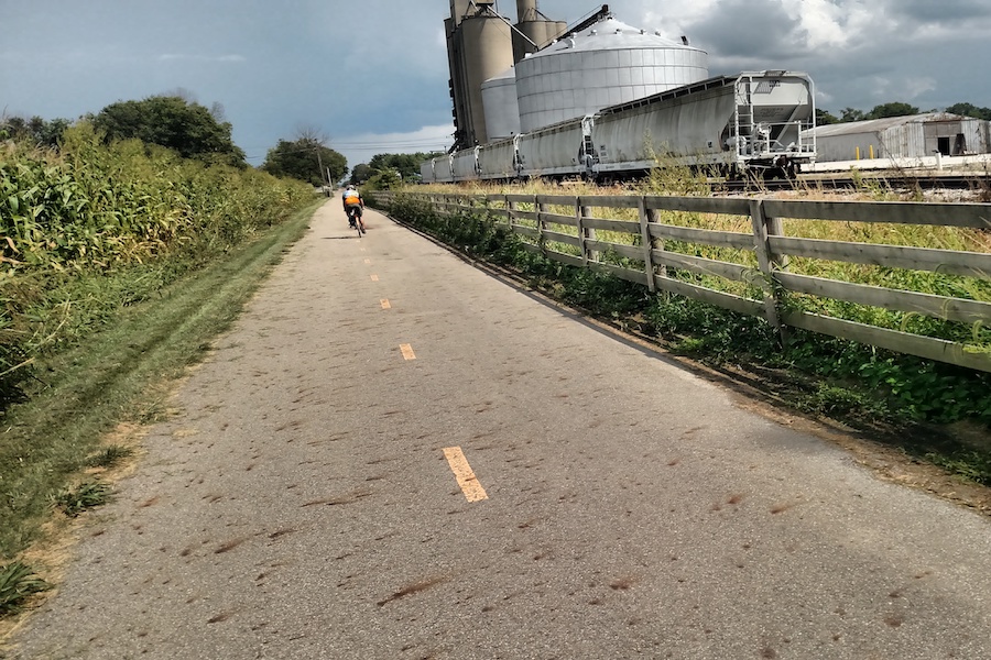
Passing the park, you reach the small town of Galloway, where “you get to experience some of the best rural views in central Ohio,” according to Westall.
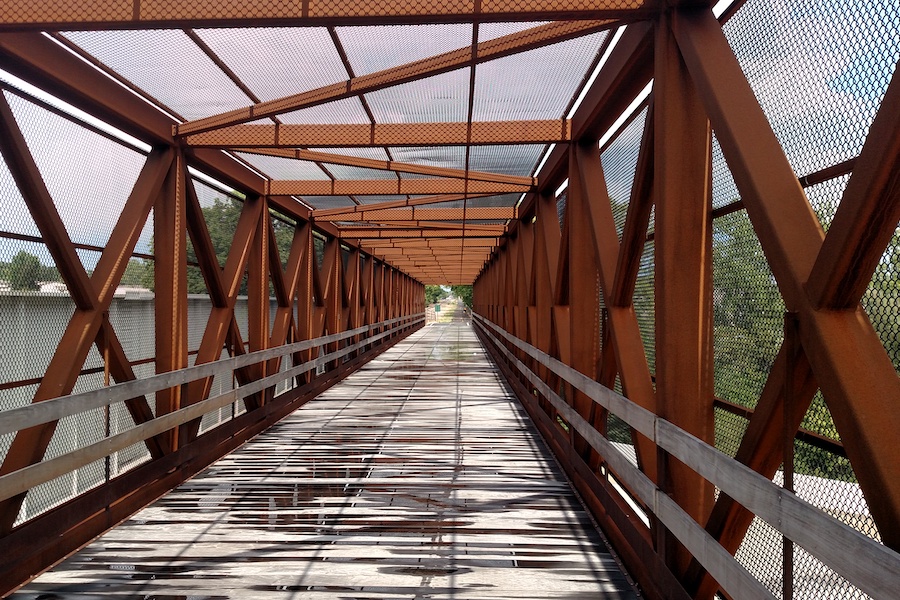
Eventually, the quiet journey along Camp Chase gives way to the bustle of Greater Columbus. “My favorite part is right around Broad Street where we climb and go over this old trestle,” said Westall. “You look down on one of Columbus’ favorite busy streets, and you’re gliding over it on your own pathway. It’s a powerful experience.” This side of the trail ends with a trip through one of the largest neighborhoods in Western Columbus, Greater Hilltop.
RELATED: A Unifying Vision: Central Ohio Greenways (Rails to Trails magazine, Winter 2021)
A Small But Mighty Trail
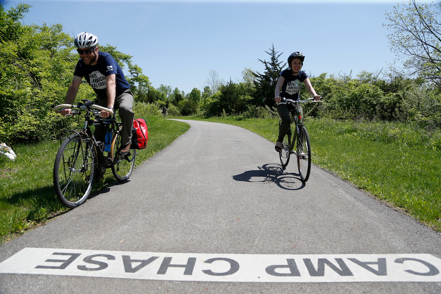
Though it’s comparatively short in length, the Camp Chase Trail is a vital connector for thousands of people.
Since the Camp Chase Trail opened in 2009, there’s been a “significant increase” in people taking multiday biking adventures along the 326-mile Ohio to Erie Trail, which connects Cleveland, Columbus and Cincinnati, according to Eric Oberg, the Midwest regional director for Rails-to-Trails Conservancy (RTC).
Camp Chase is also part of the Central Ohio Greenways—a regional, multicounty trail network centered around Columbus—and the Great American Rail Trail™, a developing multiuse trail system that will stretch 3,700 miles between Washington State and Washington, D.C.
“Without Camp Chase, so many of these long-distance projects would be sitting in the lurch because it’s a pretty difficult place to navigate without a connecting trail,” said Oberg.
Aside from a short stint along Darby Creek, the trail follows an active railroad, which brings another unique element to the pathway. “To ride on a well-maintained, super safe, 10-foot-wide asphalt trail—and all of the sudden, a locomotive pulling train cars comes within 10 to 15 feet—is a pretty awesome experience that doesn’t happen in a lot of places,” Oberg continued.
Many people credit Westall for negotiating the trail’s existence. Years after the original vision for a statewide trail was crafted in 1991 by Ed Honton—a former engineer for Franklin County—Westall was part of a group that surveyed locations for a new connector trail in Columbus. They decided that a swath along the Camp Chase Railroad was the best path. “The railroad was a perfect position, not only for the Ohio to Erie Trail, but for the inner-city neighborhoods of Columbus in Hilltop,” said Westall, who recalled at least six alternative locations that were studied. “They were all very out of the way. They were very crooked. But this was just a perfect trail alignment.”
With that in mind, “we decided to take the hard road,” said Westall, meaning getting approval from owners of the Camp Chase Rail Company, which operated short line railroads in multiple states.
Though the owners were hesitant, they were open to discussion. So Westall called their central office in Pittsburgh. “I literally just said, ‘I’m showing up, I’ll be there around lunchtime. Can you meet me?’” When he arrived, he noticed there was a rail line near the office with a pathway right next to it. “I got pretty excited as I parked my car. I thought ‘This is going to happen. This is going to come together because they’re open to it, obviously.’”
That was his angle entering what turned into an hours-long conversation and years of negotiating construction requirements and other regulations to acquire an easement alongside the tracks.
LEARN MORE: Great American Rail-Trail in Ohio
An Unlikely Ally
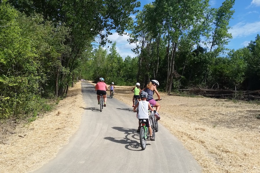
Westall will be the first to say he’s not solely responsible for the trail, which was eventually approved and named after the rail line. “It came down to a big pile of community folks that wanted it” and collaborated to “execute the blacktop,” he said.
In addition to major players such as the Columbus and Franklin County Metro Parks and RTC, there were a few surprising advocates including auto dealership owner Chris Haydocy. “Having a car dealer be an outspoken champion for a trail project is not something you hear about very often,” said Oberg.
Haydocy got word of the trail’s development when his Greater Hilltop ZIP code, which has a mix of African American, Hispanic, Somali and white residents, was named one of America’s loneliest areas. Government officials had no plans to address the neighborhood’s high commercial and residential vacancies, according to Haydocy.
“Truth be told, I was a bicyclist and I biked other trails. I understood the significance that a bike trail could have—not only for individual fitness but also for the potential impact on the community.” With concerns like distracted driving on streets, he added, “biking on trails is the perfect venue” in terms of safety.
Working alongside Dzuranin, Haydocy became a major proponent of the trail. “He was wonderful,” said Oberg. “Some of the earliest community meetings were held in his conference room space at the dealership. He was a true believer—it wasn’t just lip service to Chris.”
RELATED: Columbus: The Future of Connectivity
An Overdue Amenity
When it opened, the trail became the first to cut through the west side of Columbus’ Greater Hilltop, where the car dealership stands. Many of the area’s residents have less access to personal vehicles and poor health outcomes, affirmed Oberg. “There’s a million reasons why trails should have been built through these neighborhoods years and years ago.”
Now, local community groups use the Camp Chase Trail for recreation. “The city added the dry stream, and it’s been great to get our kids in camp and our families in Adventure Guides out to explore nature,” said Theresa Whittington, executive director of the Hilltop YMCA.
For Carl Voellmecke, president of the Columbus Westside Running Club, the trail “has helped foster running and cycling communities on the west side where we can safely meet and exercise without having to share the roads with vehicles.” Each year, the club hosts 52 group runs, 12 trail cleanups and two races.
Westside members of Ohio’s Major Taylor Cycling Club—the first bike club in the United States to honor African American cycling champion Marshall Walter Taylor— “enjoy the trail regularly,” said the club’s president, Jed Rumora. This fall and winter, the club plans to use Camp Chase for nighttime group rides. “We had about 18 people last week, and they were all hooting and hollering, screaming and yelling in the dead of night. It’s really cool,” said Rumora.
Revitalization and Forward Movement
As Haydocy predicted, westside neighborhoods began to revitalize once the trail opened more than a decade ago; since then, more than 40 new businesses have popped up including another unlikely ally, the Hollywood Casino Columbus. “The casino contributed a significant amount of money to build the Wilson Road Park on the Camp Chase Trail,” said Haydocy, insisting that the casino and trail officials united for “the greater good” of the community.
Oberg agrees, “The casino been awesome about the trail; they’ve been great neighbors and partners.”
Looking forward, a 0.3-mile section of the trail by Darby Creek may get an upgrade, according to Dzuranin. Metro Parks staff are researching ways to replace the crushed-stone path with an “alternative permeable surface that would not adversely impact the protected waterway,” she said. There is also community support for creating a separate path or protected bike lane between the trail’s terminus at N. Eureka Avenue and the Hilltop Connector Bridge.
As others look to construct trails in their communities, cities and towns, Haydocy suggests thinking big. “Don’t try to build by the hundreds [of feet]—do it a thousand feet, or miles, at a time,” he said. “The dividends will absolutely be there.”
Related Links
- Central Ohio Greenways
- Battelle Darby Creek Metro Park
- Friends of Madison County Parks & Trails
Trail Facts
Name: Camp Chase Trail
Trail website: Central Ohio Greenways
Length: 15.9 miles
County: Franklin, Madison
Start point/end point: Wilson Road SE, 1 mile north of OH 665/London-Lockbourne Road in London to N. Eureka Avenue, 300 feet south of Valleyview Drive in Columbus
Surface type: The Camp Chase Trail is mostly paved with the exception of the 0.33-mile connector through the Battelle Darby Creek Metro Park, which is crushed, packed limestone.
Uses: Walking, biking, inline skating, and cross-country skiing; wheelchair accessible
Difficulty: The trail is ADA compliant and well suited for novice users. The exceptions are the 0.33-mile section by Darby Creek that has a crushed-stone surface and a moderately steep paved section between Darby Creek and Darby Creek Drive.
Getting there: The closest commercial airport to the trail is the John Glenn Columbus International Airport (4600 International Gateway), situated about 12 miles northwest of the trail’s eastern trailhead. The Columbus Greyhound Bus Station (111 East Town Street) is less than 5 miles west of the trailhead.
Access and parking: You can reach the trail at the Wilson Road trailhead, Battelle Darby Creek Metro Park trailhead and Wilson Road Park in Columbus. There is parking available at each location.
To navigate the area with an interactive GIS map, and to see more photos, user reviews and ratings, plus loads of other trip-planning information, visit TrailLink.com, RTC’s free trail-finder website.
Rentals: Bicycle rentals are offered in the Greater Columbus area by CoGo at multiple stations.

Donate
Everyone deserves access to safe ways to walk, bike, and be active outdoors.
