Top 10 Trails in South Carolina
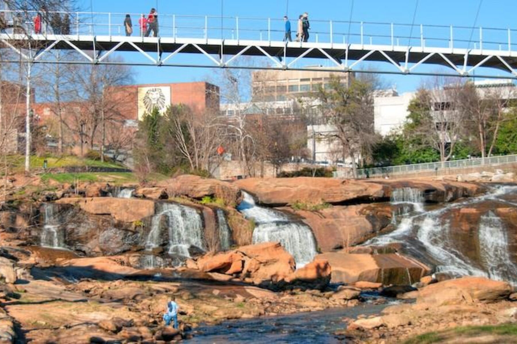
If you can’t decide whether to visit a still forest or coastal beach, a bustling city or more rural environments, South Carolina has you covered. Thanks to the trails in South Carolina, you can often experience it all on one greenway. Best of all, exploring by foot or by bike means you’ll have an even better excuse to sample the cuisine South Carolina is known for. You’ll find plenty opportunities to refuel along the state’s trails, from small stands hawking boiled peanuts to Carolina barbecue joints to restaurants serving the incredible low-country specialties inspired by the Gullah Geechee, one of the oldest and culturally rich African American populations in the nation.
Spanish Moss Trail
County: Beaufort
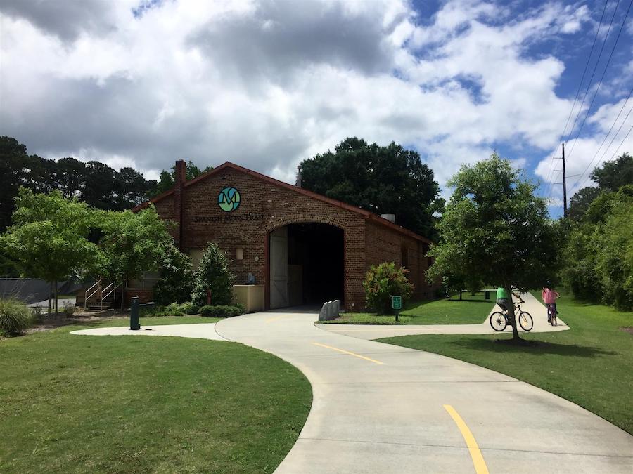
Following the remnants of a Port Royal Railroad line, this pretty 10-mile greenway takes trail users past the lovely low-country scenery that eastern South Carolina is known for, as well as groves of trees covered in the trail’s namesake moss. Be sure to keep an eye out for the king fishers and other wading birds looking for their next meal in the water. Construction of a planned connection from the Depot Road Trailhead to Ribaut Road in downtown Beaufort could begin this summer, the first of a planned 6 miles of trail expansions slated for the coming years.
Prisma Health Swamp Rabbit Trail
County: Greenville
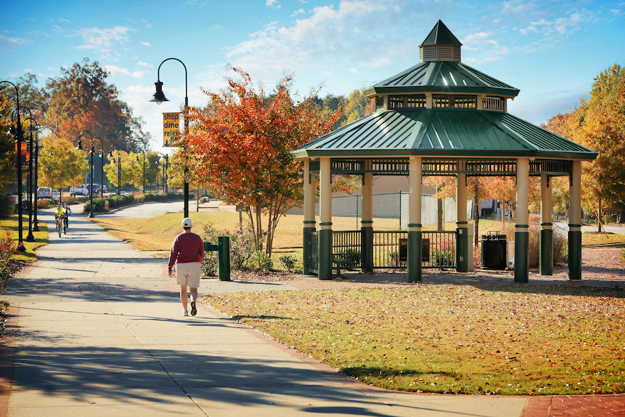
Most folks love their local rail-trail. But Greenville residents looooooooove their Swamp Rabbit Trail; multiple businesses and even their minor league baseball team share the name, slang for the steam trains that chugged through town in the 1880s. So why is this 15-mile trail so beloved? Rolling through downtown Greenville to the picturesque town of Travelers Rest, the Swamp Rabbit follows the Reedy River past gorgeous waterfalls and suspension bridges, underneath rows of shade trees, through the beautiful Furman University campus, and next to a variety of restaurants and fun shops. Many rail-trail aficionados consider this one of the best greenways in the United States.
Peak to Prosperity Passage
County: Newberry
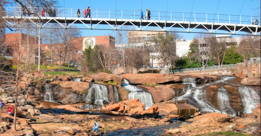
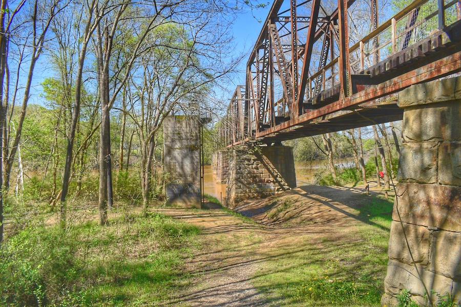
Part of the developing statewide, 500-mile Palmetto Trail, the Peak to Prosperity Passage stretches nearly 11 tree-lined miles. Built on a former Norfolk Southern Railroad line, the trail passes over more than a dozen repurposed wooden trestles spanning Crims Creek. (The area’s commonly known as Dutch Fork, even though it was German immigrants who settled the area in the first half of the 18th century.) When crossing the 1,000-foot Broad River trestle, don’t let the gorgeous views of the creek distract you from the sky, as bald eagles are known to frequent the area. Camping is allowed at the Alston trailhead, but be sure to pick up a cheeseburger from nearby Wilson’s Grocery before tucking yourself in at night; locals swear they’re among the best in the state.
Mary Black Foundation Rail Trail
County: Spartanburg
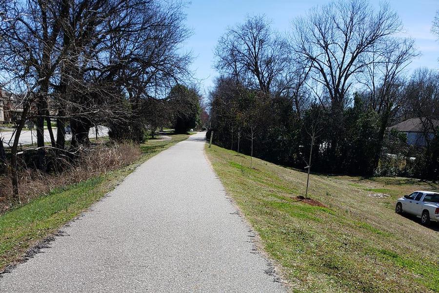
Like a paved Russian nesting doll, the 2-mile Mary Black Foundation Rail Trail sits within several other, larger trail networks: Spartanburg’s 12-mile Hub City Connector, the planned 32-mile Daniel Morgan Trail System (nicknamed “The Dan”), and the 500-mile, statewide Palmetto Trail.
So how did this relatively tiny segment wind up on our list? There are almost too many fun places and activities crammed into its 2 miles. The trail traverses the Rail Yard, which features a yoga and exercise pad, misting stations and the Carolina Panthers Play 60 Park, as well as a brand-new bike park with a pump track and progressive obstacle course. Farther down you’ll find a dog park—great for a quick stop assuming Fido isn’t too tuckered out from his 2-mile walk—and plenty of coffee and dining options. If you didn’t bring a bike, you can rent a BCycle bicycle at one of several downtown Spartanburg kiosks. Construction on a half-mile extension could begin in the next year or two.
Doodle Rail Trail
County: Pickens
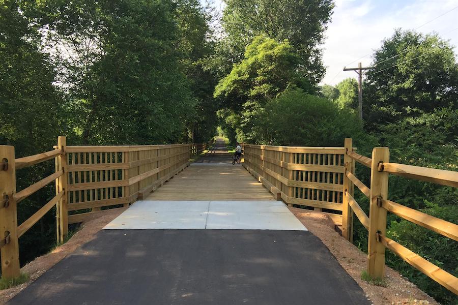
Not only does this 8.4-mile rail-trail have plenty of pretty scenery along its tree-lined pavement—two wooden trestle bridges, colorful murals, pastoral farmland practically cut out from an Andrew Wyeth canvas—but it’s also got one of the most adorable back stories. The original Doodle Line railroad ran backwards like a doodlebug between Pickens and Easley; apparently there was no way for it to turn around. Today that rail past is remembered through both the trail and Sweet Tea Cycles’ converted rail car at the Easley trailhead, where visitors can rent bikes for a pleasant afternoon spin.
Waccamaw Neck Bikeway
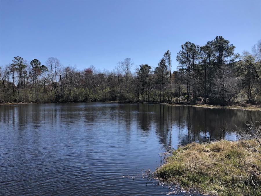
County: Georgetown
Part of the 3,000-mile East Coast Greenway, the Waccamaw Neck Bikeway is, at the moment, still in development. Currently the paved trail runs about 6 miles alongside US 17, from Murrells Inlet and through the sweeping, 2,500-acre Huntington Beach State Park to Woodville Acres (a very tiny segment is also open in Pawley’s Island), but the plan is to eventually connect to the Waccamaw Neck Peninsula about 18 miles further south. In the meantime, you can ride to Pawleys Island by using other completed strips of trail and existing roads. Part of the trail traverses the Waccamaw National Wildlife Refuge, so you can expect to see any number of animals, including foxes, swallow-tailed kites and, if you’re lucky, black bears.
Three Rivers Greenway
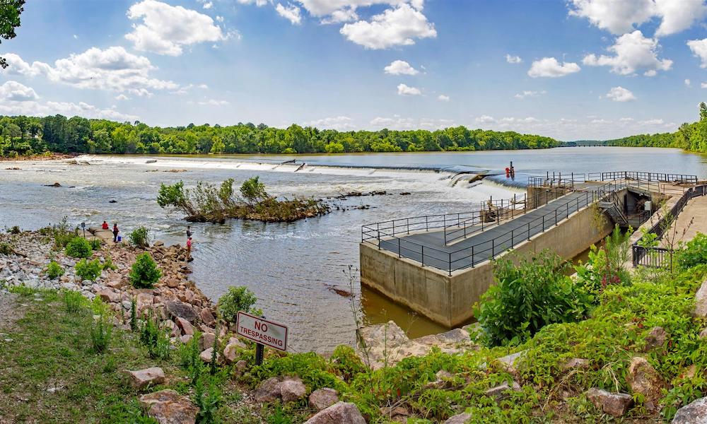
County: Richland
Comprised of two separate trails—the West Columbia Riverwalk and the Cayce Riverwalk—at the confluence of the Broad, Saluda and Congaree rivers, the aptly named Three Rivers Greenway highlights the best the cities of Columbia, West Columbia and Cayce have to offer. Locals love to stroll along the greenway and maybe have a picnic on the water, or take in artist Wade Gedding’s hand-carved animal art installation along the Cayce Riverwalk or a concert at the outdoor amphitheater right off the West Columbia Riverwalk. Kayakers are a common sight on the trail, as you will find multiple access points to the river along the 12-mile path.
West Ashley Greenway
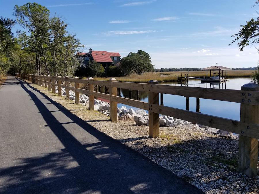
County: Charleston
As you leave behind the confines of suburban Charleston, the 8-mile West Ashley Greenway transforms from asphalt to dirt and the views get a bit more wild. Entering the wetland areas, you’re likely to see any number of coastal birds. The trail can get a little rough and narrow in places, so wider tires are a must for cyclists. The trail ends at Johns Island, which happens to be one of the leading tomato growing areas in the United States. Many of the local farm-to-table restaurants get their local produce from the growers here. If you want to extend your ride, the Greenway connects to its sister trail, the 2.5-mile West Ashley Bikeway.
Florence Rail Trail
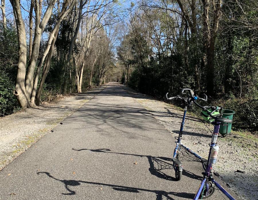
County: Florence
The Florence Rail Trail lies on a former railway that was primarily used by Confederate forces during the Civil War. Today, the popular 2-mile trail stretches from a residential neighborhood to a fitness center, where runners and walkers can explore additional nature trails, to its current terminus at Beltline Drive. Pine and sweet gums trees line the trail, offering a shaded respite from the hot summer sun.
Why do we love this trail? It is an important community connector that has long served as a major venue for promoting daily fitness routines and wellness in the local community.
North Augusta Greeneway Park
County: Aiken
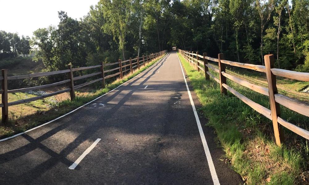
Known to locals as simply “The Greeneway,” this 7-miles-plus, federally designated National Recreation Trail was named after former Mayor and trail champion Thomas W. Greene (1985–1997). The Greeneway follows a former Central of Georgia Railway line from the River Golf Club on the Savannah River to Bergen Road. Despite meandering through various neighborhoods, the stillness in and around the woods, the abundant wildlife and stunning views almost make you forget you’re actually in a suburban setting.
Special acknowledgments: Amy Johnson Ely, executive director, Palmetto Cycling Coalition; and RTC staffers Marianne Fowler, senior strategist for policy advocacy, Kelly Pack, director of trail development, and Andrew Dupuy, director of state-level policy
When you subscribe to Rails to Trails magazine, you’ll have access to many other features like this one. Our magazine is a premium of Rails to Trails membership. Join today to start receiving the magazine!

Donate
Everyone deserves access to safe ways to walk, bike, and be active outdoors.
