Top 10 Trails in Connecticut
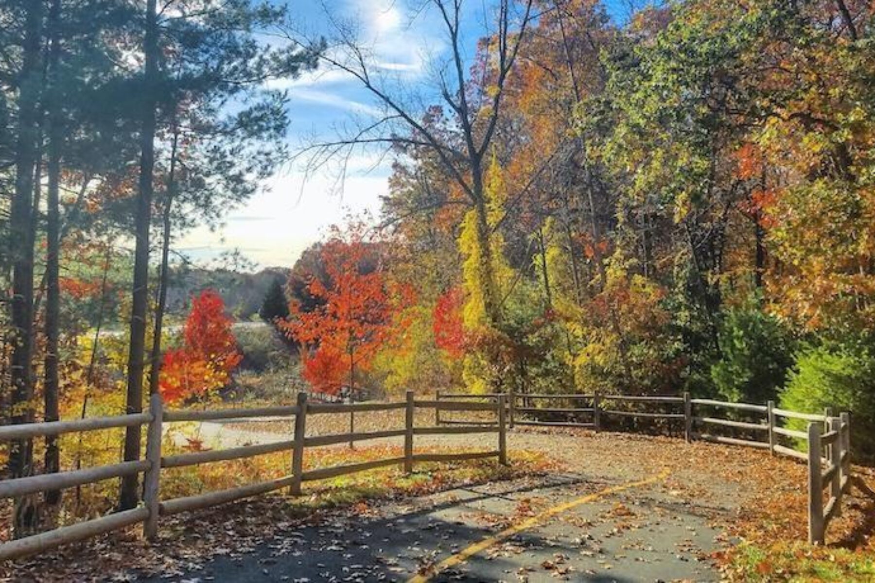
Railroads and canals both played huge roles in Connecticut’s early economic development. Today those corridors serve as trails for bicyclists, walkers, equestrians and others seeking quality time outdoors. Many are heavily wooded, creating shade on hot summer days and colorful displays in the fall. They also provide alternative transportation opportunities for commuters in the Constitution State’s largest cities. Long-distance travelers will find 98 trail miles of the 3,000-mile-long East Coast Greenway within the state’s borders, as well as segments of the New England Rail-Trail Network.
Air Line State Park Trail
Counties: Middlesex, New London, Tolland, Windham
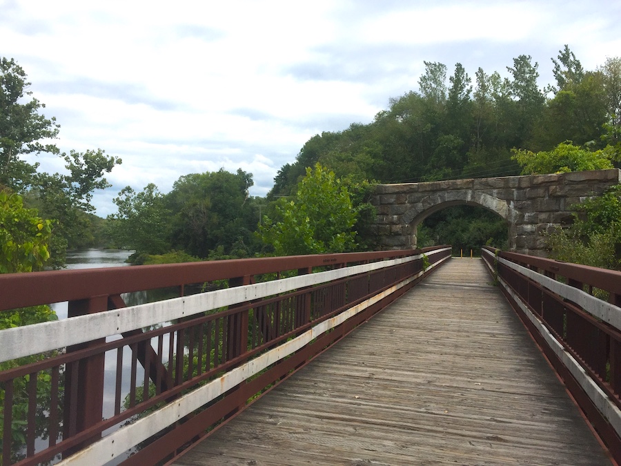
Many Connecticut residents make a bee-line to the Air Line State Park Trail when taking flight to the outdoors. Named for a historical Boston to New York City railroad, the trail rolls for 55 miles—with a few gaps—from the northeast border with Massachusetts to the heart of the state near Middleton. The gravel, ballast and crushed-rock surface can make for a rough ride in places, but the forested surroundings—especially when splashed with color in the fall—create a pleasant passage. It connects to the Hop River State Park Trail about midway in the village of Willimantic, where history buffs will enjoy the Connecticut Eastern Railroad Museum. The trail serves as a link in the six-state New England Rail-Trail Spine Network and the 3,000-mile East Coast Greenway running between Maine and Florida.
Hop River State Park Trail
Counties: Hartford, Tolland
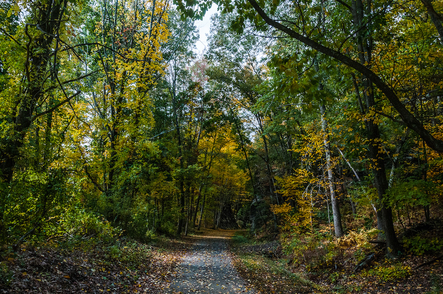
Travelers encounter three tunnels and a covered bridge as they navigate the 20-mile Hop River State Park Trail in eastern Connecticut. The crushed-stone surface mostly rambles through remote woodlands interspersed by deep, seepy railroad cuts that provide cool shelter in the summer and spectacular ice displays in the winter. Meandering along the Hop River and its tributaries between Manchester and Willimantic, the trail provides another segment of the East Coast Greenway. Many villages along the route date to Colonial times. The trail meets the 4.2-mile Vernon Rails-to-Trails (Rockville Spur) in Vernon and the 55-mile Air Line State Park Trail in Willimantic.
Vernon Rails-to-Trails (Hop River State Park Rockville Spur)
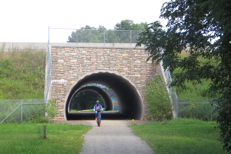
County: Tolland
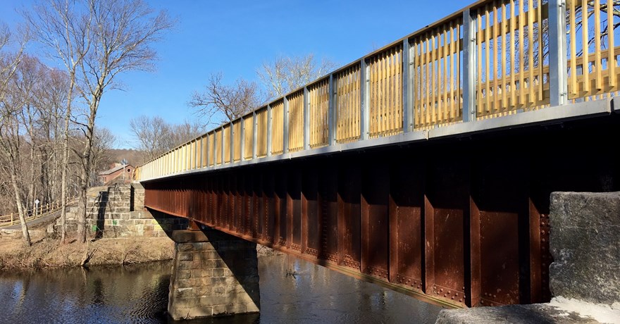
What better way to explore the historical surroundings of Rockville in northern Connecticut than from the Vernon Rails-to-Trails’ Rockville Spur? The 4.2-mile crushed-stone trail peels off the Hop River State Park Trail in Vernon and heads toward the one-time booming textile manufacturing center of Rockville. The trail crosses the scenic Tankerhoosen River on a footbridge and continues through a wooded corridor to the National Register of Historic Places district in Rockville, featuring architecture reminiscent of the 1800s. Visitors can learn about the local textile and railroad history at the Vernon Rails-to-Trails trailhead in Vernon.
Farmington Canal Heritage Trail
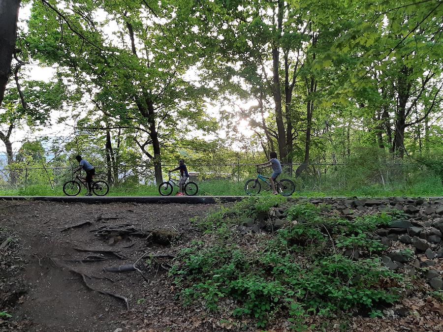
Counties: Hartford, New Haven
The evolution from canal to railroad to trail tells the history of the Farmington Canal Heritage Trail. The 56.5-mile trail begins near the urban campus of Yale University in New Haven, but takes on a more rural flavor as it heads north to the Massachusetts state line. The corridor follows a short-lived canal completed in 1835 that was replaced in 1847 by a railroad that ran until the 1980s (a small segment is still active in Plainville). The longest paved trail in the state, its asphalt surface and proximity to population centers makes it one of the most popular. The trail joins the Farmington River Trail in two places. The East Coast Greenway shares the trail from Simsbury to New Haven, minus a gap between Plainville and Southington. The 1,200-mile developing New England Rail-Trail Network incorporates the entire trail length.
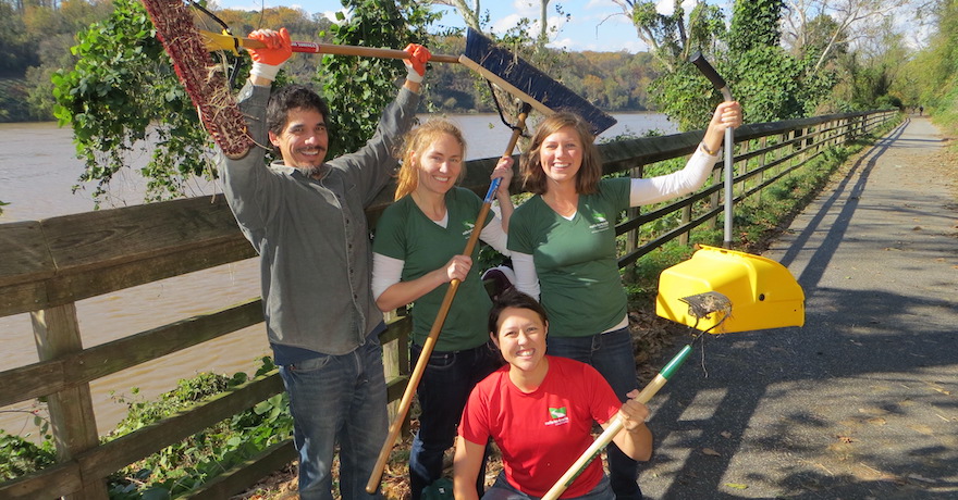
Farmington River Trail
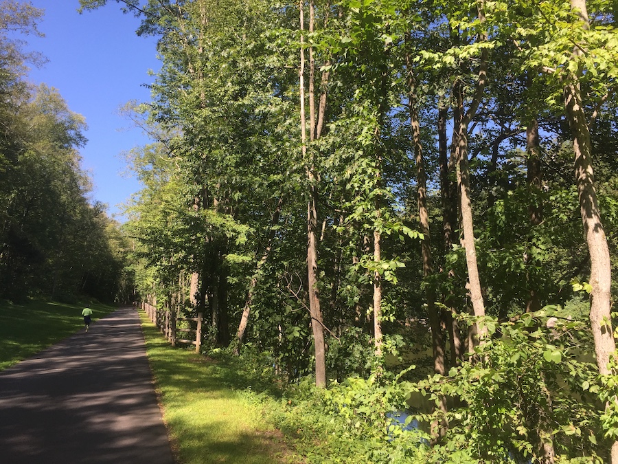
County: Hartford
The Farmington River Trail runs a C-shaped circuit through the forests and communities west of Hartford. It connects at both ends with the Farmington Canal Heritage Trail to create a frequently used 26-mile loop. The trail itself is listed at 16 miles, although some of that is on low-traffic roads between Canton and Simsbury, where you’ll also find less than a mile on dirt/crushed stone. The rest of the trail is paved. The scenic Farmington River flows along the southern half of the trail and is home to several historical factories and the Canton Historical Museum in Collinsville, a good half-way stop for refreshments or shopping.
Pequonnock River Trail
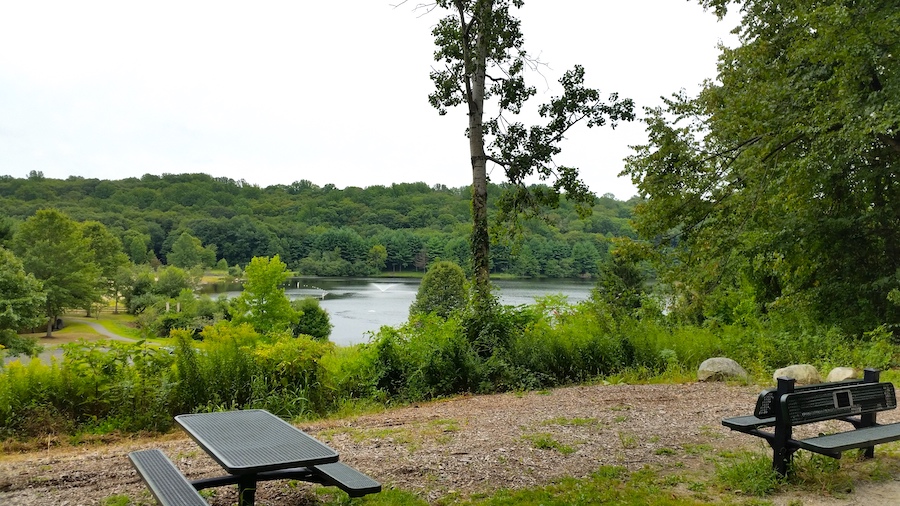
County: Fairfield
The historical seaport of Bridgeport on Long Island Sound anchors 14 miles of trail that runs north to the Colonial-era town of Newtown. The Pequonnock River Trail stitches together these locally developed trails that follow the former Housatonic Railroad. Riverside parkland is a big draw for trail users. They use the trail, some of which is paved, to visit such destinations as the Beardsley Park and Zoo in Bridgeport, the 5-mile-long Pequonnock River Wildlife Area in Trumbull, and the Centennial Watershed State Forest in Newtown. The segment in downtown Bridgeport is separate from the northern sections of trail.
Charter Oak Greenway
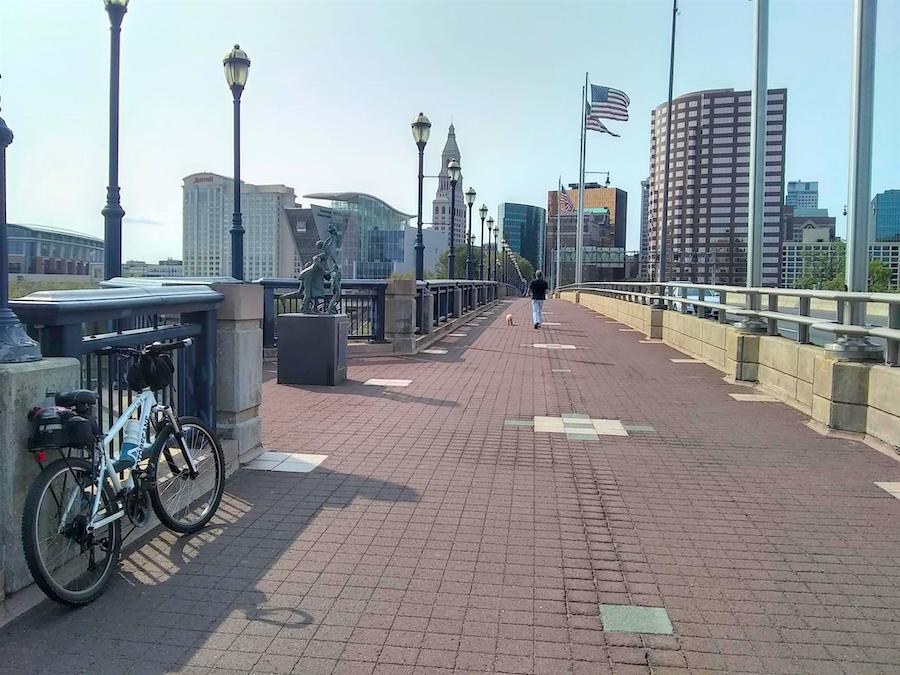
County: Hartford
Named for a park located midway on the Hop River, the Charter Oak Greenway heads some 16 paved miles from the State Capitol in downtown Hartford to woodsy suburbs east of the city. The trail passes through downtown green spaces as it enters the Riverfront Recapture sculpture park that spans the Connecticut River. A mile-long gap marks the jump to East Hartford, where the trail continues as a side path to interstate highways until it junctions with Hop River State Park Trail in Bolton. The trail skirts two college campuses and the Colonial-era town of Manchester along the route. It also has been designated as a segment of the East Coast Greenway.
Larkin State Park Trail
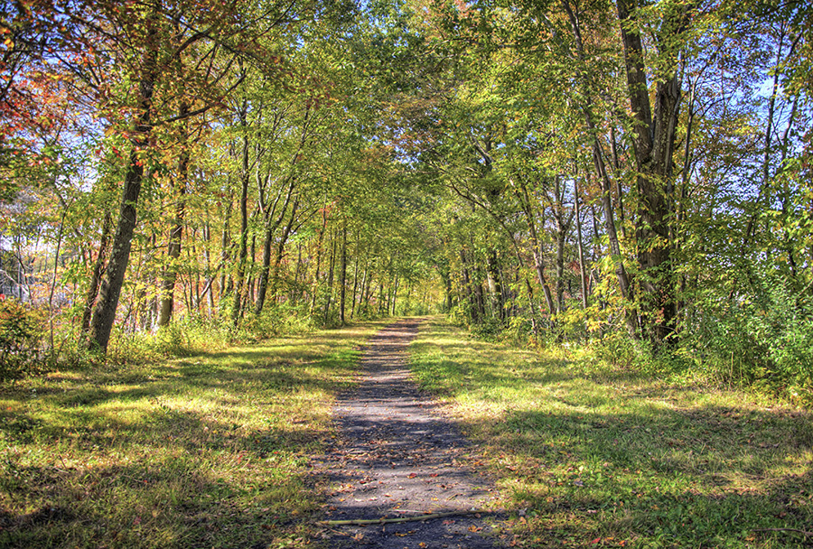
County: New Haven
The woodsy environs of the Larkin State Park Trail make this an ideal destination to escape the sun under a leafy canopy in the summer or enjoy up-close leaf peeping in the fall. At one time a link on the New York & New England Railroad, the 11-mile trail rolls between Southbury and Naugatuck just southwest of Waterbury. Founded as the Larkin State Bridle Trail geared toward equestrians, the pathway is widely enjoyed by people on horseback. Fat-tired bicycles are recommended for those on wheels, as the trail surface of crushed stone, gravel, cinder and dirt can get rough and soggy, especially after wet weather.
Middlebury Greenway
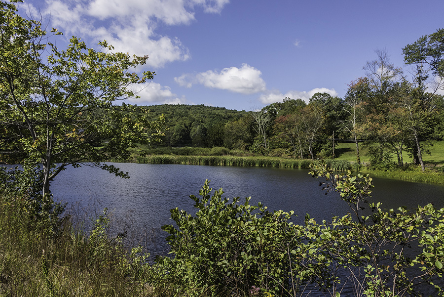
County: New Haven
Many people take the Middlebury Greenway just for amusement. The 4.5-mile paved trail that crosses the town of Middlebury touches on parks, historic districts, business centers and a century-old amusement park that still provides thrilling rides and a water park. The trail follows a former trolley line between Waterbury and Woodbury that delivered revelers to the Lake Quassapaug Amusement Park, later shortened to the Quassy Amusement Park. Today the trail runs alongside CT 64 and passes numerous entrances in the business district.
Windsor Locks Canal State Park Trail
County: Hartford
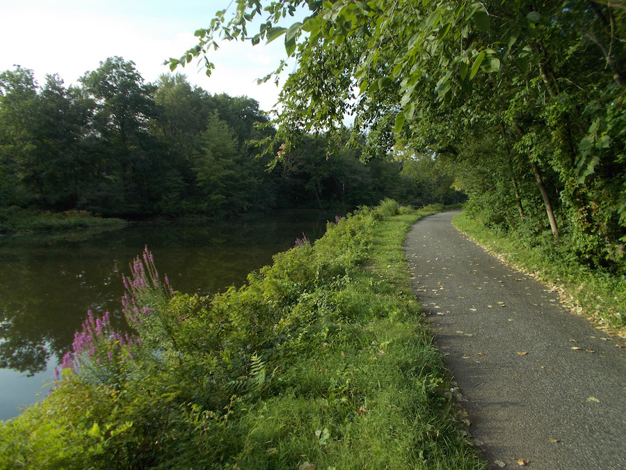
Fishermen can be a common sight on the 5.4-mile Windsor Locks Canal State Park Trail in the northwest corner of the state. It’s not surprising, as the trail occupies a narrow sliver of land between the Connecticut River and the historical Enfield Falls Canal. The asphalt trail itself replaces the towpath used by mules to tow barges along the canal in the mid-1800s, avoiding the river’s rapids. The wooded isle draws wildlife, including bald eagles. The state closes the trail from November through the spring so the bald eagles can nest in peace.
Special acknowledgments: Tom Sexton, Director of RTC’s Northeast Region
Rail-Trails: Southern New England Guidebook
Want to experience one of these or some of the other great trail destinations in Connecticut, Massachusetts and Rhode Island? You’ll find maps, helpful details and beautiful photos of 52 multiuse trails across the region in our Rail-Trails: Southern New England Guidebook.
When you subscribe to Rails to Trails magazine, you’ll have access to many other features like this one. Our magazine is a premium of Rails to Trails membership. Join today to start receiving the magazine!

Donate
Everyone deserves access to safe ways to walk, bike, and be active outdoors.
