Top 10 Trails in Wisconsin
With more than 101 rail-trails spanning nearly 2,000 miles, 25,000 miles of snowmobiling routes and a national scenic trail that traverses 1,000 miles of glaciated terrain, Wisconsin is clearly a place where the outdoors reign supreme—perhaps as well regarded as the state’s cheese and beer industries? (But you’ll certainly find an abundance of both along Wisconsin’s extensive trail networks!)
Here are just 10 of our favorite trails in Wisconsin—encapsulating some of the best sites and experiences Wisconsin has to offer.
Note: Many of the trails below are managed by the Wisconsin Department of Natural Resources (DNR), which requires a state trail pass for people 16 and over who are bicycling, cross-country skiing, horseback riding, off-highway motorcycling or inline skating. Snowmobilers and ATV riders must display a separate ATV trail pass or snowmobile trail pass. For more information, go to the Wisconsin DNR website.
Elroy-Sparta State Trail
Counties: Juneau, Monroe
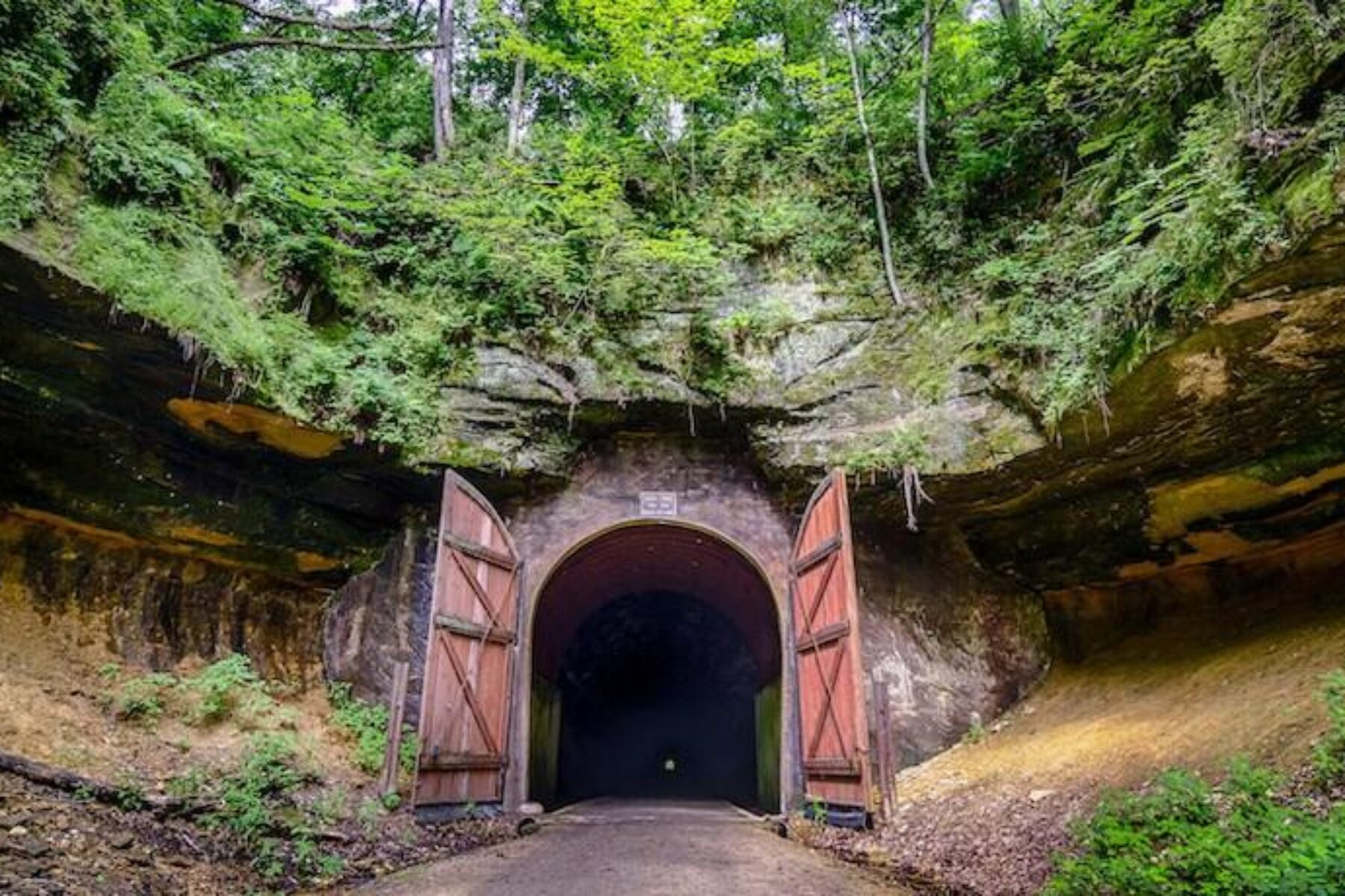
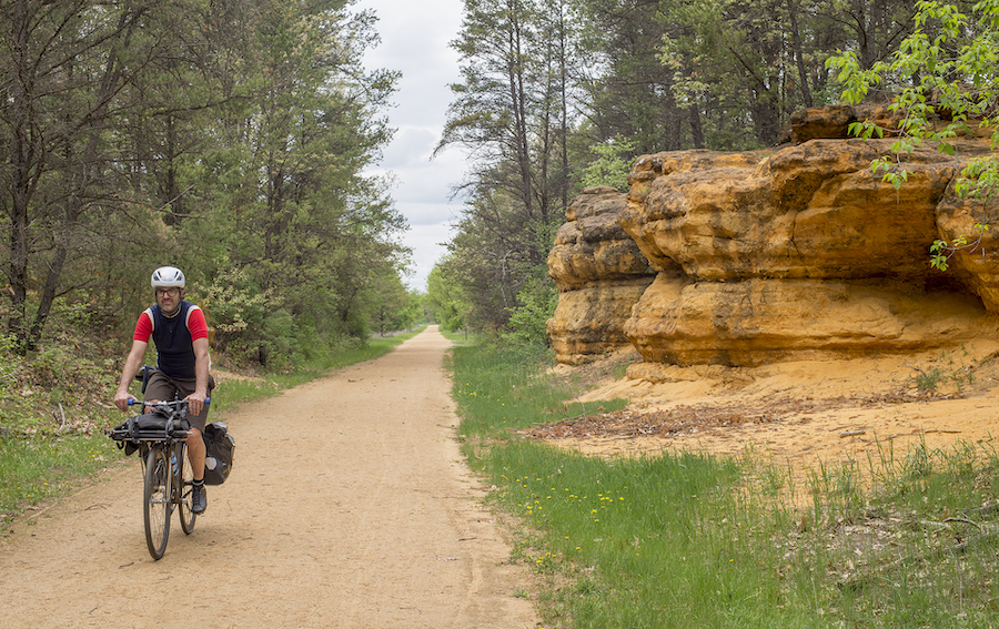
Created in the 1960s by the state of Wisconsin, the nearly 34-mile Elroy-Sparta State Trail was one of the earliest major rail-trail projects in the United States. Today, it stands as an iconic rail-trail showcase of America’s rural heartland, connecting five communities and featuring three famous tunnels—two at 1,600 feet and the other stretching 3,800 feet—which serve as a major draw (in each case, you’ll climb a grade followed by a downhill run to the town on the other side). There are rest areas, restrooms, drinking fountains, camping areas and snack concessions at the endpoint towns—and in between at Norwalk, Wilton and Kendall. Further connections can be made via the 400 State Trail and Omaha Trail in Elroy, and the La Crosse River State Trail in Sparta, the “Bicycling Capital of America.”
Oak Leaf Trail
County: Milwaukee
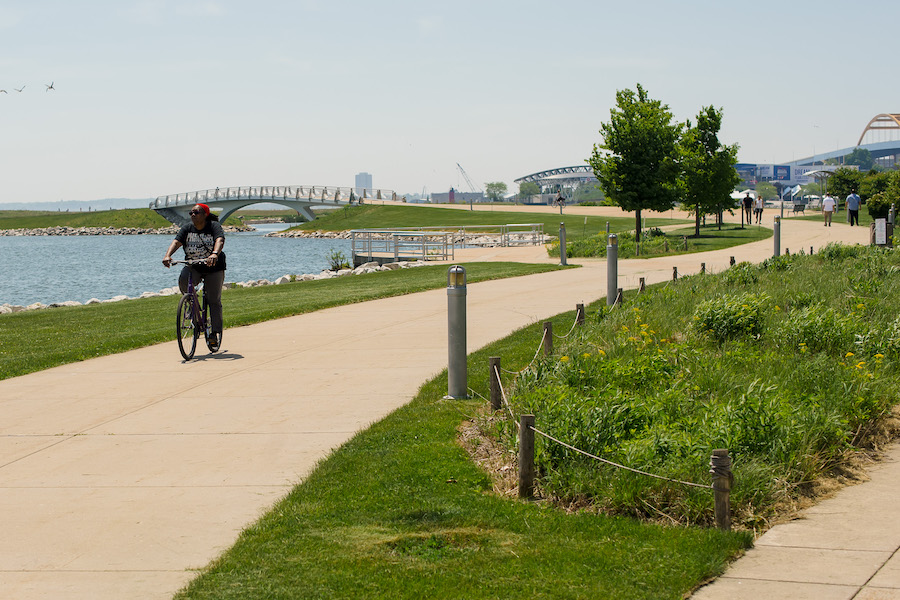
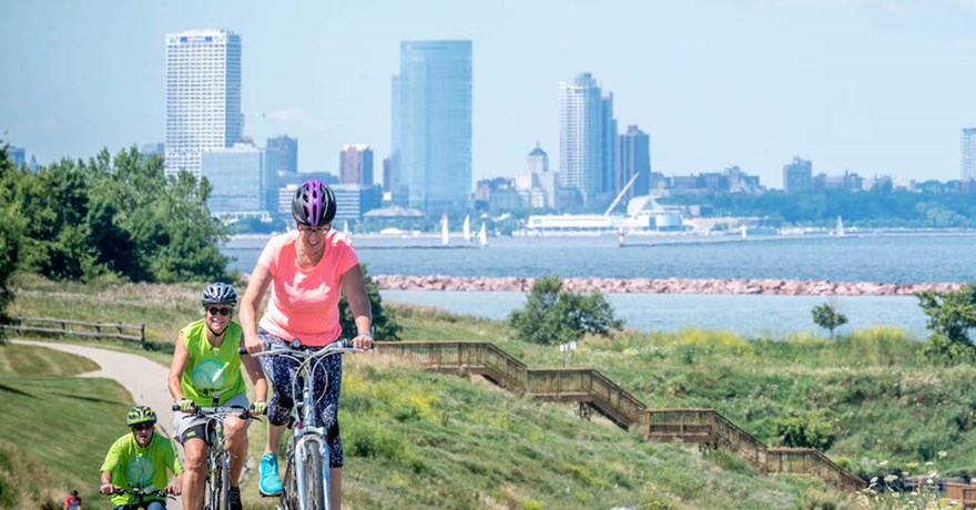
Covering a massive 125+ miles that encircle Milwaukee in a messy figure 8, the Oak Leaf Trail is the crown jewel of Milwaukee County’s “emerald necklace” park and trail system, offering access to open space, picnic areas and signature sites in and around the region. Hundreds of thousands of people use the trail each year to access the beaches and waterside views of Lake Michigan (nearly a quarter of the trail’s length spans the shoreline), and to visit signature spots like the Urban Ecology Center at Riverside Park, the Milwaukee Art Museum and Ghost Train—an art installation in the Village of Shorewood that twice nightly turns a trail bridge into a Twin Cities 400 locomotive of yesteryear.
Recently, new color-coded signs made possible by the Chris Kegel Foundation were installed to support easy commuting and wayfinding throughout the route, which is a key component of the 700-mile developing Route of the Badger.
Fox River State Trail
Counties: Brown, Calumet
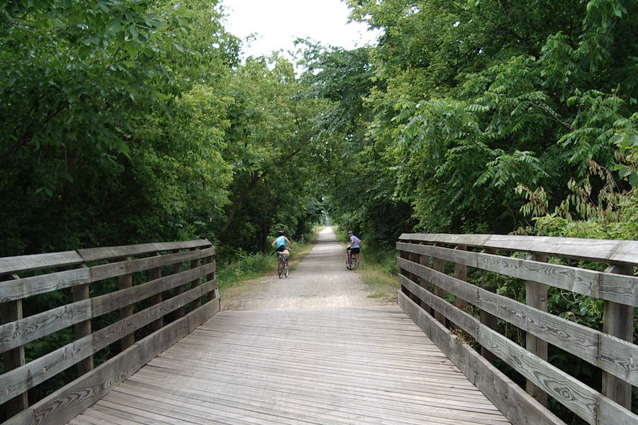
The 25-mile Fox River State Trail is packed with the rich history and beauty of its northeastern Wisconsin location, from the hometown of NFL’s Green Bay Packers to the farming communities of the south. The route—first traveled by Native Americans and then French explorers/traders—flanks the Fox River for about 5 miles before continuing south through countryside and several towns to its end at Hilbert. Heading south from Green Bay, you’ll pass an urban section with restaurants, pubs and a bike shop. A vibrant sight-seeing complex in De Pere, near the Claude Allouez Bridge, includes a dam, pier, recreational Riverwalk and the 21-acre Voyageur Park—and history buffs might also “get a kick” out of the historic Broadway District (with its fun main street vibe) or Heritage Hill State Historical Park (open seasonally). In Forest Junction, a connection to the Friendship State Trail takes you 4 miles to Brillion.
Ozaukee Interurban Trail
County: Ozaukee
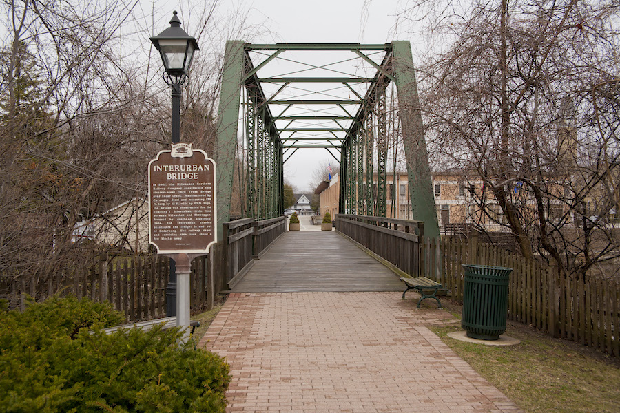
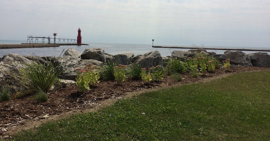
The Ozaukee Interurban Trail offers a wide and diverse range of sites, experiences and sounds along its 30-mile route between Cedar Grove and Mequon. Birdwatchers will want to start the trail north at the Cedar Grove Waterfowl Production Area, a wetland habitat for sandhill cranes, green herons and other bird species. Along the route, two tourist-friendly towns rich in Civil War History include Cedarburg, with its restored trestle, and Port Washington, where stands the town’s centerpiece, a 1930s Art Deco lighthouse.
Passing through Grafton, you might head to Paramount Plaza (a block from the trail), where a piano keyboard-style Walk of Fame honors Paramount Records, which existed there in the 1920s. Part of the Route of the Badger, the Ozaukee Interurban Trail connects with the Brown Deer Recreational Trail in the south and the Sheboygan Interurban Trail in the north.
Eisenbahn State Trail
Counties: Fond Du Lac, Washington
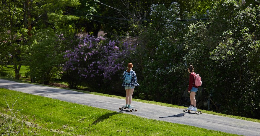
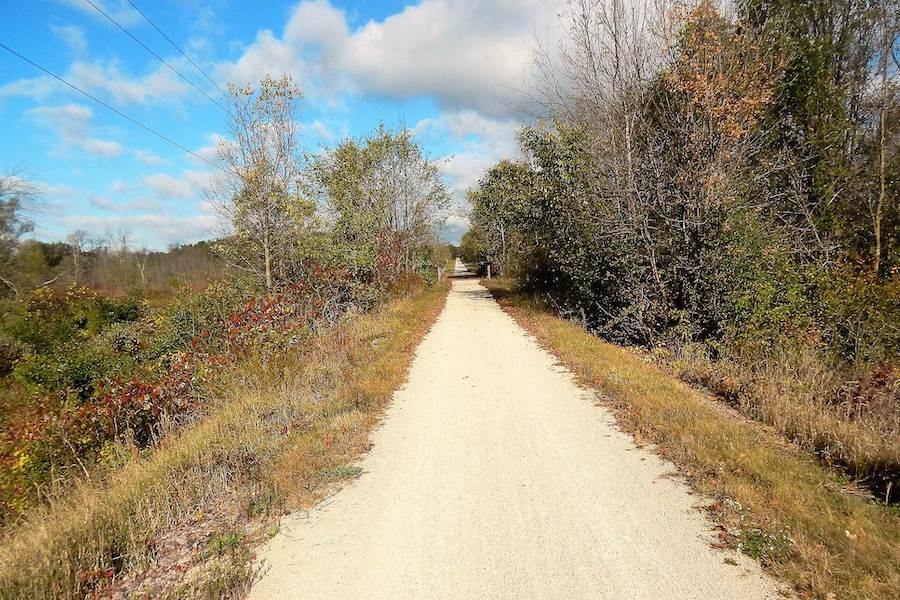
Stretching for 25 miles through southeast Wisconsin, from the historic city of West Bend to Eden, the Eisenbahn State Trail has something for everyone along its part-asphalt (5 miles) but mostly crushed-stone (20 miles) route to the west of Kettle Moraine State Forest. The name is a nod to the state’s German heritage, eisenbahn meaning “railway” or, more strictly, “iron road.” Highlights include community parks, bucolic farm views, a “main street” area in Campbellsport, and the 136-acre Lac Lawrann Conservancy in West Bend, which has recorded more than 200 bird species. Winter uses include snowmobiling and even potentially ice fishing at Barton Pond. In Kewaskum—named for a chief of the Potawatomi Tribe—you can pick up a connection with the 1,200-mile Ice Age Trail near County Road H. The Eisenbahn Trail also helps make up the developing Route of the Badger trail network. Note: Some areas of the trail don’t offer services, so plan ahead with supplies in all seasons.
Heart of Vilas County Bike Trail System
County: Vilas
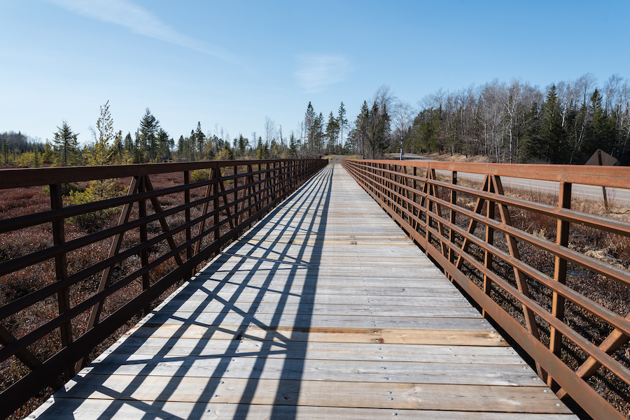
True to its name, the Heart of Vilas County Bike Trail System pulses with scenic beauty and local culture with a route that winds 52+ miles through a variety of backdrops, including the Northern Highland American Legion Forest and five communities. The National Recreation Trail is unique in that it was constructed along road rights-of-way and through public lands, taking on a rolling route with more twists and turns than one might find with a rail-trail. But amenities abound; along the way you’ll find picnic areas; swimming holes; several campgrounds (as well as other lodging options); restrooms; places to eat, drink and recharge; and plentiful parking. Stunning lake and river backdrops—and a connection to the WinMan mountain bike/hike/ski trails—offer further opportunities for respite, adventure and connecting to nature.
Capital City State Trail
County: Dane
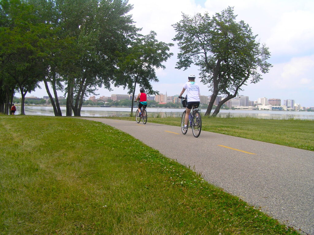
As TrailLink states, “The Capital City State Trail contributes to the impression that you’re never far from a trail in the Madison area.” The 17-mile paved trail meanders east from the suburb of Fitchburg and through downtown Madison to neighborhoods east. In Fitchburg, trail users can connect to the northbound 5.6-mile Southwest Commuter Path, the 40-mile Badger State Trail (to Illinois) and the developing Cannonball Path (connecting to the Military Ridge State Trail). At the 2,500-acre Capital Springs State Recreation Area, you might take the Lower Yahara River Trail east to catch a floating bridge over the lake!
Other highlights include the sights and sites of breathtaking Lake Monona; to the left, the Wingra Creek Bike Path takes trail users 2.2 miles to Henry Vilas Zoo, beaches at Vila Park and the University of Wisconsin-Madison Arboretum. Plus—don’t miss the Monona Terrace Community and Convention Center, designed by Frank Lloyd Wright. Future plans for the Capital City trail’s eastern terminus include a connection with the 52-mile Glacial Drumlin State Trail.

Ahnapee State Park Trail
Counties: Door, Kewaunee
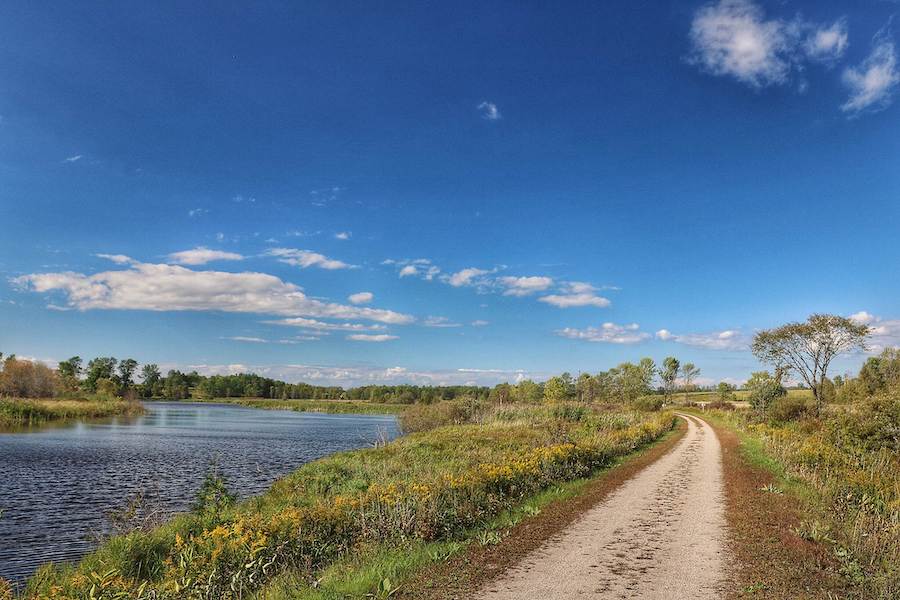
The Ahnapee State Park Trail in the northeast provides a scenic 50-mile zig-zag journey between Sturgeon Bay and Kewaunee, featuring water bodies along the Door Peninsula. It also overlaps two sections of the Ice Age Trail—at its southern end from Kewaunee to near Luxemburg, and in the north from Algoma to Sturgeon Bay.
Starting from Sturgeon Bay—you’ll traverse fields and forests, local parkland and a beachfront/boardwalk area in Algoma. Other highlights include sunflowers and apple orchards, a small zoo at Bruemmer Park outside of Kewaunee, marinas, and an old train depot with a clock tower at trail’s end (you’ll also find shops and restaurants) that is now a public pavilion. Friendly for walkers, bicyclists, equestrians, horse-drawn carriages, cross-country skiers and snowmobilers, the trail also interconnects with 370 miles of snowmobile trails in Kewaunee and Door counties.
Tuscobia State Trail
Counties: Barron, Price, Sawyer, Washburn
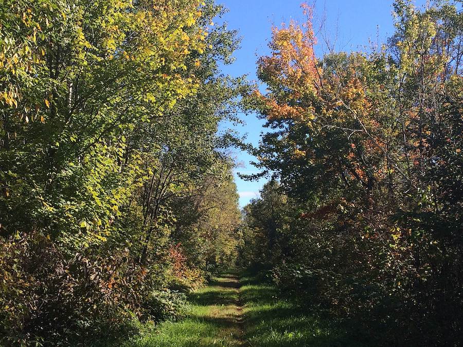
From Rice Lake to Park Falls, the Tuscobia State Trail travels 74 miles through the Flambeau State Forest and Chequamegon National Forest in northern Wisconsin. The trail has a nearly level grade that sees users of all kinds, including hikers, mountain bikers and snowmobilers (ATV use is also permitted) there to enjoy the rugged Blue Hills wilderness or stop by the quaint shops in the small villages along the route. The western tip—from the community of Tuscobia, just north of Rice Lake, to the Village of Birchwood—also overlaps with the 1,200-mile Ice Age Trail.
Why we love this trail: In the winter, the trail is host to the 150-mile Tuscobia Winter Ultra trail run, bike and ski event! And the trail has a pretty cool Wisconsin history—read about local cheese factory operator Hulda Hilfiker, the trail’s visionary.
Ice Age National Scenic Trail
Counties: 30 of Wisconsin’s 72 counties; see website for details.
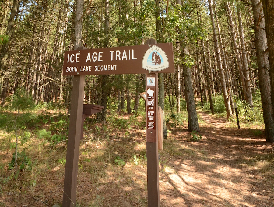
We couldn’t create a list of the best trails in Wisconsin and leave this one off the list. One of only 11 National Scenic Trails, the 1,200-mile Ice Age National Scenic Trail (located entirely in Wisconsin) features some of the state’s most remarkable landscapes, sculpted by glacial ice that dominated the landscape more than 12,000 years ago. Managed by the National Park Service, the Wisconsin Department of Natural Resources and the Ice Age Trail Alliance, the trail sees some 1 million trail users per year who come to hike, snowshoe, backpack, cross-country ski (some parts) and enjoy the many diverse natural areas; national, state and local parks; and communities along the route between St. Croix Falls in Polk County, and Sturgeon Bay, in Door County. The trail also connects with many other rail-trails and state trails along the way.
Honorable Mention
Beerline Trail
County: Milwaukee
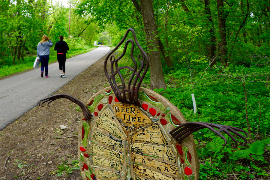
The 3.7-mile Beerline Trail cuts a northwesterly path across several of Milwaukee’s neighborhoods, paying homage to two industries that put the city on the map in the 1800s: beer and trains. Even as the trail honors Milwaukee’s place in the annals of beer history (think Schlitz, Blatz and “LaVerne & Shirley”), its route is a hotbed for new micro-brews, cool pubs and neighborhood hangouts—with direct connections to the popular Milwaukee Riverwalk. Vivid murals—just one of a number of public-art projects along the trail—all lend to the urban feeling of the Beerline.
Special acknowledgments: Willie Karidis, Route of the Badger project manager; David Schlabowske; Cindy Barks
When you subscribe to Rails to Trails magazine, you’ll have access to many other features like this one. Our magazine is a premium of Rails to Trails membership. Join today to start receiving the magazine!

Donate
Everyone deserves access to safe ways to walk, bike, and be active outdoors.
