Top 10 Trails in Arizona
From the vast chasm of the Grand Canyon to the cactus/tumbleweed landscape of the Sonoran Desert, Arizona’s trails are big on both views and culture. In fact, if its iconic scenes of the American West you’re after, the Grand Canyon State’s trails are among the best places to find them.
Along with the classic desert and canyon terrain that Arizona is famous for, the top trails take in canal-side settings through metropolitan areas and railroad routes that once served rural communities. Here are 10 of our favorite trails for savoring the vistas and soaking up the history.
Grand Canyon Greenway Trail
County: Coconino
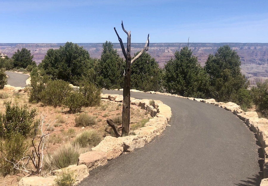
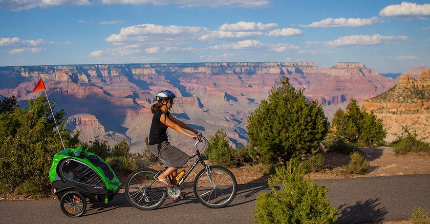
For accessible views of a bona fide natural wonder of the world, the Grand Canyon Greenway Trail is unparalleled. The 13-mile trail closely follows the edge of the South Rim of the Grand Canyon, providing access to the national park’s popular viewpoints, as well as hidden nooks and crannies along the way. Famous sites like the Bright Angel Trail, the South Kaibab Trail, the Inner Canyon and Mather Point are front and center along the greenway trail system. The route is mostly paved, and some sections are wheelchair accessible. One of the most popular activities on the South Rim is to rent a bike at Bright Angel Bicycles and ride the Greenway Trail.
Another advantage of the canyon-side trail: While the steep, rugged trails that head below the rim into the Grand Canyon are considered extremely strenuous, the Grand Canyon Greenway Trail is flat with some gradual inclines and is rated as easy.
Prescott Peavine National Recreational Trail and Iron King Trail
County: Yavapai
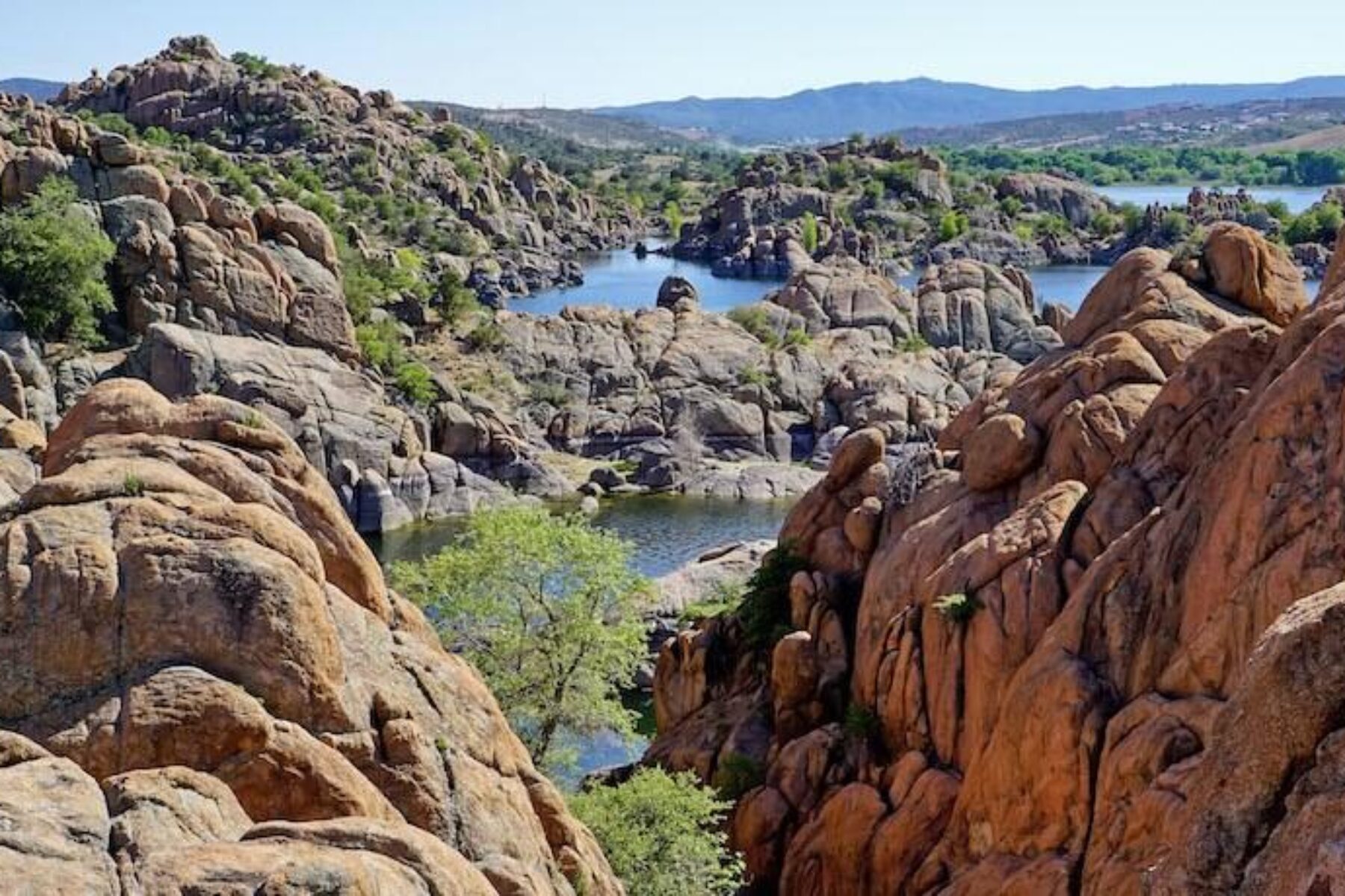
As well as being flat-out gorgeous with the blue waters of Watson Lake on one side and the finger-like granite formations of the Point of Rocks on the other, the Prescott Peavine National Recreation Trail in Prescott also comes with its share of Wild West history. Legend has it that robbers once crouched in the granite rocks, waiting for trains to arrive on the old Santa Fe Prescott & Phoenix route. In those days more than 100 years ago, the railroad route was a beautiful but dangerous spot.
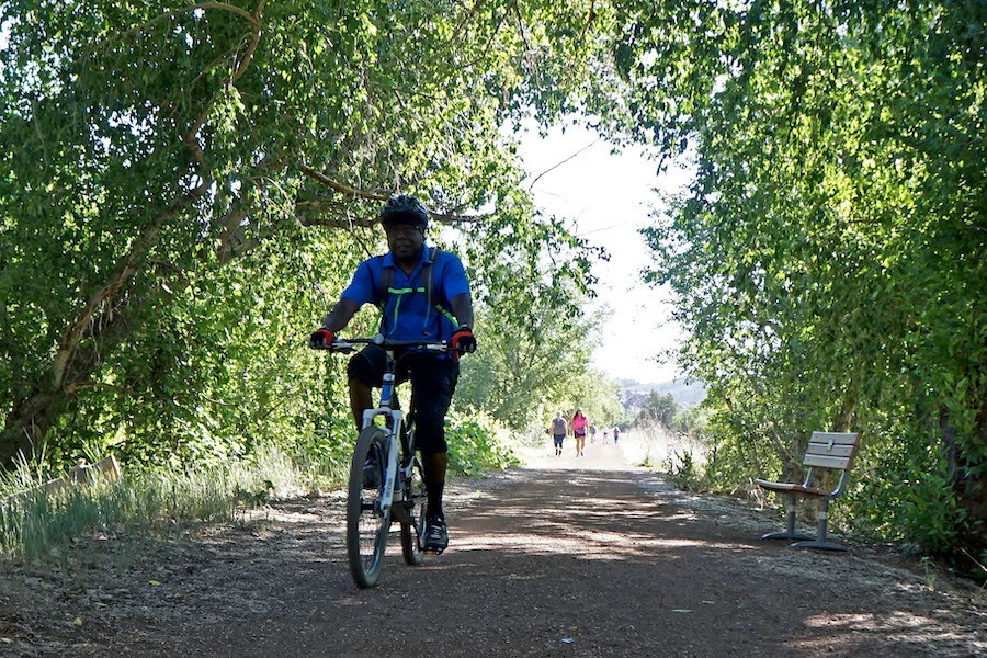
Today, the 6-mile Prescott Peavine Trail and adjoining 4.1-mile Iron King Trail in Prescott Valley are known to be simply lovely. The flat, wide, crushed-stone surfaces attract a steady stream of cyclists, walkers and joggers. The two trails were inducted into the Rail-Trail Hall of Fame in 2010.
While the Peavine is rated as easy, more challenging options are available all along the rail-trail route. Adventurous hikers and mountain bikes can take to single-track trails that wind through and over the massive slabs of rock in the area known as the Granite Dells.
Indian Bend Wash Path
County: Maricopa
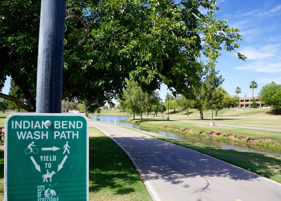
Providing a green, shady respite from the nearby sun-drenched Phoenix canal paths, the Indian Bend Wash Path runs for 11.8 miles through the neighborhoods and parks of Scottsdale. The route, which links Scottsdale with its neighboring Valley of the Sun community of Tempe, is known as one of the top urban green spaces in Arizona. The greenbelt features more than two dozen grade-separated crossings, allowing users to avoid major cross traffic.
Along the way, the trail passes through a series of neighborhood parks, including the pretty Eldorado Park, a shady oasis featuring a grove of mesquite trees bordering the trail and a little creek that runs between the park’s lakes. Near the intersection with the Red Mountain Freeway, an underpass heads to the popular Papago Park, where a network of trails leads to attractions like the Hole-in-the-Rock sandstone formation, the Desert Botanical Garden and the Phoenix Zoo.
Chuck Huckelberry Loop Trail
County: Pima
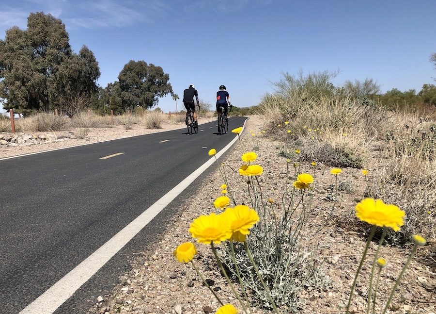
Tucsonans are understandably proud of the Chuck Huckelberry Loop Trail, a 136-mile route that circles Arizona’s second-largest city. Not only do tourists gravitate to the loop’s rugged desert terrain, but locals rely on the paved shared-use trail for convenient car-free transportation as well.
With its views that shift from urban landscapes to rugged mountain ranges to tree-lined dry washes, the loop lives up to its designation as one of the most-loved bike trails in the country. It connects popular Tucson trail sections such as the Cañada del Oro River Park Trail and Rillito River Park Trail with the Julian Wash Greenway and Harrison Greenway as it passes through unincorporated Pima County and the cities of Tucson, Marana, Oro Valley and South Tucson.
The Loop is not the only notable desert attraction in the Tucson area; other destinations worth checking out include Saguaro National Park and Catalina State Park, both located within minutes from the loop trail.
New River Trail
County: Maricopa
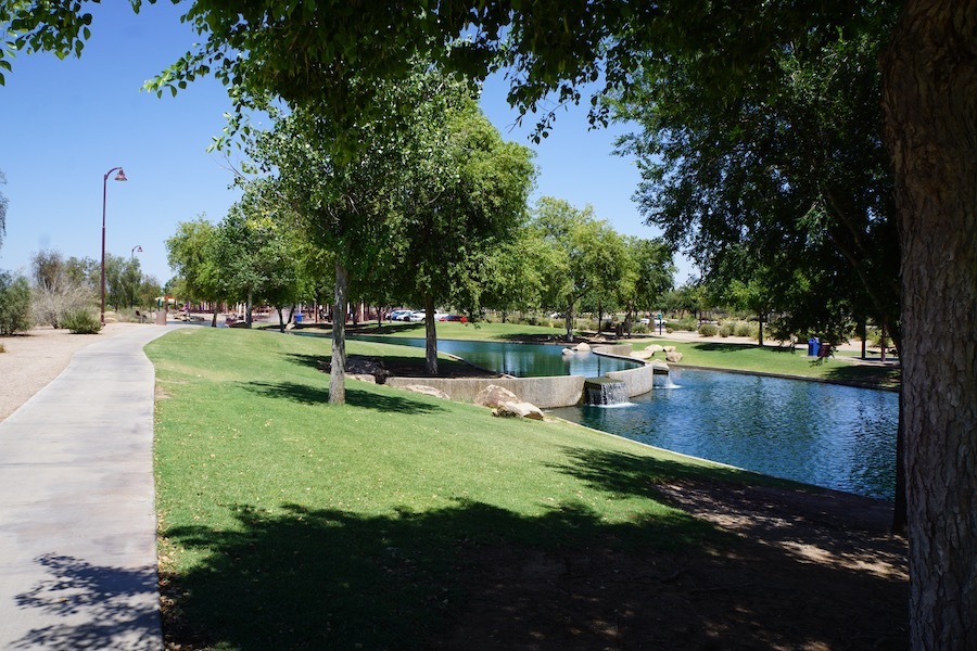
With professional sports opportunities at the southern end and urban parks and neighborhoods toward the north, the New River Trail offers a convenient route through the busy Phoenix-area suburbs of Glendale and Peoria. Roughly following the seasonal wash of the same name, the 16.5-mile New River Trail starts in the south near Glendale’s massive Westgate Entertainment District, with close access to the State Farm Stadium where the NFL Arizona Cardinals play, and the Desert Diamond Arena, home of the NHL’s Arizona Coyotes.
Heading north, the trail passes by the pretty Rio Vista Community Park, a gathering place popular with families for its urban lake, splash pad and ballfields. Trail users can also access both the 8.2-mile Skunk Creek Trail and the 69.7-mile Arizona Canal Path.
Karen Cooper Trail (Rio North Trail)
County: Coconino
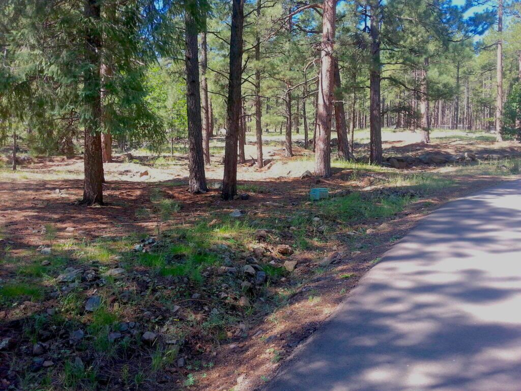
Although it is relatively short at 3.6 miles, the Karen Cooper Trail packs in some of the best features of the pine-scented mountain town of Flagstaff. The trail, formerly known as the Rio North Trail, starts at the popular Wheeler Park in historic downtown Flagstaff and passes through stands of ponderosa pine trees before heading north along the route of the Rio de Flag. It follows the river’s steep rock-walled canyon near the northern end.
At times, the trail opens up to magnificent views of the Flagstaff’s signature mountains, the San Francisco Peaks. While the trail consists of mostly an easy grade, it features fairly high elevation throughout, with a low point of 6,903 feet and a high point of 7,133 feet. Within a half-hour or so from the trail to the northeast lies a fascinating piece of ancient indigenous history at the Wupatki National Monument. At the end of the trail, you can connect to the 2.6-mile Fort Valley Trail for a return to Flagstaff.
Lake Havasu Multi-Use Trail
County: Mohave
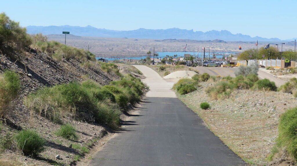
Bisecting the area known as Arizona’s West Coast is the Lake Havasu City Multi-Use Trail, an 8.5-mile paved route that skirts the shores of the lake that was formed by the damming of the Colorado River. Although the lake is lovely, the real star of the trail is arguably the view of the 1830s-era London Bridge, which was shipped over from the banks of London’s River Thames to the western-Arizona town of Lake Havasu City in the 1960s and rebuilt over a channel of the Colorado River.
Today, the London Bridge spans Lake Havasu City’s Bridgewater Channel and is visible at about the mid-point of the trail route. The north-south trail runs parallel to Highway 95 and offers a convenient and entertaining way to take in the sights of Lake Havasu. Along with the lakeside trail, there are a number of other scenic spots nearby for enjoying the Colorado River Corridor, including Lake Havasu State Park, Buckskin Mountain State Park, Cattail Cove State Park and River Island State Park.
Rio Salado Pathway
County: Maricopa
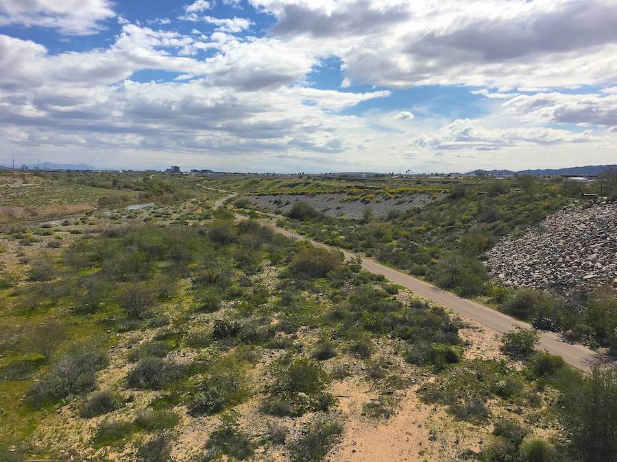
Just steps from the shores of the Tempe Town Lake lies the Rio Salado Pathway, a wide concrete trail that runs on both sides of the sparkling urban lake. The lake is a center for all sorts of recreation, from kayaking to paddle boarding to pedaled surreys. Cyclists, walkers and joggers flock to the 10.5-mile route, also known as the Tempe Town Lake Trail, for its smooth surfaces, fun atmosphere and easy access.
Along the route, trail users will see the striking Tempe Center for the Arts, the soaring Elmore Pedestrian Bridge and numerous high-rise buildings. Tempe’s bustling Mill Avenue is just a short ride or walk away from the trail, as is the Arizona State University campus. By staying on the Rio Salado Trail to the northeast, trail users can connect up with the Indian Bend Wash Path, the north-south route that heads toward Scottsdale.
Queen Creek Wash Trail
County: Maricopa
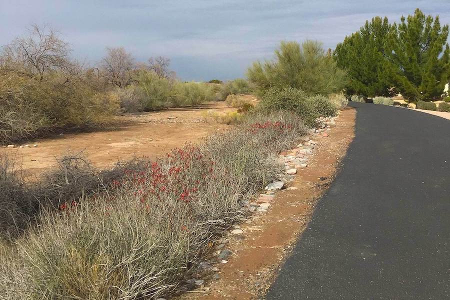
Located in the far southeastern corner of the sprawling Phoenix metro area, the Queen Creek Wash Trail offers a bit of the country not far from the city. The Town of Queen Creek was founded in 1989 on a history of agriculture, and the Queen Creek Wash Trail delivers on that background. The trail passes by farmland, neighborhoods and wide-open spaces with views of nearby mountain ranges on its 5.6-mile route along the Queen Creek Wash.
Ballfields, playgrounds, picnic spots and trail access are available at the Desert Mountain Park on the trail’s southeastern end. For a walk back in time, the Casa Grande Ruins National Monument is just a half-hour drive southeast of Queen Creek.
New Mexico & Arizona Railroad Trail
County: Santa Cruz
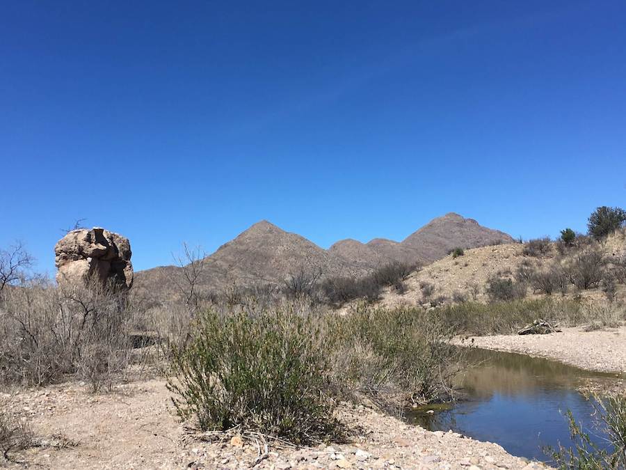
Considered a rustic trail, the New Mexico & Arizona Railroad Trail follows the 1880s-era railroad route that once paralleled Sonoita Creek from Patagonia to Rio Rico in the far southern reaches of Arizona. Railroad artifacts like culverts, spikes and rails still remain. In its day, the railroad served mines in the area and passed through rugged terrain near the Arizona/Mexico border.
Today, the rail-trail is considered fairly remote, and users are likely to spot wildlife. The trail is near Patagonia Lake State Park and Sonoita Creek State Park Natural Area, known to be a world-class birding area.
HONORABLE MENTION:
Santa Cruz River Park Trail
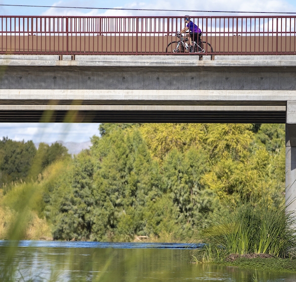
Making up about 41.8 miles of the Chuck Huckelberry Loop is the Santa Cruz River Park Trail, a north-south paved route through Tucson. The trail follows the mostly dry bed of the Santa Cruz River, passing through vintage neighborhoods, downtown Tucson, and suburban parks and ballfields. Along the way, bikers and walkers can stop for a taco or the region’s signature Sonoran hotdog at a number of Tucson’s famous Mexican-cuisine spots, many of which are located within a block or two from the trail.
TRAIL OF THE MONTH: Arizona’s Santa Cruz River Park Trail (April 2021)
When you subscribe to Rails to Trails magazine, you’ll have access to many other features like this one. Our magazine is a premium of Rails to Trails membership. Join today to start receiving the magazine!

Donate
Everyone deserves access to safe ways to walk, bike, and be active outdoors.
