Top 10 Trails in Rhode Island
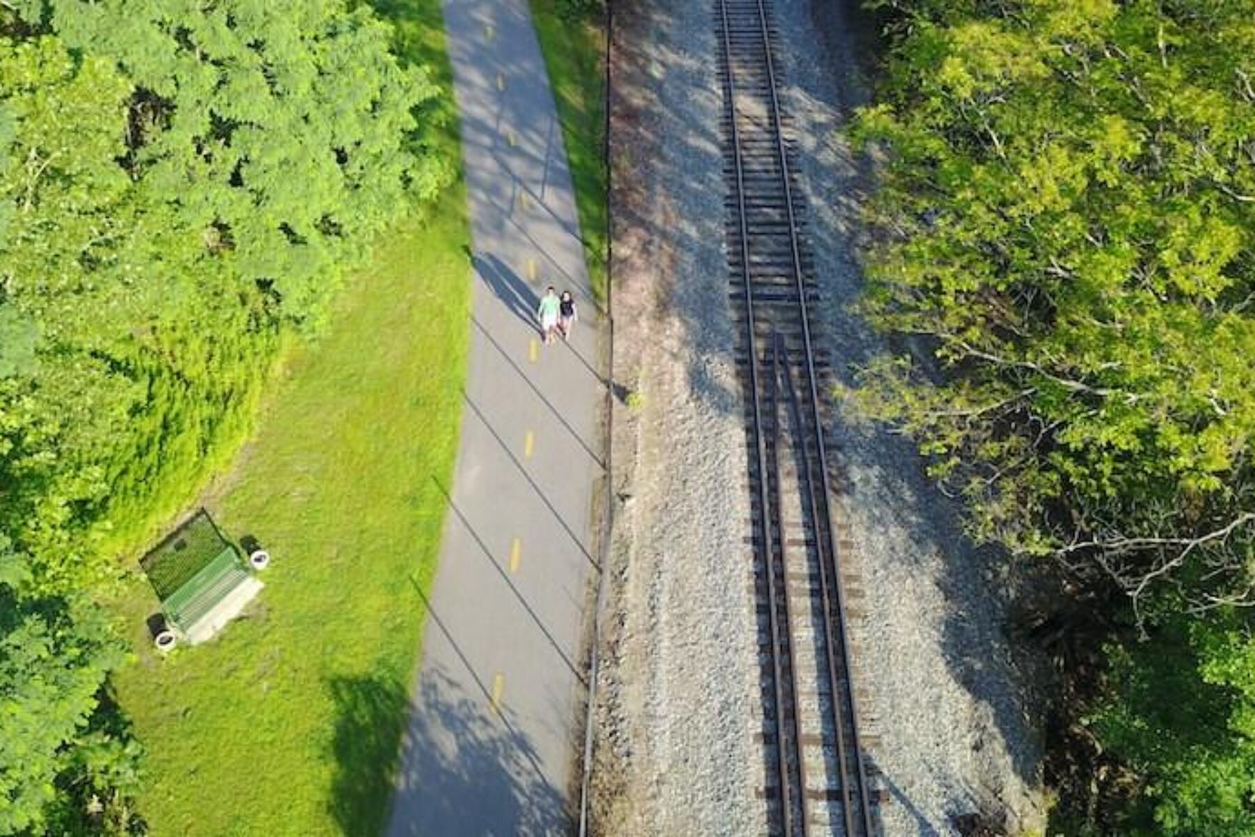
With nearly 80 miles of open rail-trail, trails in Rhode Island offer a delightfully eclectic mix of small-town charm and big city vibrancy, remote wooded ponds and wide ocean views, industrial heritage and backcountry beauty. Even better, our smallest state is part of two of the largest trail projects in the country: the East Coast Greenway, stretching more than 3,000 miles from Maine to Florida, and the burgeoning six-state New England Rail-Trail Network.
East Bay Bike Path
Counties: Bristol, Providence
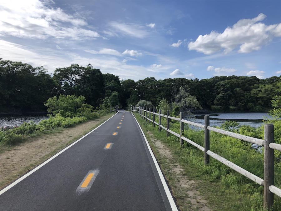
Featuring picturesque bay views, busy marinas and an abundance of coastal wildlife, the East Bay Bike Path, spanning just over 14 miles between Providence and Bristol, offers the quintessential New England experience. Along the way, travelers will have access to several parks and a fun side excursion to the Crescent Park Looff Carousel, an 1895 amusement ride listed on the National Register of Historic Places that features 62 carved figures and four chariots. Since its first few miles opened in 1987, the paved pathway has proven to be an immensely popular route for visitors and locals alike, earning Hall of Fame Rail-Trail status in 2009, and a designation as part of the East Coast Greenway.
Quonset Point Bike Path
County: Washington
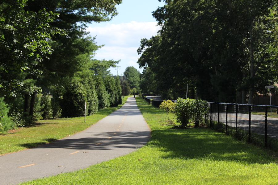
Trail beginnings don’t come much nicer than Calf Pasture Point Beach at the start of the Quonset Point Bike Path. Take time to drink in the views of Narragansett Bay and the long sweep of the beach before heading west down the paved pathway. The short-but-sweet trail offers a 2.5-mile route—largely buffered by trees and quiet residential neighborhoods—across North Kingstown on Rhode Island’s eastern coastline. Just off the southwestern end of the trail, a must-see stop for history buffs is the Seabee Museum and Memorial Park, which explores the area’s naval heritage. This section of trail also provides access to a small pocket of shops and fast-food restaurants.
Washington Secondary Bike Path
Counties: Kent, Providence
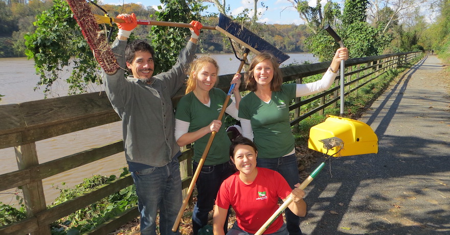
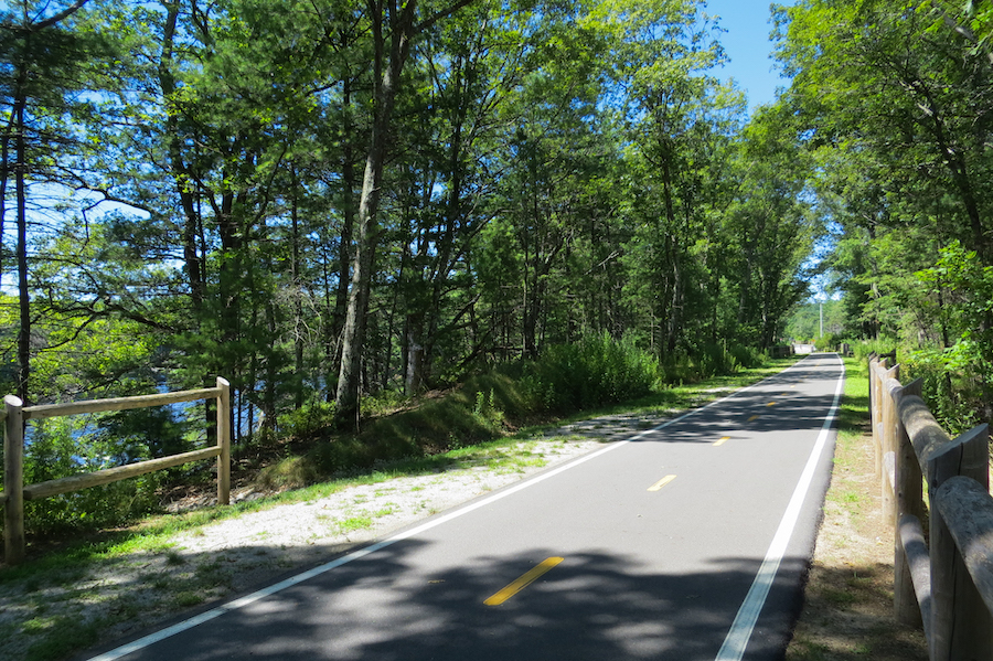
One of Rhode Island’s longest rail-trails, the Washington Secondary Bike Path is both a part of the New England Rail-Trail Network and a segment of the East Coast Greenway. The paved pathway spans just over 19 miles from Cranston (Providence’s southwestern neighbor) to Coventry—and locals will tell you that the farther west you go on the trail, the prettier it gets. As the trail makes its way toward Connecticut, travelers are in for an enchanting and well-shaded ride with fern-covered rock cuts and views of the Pawtuxet River. The eastern half of the trail is more urban in flavor, with easy access to residential and commercial areas. Hints of its railroad past can be seen in West Warwick, which boasts a bright red caboose, and in Coventry, where you’ll find a short section of preserved track.
Stillwater Scenic Walkway
County: Providence
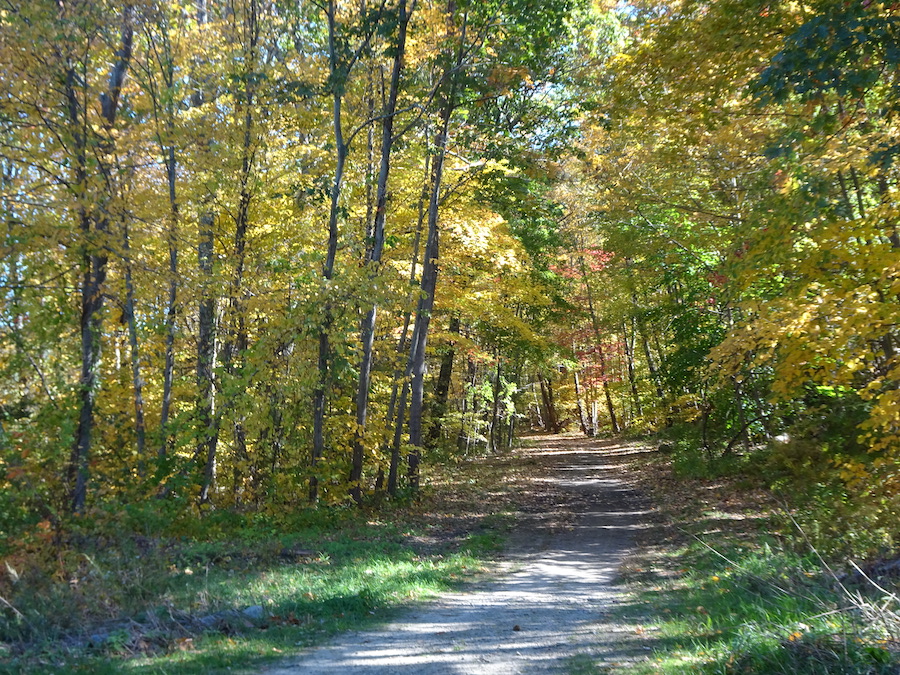
The Stillwater Scenic Walkway offers a milelong nature outing in Smithfield, a small town on the northwestern outskirts of Providence. The crushed-stone pathway dives into the trees at Capron Road and stays under leafy canopy for nearly its entire route to Farnum Pike, just a stone’s throw from Stillwater Reservoir. Along the way, there are tantalizing glimpses of Stillwater Pond, two dams and the remnants of an old mill. There are also opportunities to fish, and there is a good chance of seeing wildlife.
Blackstone River Greenway
Counties: Providence, Worcester
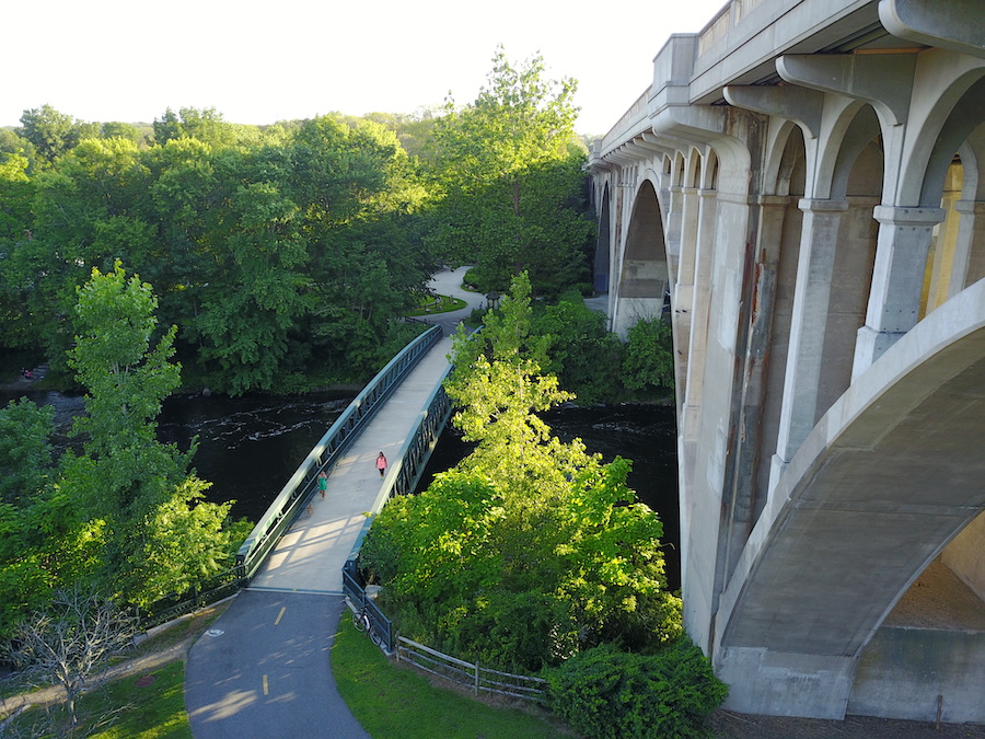
The Blackstone River Greenway (also known as the Blackstone River Bikeway) forms a major part of the East Coast Greenway through the state and is envisioned to become a 50-mile pathway along the riverfront from Worcester, Massachusetts, to Providence, Rhode Island. Today, just over 26 miles of pathway are open in three disconnected sections. Its two shorter northern segments can be found in Massachusetts, while its longest stretch, between Woonsocket and Providence, lies in Rhode Island. This 19.5-mile experience offers a glimpse into America’s industrial heritage with interpretative signage and passage by the Captain Wilbur Kelly House Museum and Old Slater Mill, which was recently acquired by the National Park Service.
William C. O’Neill Bike Path
County: Washington
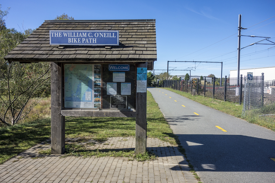
At just over 7 miles, the William C. O’Neill Bike Path, also known as the South County Bike Path, runs from Amtrak’s West Kingston Station, a 19th-century wood-frame depot, to Narragansett on Rhode Island’s southeast coast. Offering a lushly forested experience, the trail is not far from the Great Swamp Wildlife Management Area, a hotspot for birdwatching during spring and fall migrations, and Tefft Historical Park, where archaeological sites date from early Narragansett tribal occupation through Colonial settlements. Another trailside gem for outdoor enthusiasts is Tri-Pond Park with its eponymous tree-rimmed ponds, streams, hiking trail and nature center.
JAYCEE Arboretum and Senator Roch Riverwalk
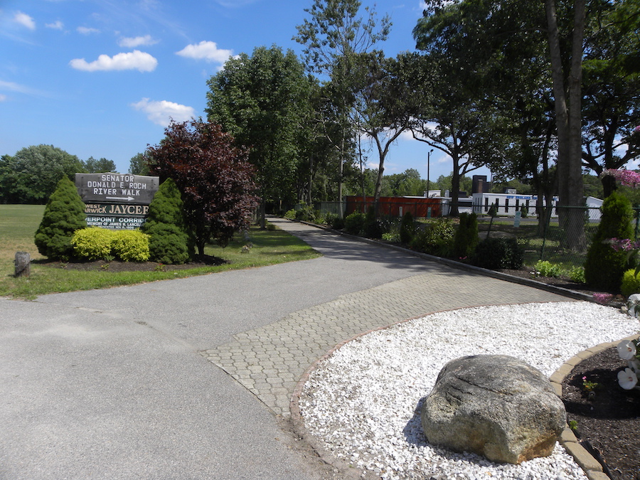
County: Kent
Nestled along a bend of the Pawtuxet River, a pathway called the JAYCEE Arboretum and Senator Roch Riverwalk offers a natural oasis in West Warwick that is well cared for by volunteers. Their planted flowers and shrubs complement the surroundings, and sightings of deer, rabbits and waterfowl add to the experience. Enveloped by trees, the 1.3-mile trail forms an arc around Riverpoint Park, which provides facilities for baseball, basketball, tennis and other sports. For a longer journey, visitors can connect with the Washington Secondary Bike Path to head northeast to Cranston or southwest to Coventry.
Ten Mile River Greenway
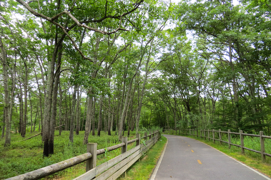
County: Providence
The Ten Mile River Greenway, named for the waterway it follows and not its length, runs 3 miles through a serene and green corridor connecting the City of East Providence and Pawtucket. The southern end of the paved pathway begins at the Kimberly Ann Rock Memorial Athletic Complex, a popular spot for local sporting events. Heading north, the route loosely parallels the state’s border with Massachusetts as it winds through leafy woodlands with an occasional pine tree. The adjacent river glimmers through the leaves, and at intermittent spots, travelers can hop off the trail and walk down to the waterfront to enjoy the view and look for swans gliding through the calm water. Dotting the path, interpretative signage details the area’s flora and fauna.
Fred Lippitt Woonasquatucket River Greenway
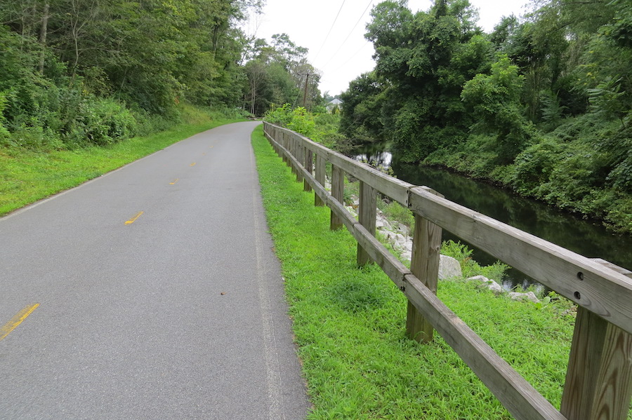
County: Providence
Winding nearly 7 miles from downtown Providence to the city’s western neighborhoods and the town of Johnston, the Fred Lippitt Woonasquatucket River Greenway proves its worth as a valuable crosstown connector. The pathway’s name honors a Rhode Island politician and philanthropist who championed the project in the early 1990s as a means to revitalize some of Providence’s poorest and most underserved neighborhoods. While the trail’s eastern half is a patchwork of on-road bike routes and off-road pathways, its western half, beginning at Riverside Park, consists entirely of paved trail. The park makes a great launching point with signage about the local wildlife—such as great blue herons, great white egrets and marsh wrens—and an observation platform with a river view. A tree-filled stream valley, swaths of wildflowers and colorful public art await those who continue down the path.
Burrillville Bike Path
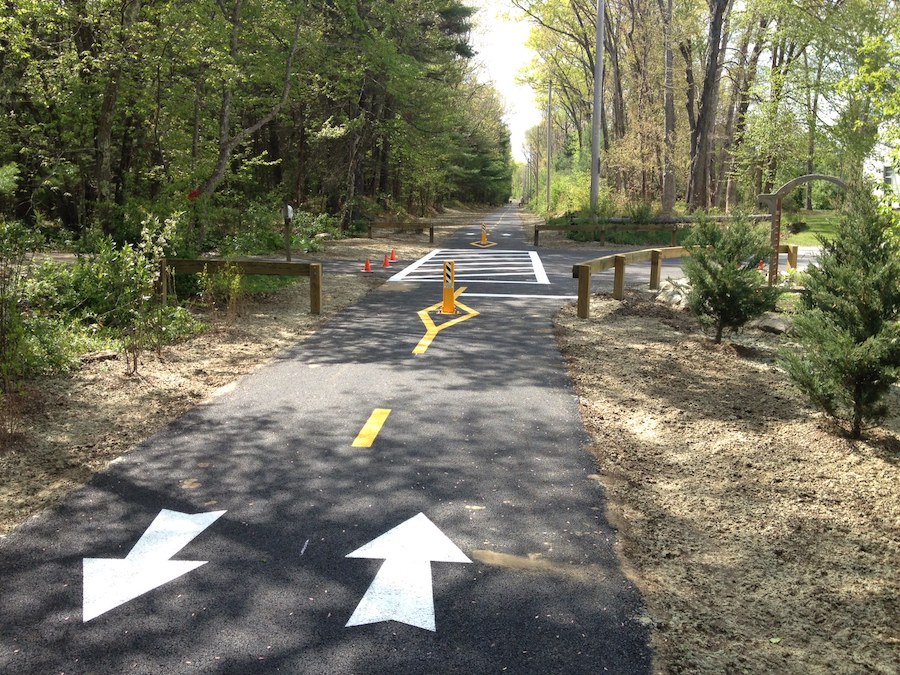
County: Providence
In the rural northwestern corner of Rhode Island, the Burrillville Bike Path offers an unpretentious gem tucked among the trees along a route that once belonged to the York, New Haven, and Hartford Railroad. Also known as the Pascoag Pedestrian Path, the paved 1.2-mile trail connects the villages of Pascoag and Harrisville within the town of Burrillville, offering a safe alternative to Route 107 for pedestrians and bicyclists. Highlights of the journey include wild berries in the summer, wetlands and a spur to pretty Duck Pond.
Special acknowledgments: Tom Sexton, RTC’s Northeast Regional Director
Rail-Trails: Southern New England Guidebook
Want to experience one of these or some of the other great trail destinations in Rhode Island, Massachusetts and Connecticut? You’ll find maps, helpful details and beautiful photos of 52 multiuse trails across the region in our Rail-Trails: Southern New England Guidebook.
When you subscribe to Rails to Trails magazine, you’ll have access to many other features like this one. Our magazine is a premium of Rails to Trails membership. Join today to start receiving the magazine!

Donate
Everyone deserves access to safe ways to walk, bike, and be active outdoors.
