Top 10 Trails in West Virginia
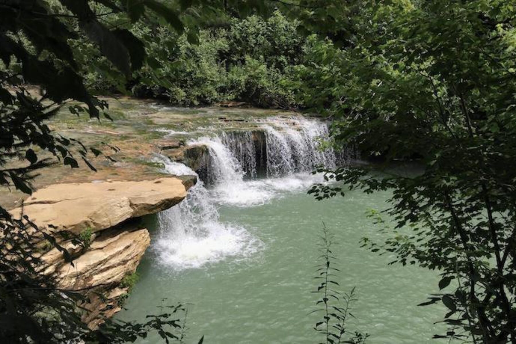
“Almost heaven, West Virginia.” So evocative were the opening words to John Denver’s song about the state that residents took them to heart, thereafter referring to their home state as almost heaven. With miles of trails to explore and plenty of recreational opportunities, from kayaking to rock climbing, West Virginia is indeed a little slice of heaven for outdoor enthusiasts. Here are 10 of our favorite ways to explore the state.
West Fork River Trail
Counties: Harrison, Marion
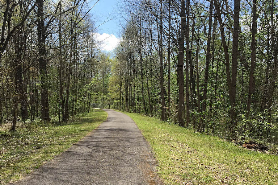
Hugging every bend of the river for which it’s named for the entirety of its 14 miles, the West Fork River Trail is a quintessential rail-trail: smooth, almost entirely flat, scenic and well removed from traffic. The trail’s official name of West Fork River Ralph S. Larue Trail also honors the director of the Marion County Parks and Recreation Commission who was responsible for the trail’s development. The route follows a former railway that even casual students of mid-1800s history (or fans of the boardgame Monopoly) will be familiar with—the famed B&O, or Baltimore & Ohio Railroad. Starting on the south side of Fairmont, the trail almost immediately crosses a converted railroad trestle and is paved for all but the final few miles approaching the town of Shinnston. The trail is part of the Industrial Heartland Trails Coalition network, a developing 1,500-mile system of multiuse trails spanning Pennsylvania, West Virginia, Ohio and New York.
Greenbrier River Trail
Counties: Greenbrier, Pocahontas
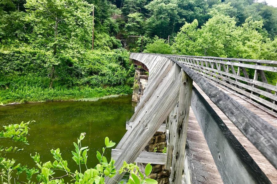
The longest rail-trail in the state, the Greenbrier River Trail is also one of its most popular, with something for day-trippers, backpackers, railway history buffs and anyone wanting to enjoy some lush West Virginian countryside. The 78 dirt-and-gravel miles of this Rail-Trail Hall of Fame inductee are best suited for mountain bikes and hybrids, and its remote location is ideal for those looking for a little escape from urbanity, though the trail does pass through a couple of small towns with amenities. The section north of Marlinton (the largest town along the trail) is recommended as a good taste of the experience and features a 230-foot curved bridge over the Greenbrier River. Note that the northern section of the trail lies within the National Radio Quiet Zone, in which cell phone service is not just spotty—but wholly nonexistent.
Blackwater Canyon Trail
County: Tucker
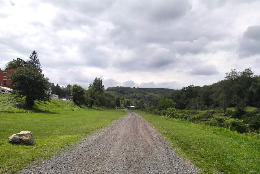
Waterfalls, solitude, gorgeous scenery and precarious drop-offs are the hallmarks of this 10.5-mile trail through the Monongahela National Forest in the Appalachian Mountains. The dirt and gravel surface of the Blackwater Canyon Trail is best suited to mountain bikes, and the steep grade means that you’ll have a bit of a workout ahead of you; in fact, when locomotives of the West Virginia Central & Pittsburgh Railway were hauling coal and timber along this route in the late 1800s, extra engines were used to help push trains up the slope. Remnants from this time period include a converted railroad trestle that now carries bike and pedestrian traffic, and coke ovens that once produced the refined fuel that powered the Industrial Revolution. The small town of Thomas toward the northern end of the trail offers limited lodging and dining options.
Brooklyn to Southside Junction
County: Fayette
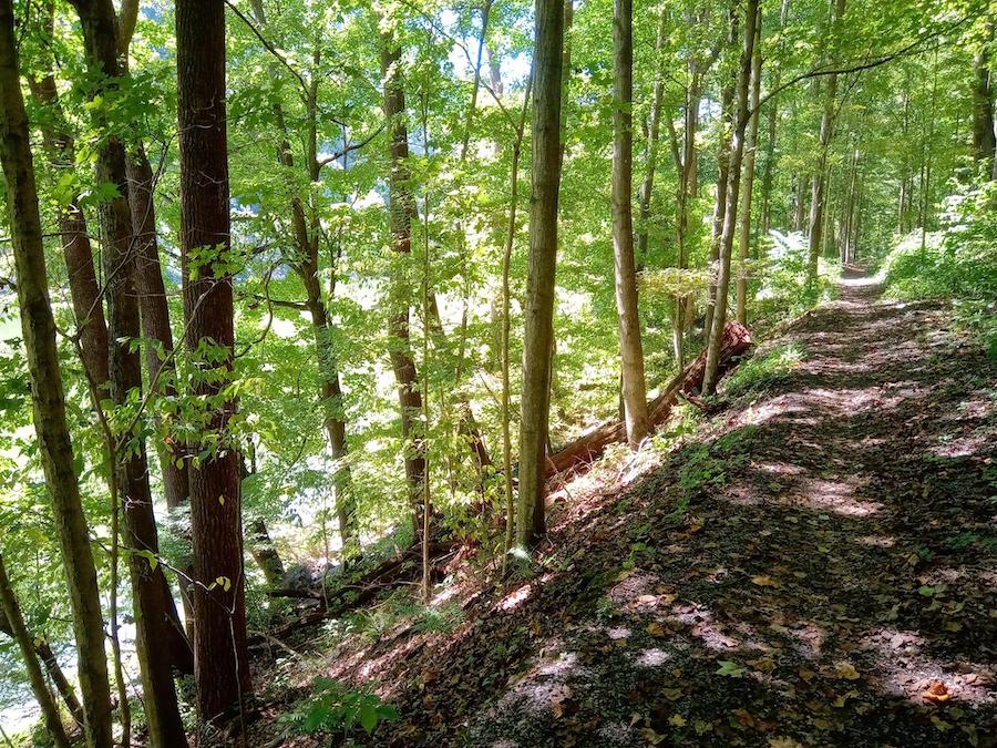
Found in the south-central part of the state, the Brooklyn to Southside Junction offers 6 somewhat intense miles that, between the unimproved surface and occasional exposed railroad ties that pay homage to the route’s railroading past, demand mountain bikes or hiking boots. Those willing to tackle the route are richly rewarded with an immersion in the natural beauty found alongside the New River, from which the trail never strays far. The gorge the river has cut through the Appalachians is the largest in that mountain range, and also home to the New River Gorge National Park and Preserve, our country’s newest park to hold that coveted national designation.
Allegheny Highlands Trail
Counties: Randolph, Tucker
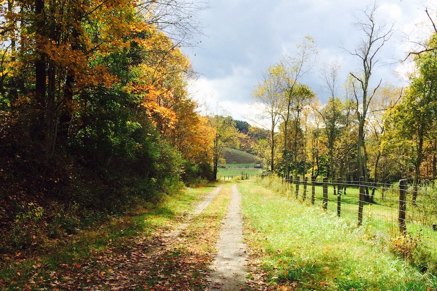
Following the original route of the West Virginia Central & Pittsburgh Railway, the 26-mile Allegheny Highlands Trail offers up small towns, forestland and views of the Appalachian Mountains that West Virginia is so intertwined with (a separate 5-miles segment extends north from the town of Davis). The trail begins at the north end of Elkins, just a mile from the West Virginia Railroad Museum. The trail becomes increasingly rural as it heads north out of the city, and after taking a turn to the east, plunges into the lush Monongahela National Forest for its final 11 miles. Except for a small hill as the trail enters the forest, the route is fairly flat. It’s paved near the towns of Elkins and Parsons, but hybrids and mountain bikes are suggested for the majority of the trail’s crushed-stone surface.
Wheeling Heritage Trails
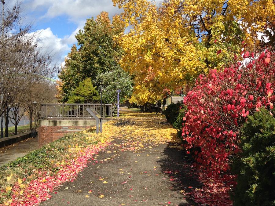
County: Ohio
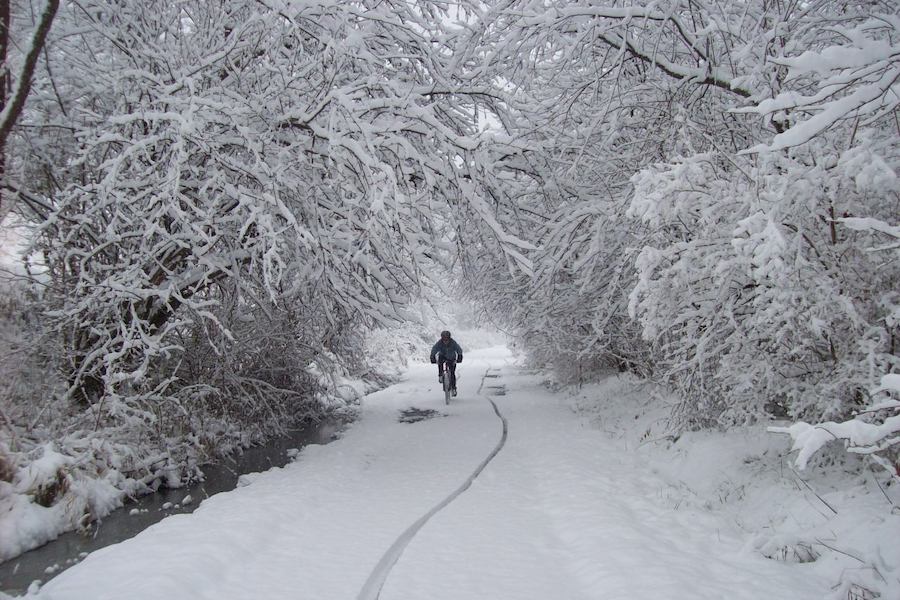
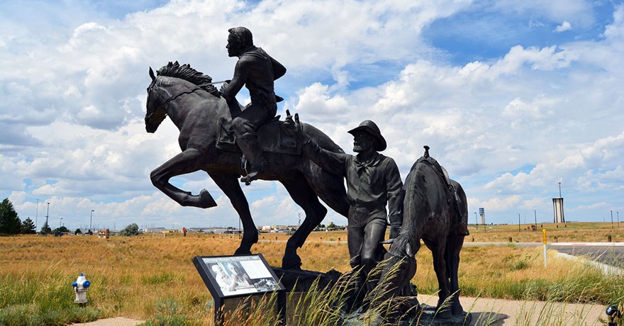
The two trails that make up the Wheeling Heritage Trails offer some 16.5 miles of paved trail through the city of Wheeling in the northern panhandle of the state. The aptly named Ohio River Trail segment is never more than a stone’s throw from the river that separates the states of West Virginia and Ohio; it passes beneath the Wheeling Suspension Bridge, the longest suspension bridge in the world for two short years until 1851. The northern section of the segment offers great views of massive barges traversing locks along the Ohio. The Wheeling Creek segment follows its namesake waterway east out of town as it passes over and through Hempfield Viaduct & Tunnel No. 1, a stone-arched creek crossing followed by a brick-lined tunnel that saw train traffic from the 1850s to 1987.
North Bend Rail Trail
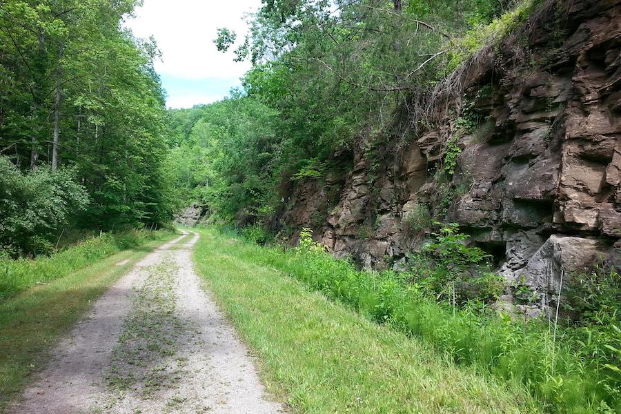
Counties: Doddridge, Harrison, Ritchie, Wood
The North Bend Rail Trail stretches eastward for 72 miles from near the Ohio state line to Parkersburg along a route once used by the Baltimore & Ohio Railroad. The fourth-largest city in the state, Parkersburg still retains a small-town charm full of Victorian buildings and cultural sites. Travelers along the route will encounter a variety of trail surfaces as well as 36 bridge crossings over a number of different waterways and 10 tunnels (many of which are reputed to be haunted) long enough that a flashlight or bike light will come in handy. The trail itself traverses fairly remote areas, and the handful of small towns where one can refuel and refresh are far enough apart that pre-planning is a necessity. This trail is also a key part of the Industrial Heartland Trails Coalition’s Parkersburg to Pittsburgh Corridor.
Harrison Rail Trail
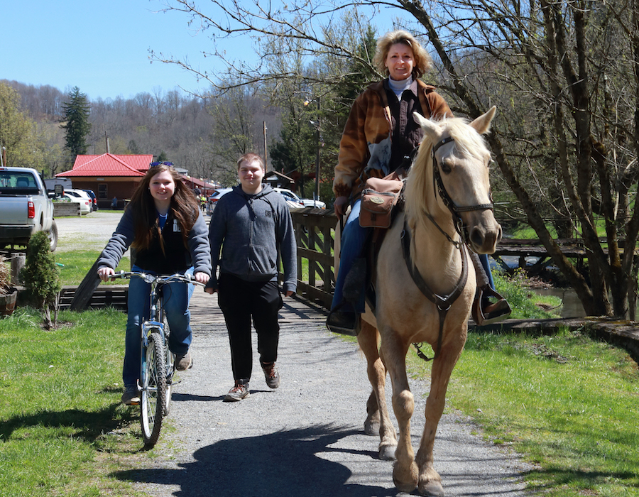
County: Harrison
Together, the disconnected north and south segments of the Harrison Rail Trail make up 12.6 miles of gravel and grass trail in the northern part of the state. The trail is part of the American Discovery Trail, a network comprising more than 288 trail miles through what’s been termed the “amazement park” of the eastern United States, an outdoor playground full of recreational opportunities such as whitewater rafting and rock climbing, plus numerous state and historic parks. The trail allows equestrian access and—like so much of the Monongahela National Forest of West Virginia—offers up truly exquisite fall colors. The trail is also part of the Industrial Heartland Trails Coalition network.
Mon River Rail-Trail System
Counties: Marion, Monongalia, Preston
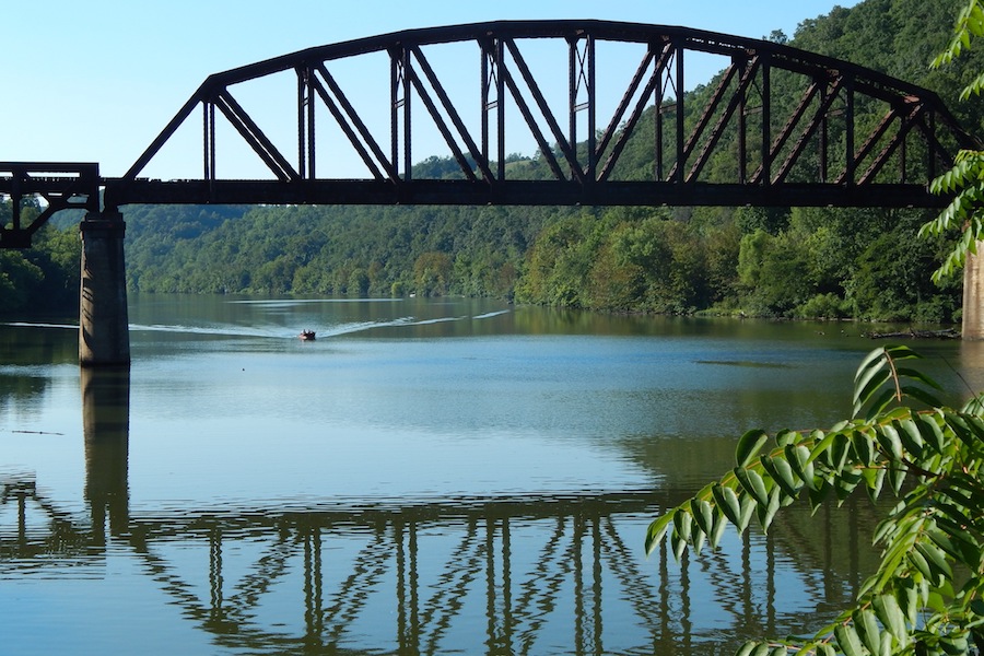
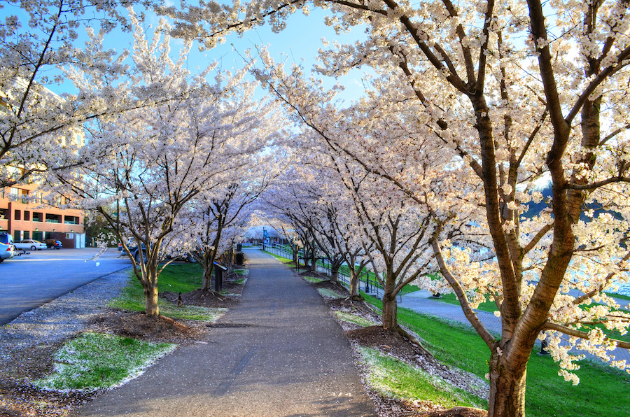
The decisive winner of RTC’s 2020 Hall of Fame vote, the Mon River Rail-Trail System comprises three interconnected routes that radiate outward from Morgantown, home of West Virginia University (WVU). All told, this triad in the northeast corner of the state offer 48 miles of rail-trail through a range of environments: The Mon River Trail, named for a shortened form of the serene Monongahela River it follows, offers dense woodlands to both the north and south of Morgantown; the Caperton Trail is all urban, connecting the two segments of the Mon River Trail as it runs through downtown Morgantown along the edge of WVU; and the Deckers Creek Trail is the scenic standout of the three, traveling southeast from the city through a mountain gorge and alongside the Class VI rapids and waterfalls of Deckers Creek.

Marion County Trail
County: Marion
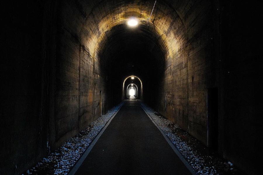
Short but sweet, the 3-mile Marion County Trail runs along an old B&O Railroad right-of-way and is known among locals as the MCTrail. It’s paved, nearly flat and connects to the Mon River Trail from Morgantown, extending the trail experience just a bit further along Prickett’s Creek, a small tributary of the Monongahela River. Get your echo on in the 1,200-foot long, concrete-lined Meredith Tunnel, and check out Prickett’s Fort State Park, home to a replica 1774 fort situated in what was once the western frontier of Colonial Virginia. Visitors will find reenactors in period dress demonstrating everything from spinning and weaving to blacksmithing and firearm manufacturing. And like many of the trails in this list, the Marion County Trail is part of the Industrial Heartland Trails Coalition network.
Honorable Mention
Panhandle Trail
Counties: Brooke and Hancock (W.Va.); Allegheny and Washington (Pa.)
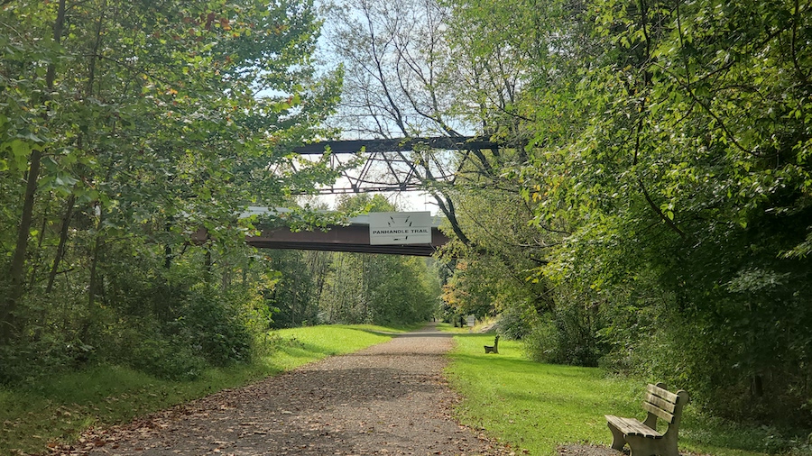
Stretching from just outside of Weirton in West Virginia’s panhandle to the outer suburbs of Pittsburgh, the bulk of the Panhandle Trail is found in neighboring Pennsylvania, but as a segment of the continent-spanning Great American Rail-Trail, we feel its inclusion as one of West Virginia’s finest is warranted. Running adjacent to creeks for much of its 29-mile length, the Panhandle takes trail-goers over several small bridges as it cuts through the rolling and rocky hillside along paved and crushed-stone surfaces.
Special acknowledgments: Kelly Pack, director of trail development for RTC; Ella Belling, president, West Virginia Rails-to-Trails Council
When you subscribe to Rails to Trails magazine, you’ll have access to many other features like this one. Our magazine is a premium of Rails to Trails membership. Join today to start receiving the magazine!

Donate
Everyone deserves access to safe ways to walk, bike, and be active outdoors.
