Top 10 Trails in Colorado
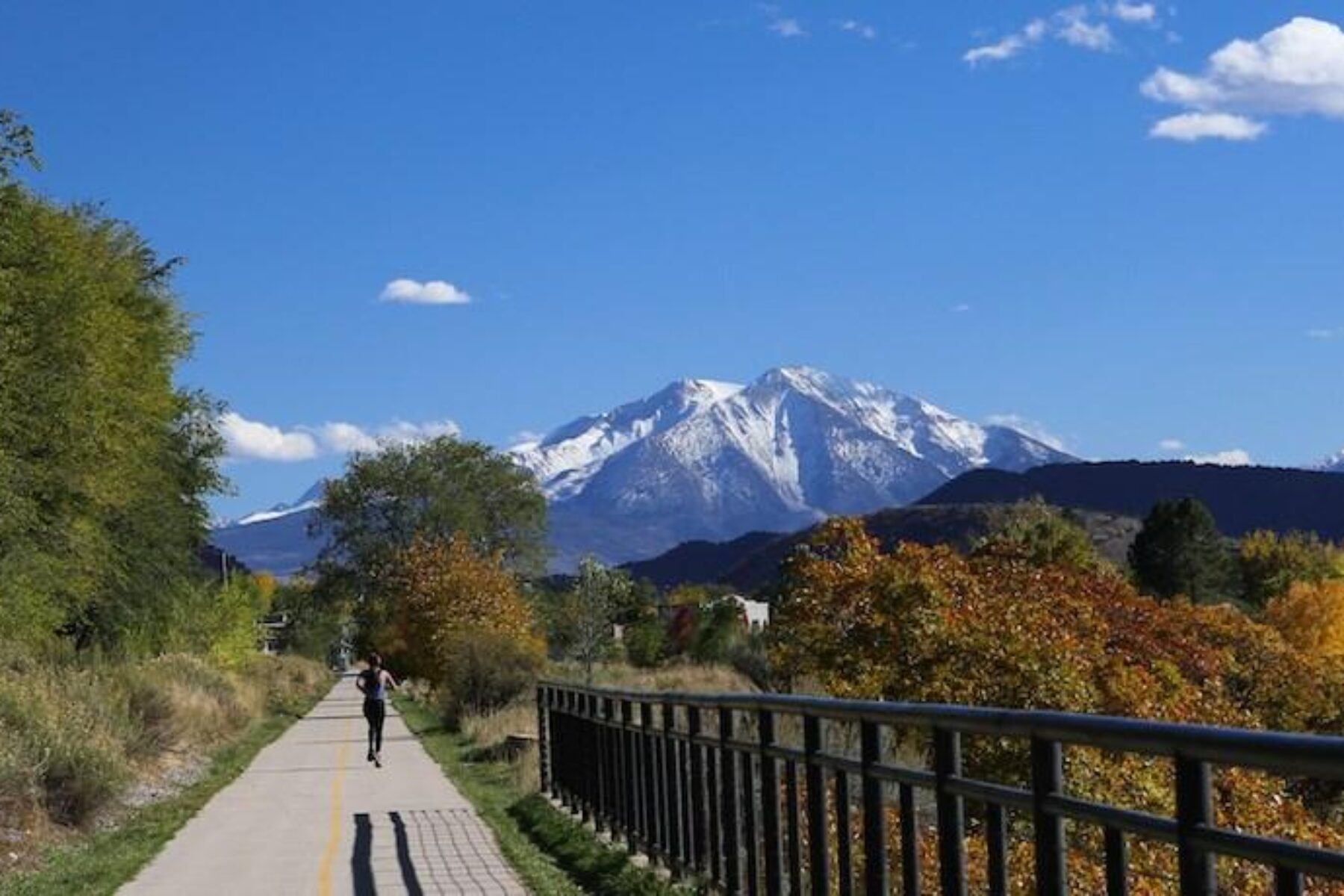
In various rankings, Colorado has been deemed the No. 1 most active state, the second-best state in which to live and the fourth-happiest state overall. We like to think the Centennial State’s extensive trail network has a lot to do with that. Here is a selection of our favorite Colorado trails, a mixture of urban and remote experiences across the Front Range and Rocky Mountains.
Peaks to Plains Trail
County: Jefferson
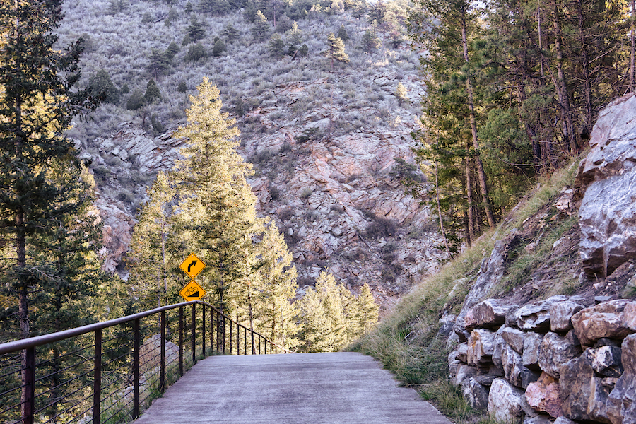
Not yet fully complete, this smooth concrete trail will encompass a truly quintessential view of Colorado as it runs downhill from the Continental Divide for 65 miles through the Rocky Mountains to the east. The Peaks to Plains Trail largely follows the route that Clear Creek carved millennia ago through mountains and high plains, following it from its headwaters to where it empties into the South Platte River north of Denver.
The peaks part of the trail in Clear Creek Canyon is a huge draw with beautiful mountainous scenery and several bridge crossings that offer views of the creek below. A major gap-filling effort, slated to be completed in the spring of 2021, will bring the trail out of the canyon and connect it to a river walk through the town of Golden at the foot of the Rockies.
New Santa Fe Regional Trail
County: El Paso
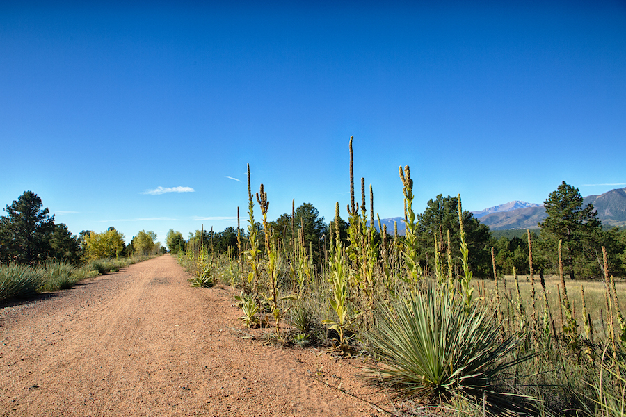
Paralleling the foot of the Rocky Mountains for 17 miles, the crushed stone and gravel of the New Santa Fe Regional Trail offers majestic views of the Front Range and Pikes Peak, and the ubiquitous red earth and nearly perpetually blue skies make for a stunning contrast. Passing by the United States Air Force Academy, you’re nearly certain to encounter cadets out for a run, gliders circling overhead as neophyte pilots hone their skills, and parachutists floating through the sky. Even the occasional roar of military jets thundering overhead does little to diminish the tranquility of this trail.
The small town of Monument that the trail passes through offers dining options, as does the even smaller town of Palmer Lake at the northern terminus. Going southward, connecting trails deliver travelers to Colorado Springs.
Cherry Creek Regional Trail
Counties: Arapahoe, Denver, Douglas
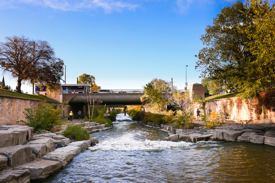
Riding along its 40-mile stretch, trail-goers transition from semi-rural exurbs straight into the heart of downtown Denver, the most populous city in the mountain states. Never straying far from its namesake river, the urban section of the Cherry Creek Regional Trail runs right beside it in an art-laden corridor a dozen feet below the bustling streets above. This segment is by far the most popular—well used by outdoor-loving Denverites. Highlights include the Denver Center for the Performing Arts, one of the nation’s largest nonprofit theater organizations, and Larimer Square, the block where Denver began in the 1850s. Imposing iron bridges passing overhead—some converted to auto bridges and some still carrying locomotives—serve as a testament to the numerous railroad lines that served this once-frontier town.
Mineral Belt Trail
County: Lake
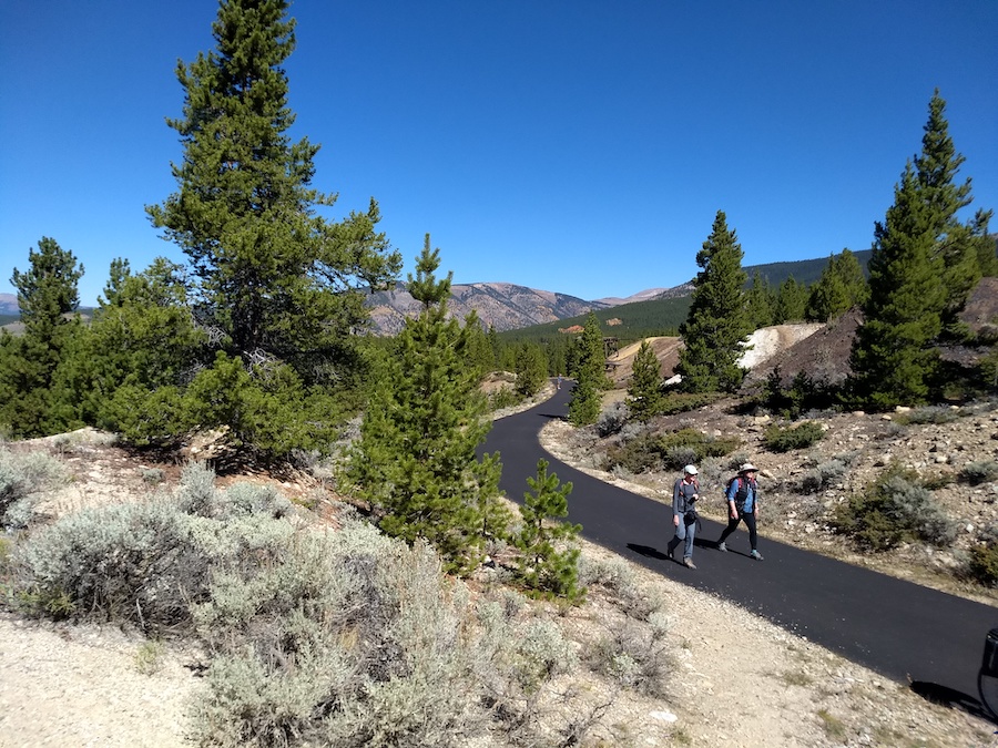
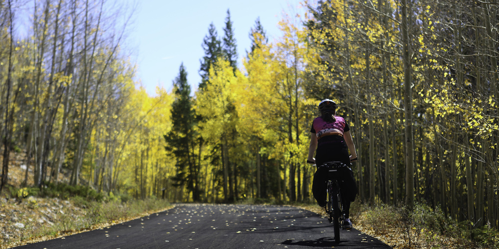
An 11.6-mile loop through the conifer forests and aspen groves surrounding Leadville takes visitors on a trip through the region’s abundant mining history, while offering views of some of Colorado’s highest peaks and the city of Leadville below. The Mineral Belt Trail presents challenges: Unlike many rail-trails, this one maintains a fairly steep average grade of 3%, with a maximum of 5%. And at 2 miles in elevation above sea level, the sun’s rays are intense and the air is thin. Even Coloradans can have difficulty with the reduced oxygen levels; outdoor rec stores in the historic city proudly offer bottled oxygen for sale! Take it easy, though, and you’ll be rewarded with a beautiful trail experience at any time of year; the trail is groomed in winter for cross-country skiing, snowshoeing and fat-tire mountain biking.
Manitou Incline
County: El Paso
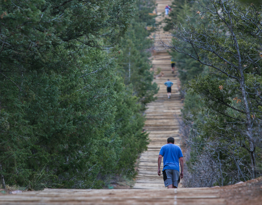
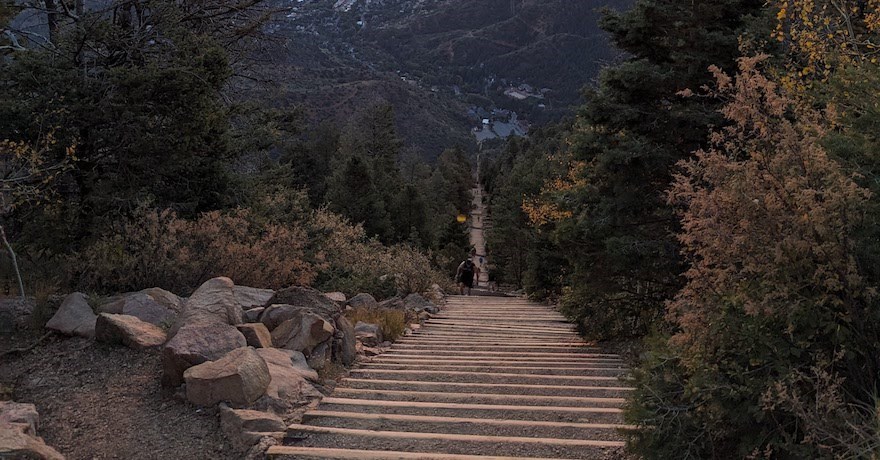
The Manitou Incline’s natural surface is studded with some 2,700 irregularly spaced steps made of railroad ties that follow the path of what has been both a cog railroad and funicular cable-car route up the side of Mt. Manitou. It’s not for the faint of heart, but the views—as well as the feeling of accomplishment—from the top make it worth it. With a maximum grade of 68%, you’re not far removed from traveling as far up with each step as you travel forward, though the average slope is a ‘mere’ 45%. Before tackling this hiker-only trail, consider that you’ll start your ascent nearly 6,500 feet above sea level. If you get passed on your way up like you’re standing still, take solace in the fact that the Incline is popular with world-class athletes; a U.S. Olympic training facility is just 10 miles away.
Animas River Trail
County: La Plata
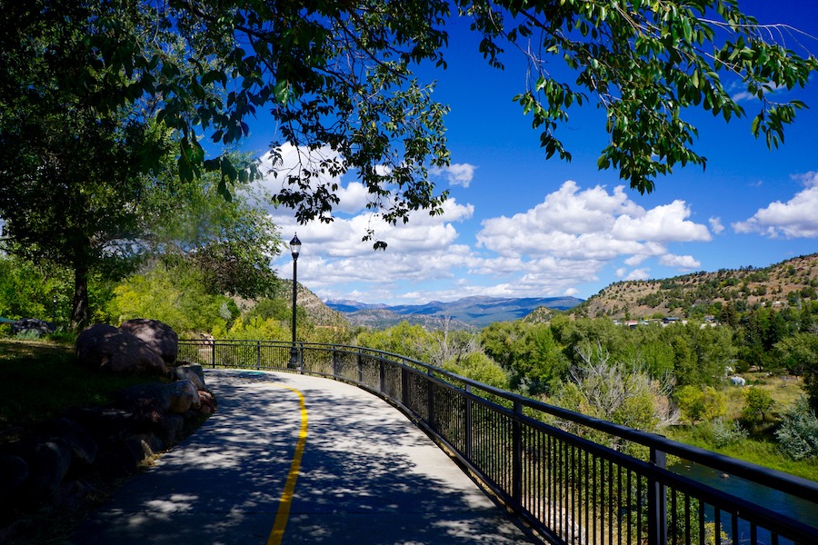
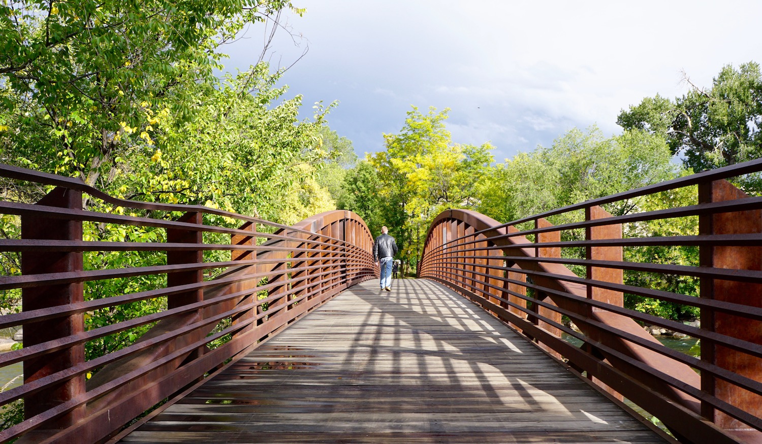
Tucked into the southwest corner of the state, the town of Durango has been intertwined with the Durango & Silverton Narrow Gauge Railroad since the 1880s. It’s a relationship that continues to this day as old locomotives billowing steam plumes are commonly seen along this rail-with-trail route. The mixed-surface path of the Animas River Trail travels a little more than 9 miles along its namesake with numerous river crossings, and cuts through downtown along a river walk that’s been called the spine of the city’s trail network. Offering a wealth of outdoor opportunities and historic train rides, Durango attracts around a million visitors each year.
Colorado Riverfront Trail
County: Mesa
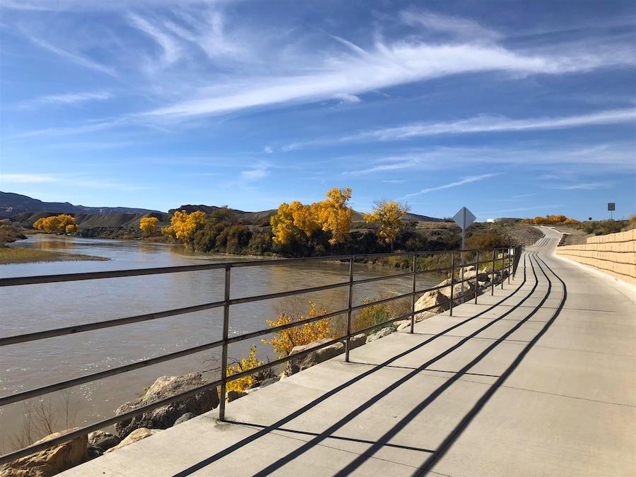
Hugging the Colorado River for most of its 24 miles, the paved Colorado Riverfront Trail skirts along the south side of Grand Junction on the western edge of the state. The city is named for the confluence of the Colorado and Gunnison Rivers, and the trail offers a great view of this grand junction, as well as the imposing red rock cliffs of Colorado National Monument to the south. Plenty of dining options are available not far from the trail, and birdwatching is particularly popular along it. Just across the river, in fact, is the Audubon Nature Preserve, home to some 200 bird species. The trail stretches westward out of the city past Fruita before terminating in Loma near James M. Robb Colorado River State Park.
Rio Grande Trail
Counties: Eagle, Garfield, Pitkin
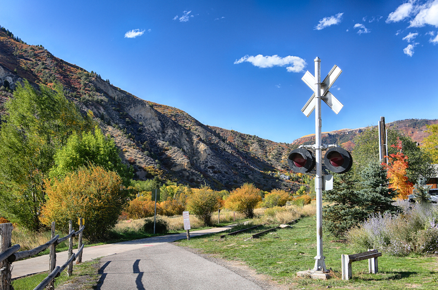
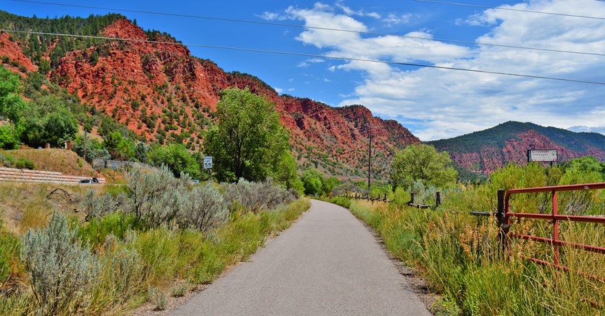
High in the Rockies on the western side of the Continental Divide, the Rio Grande Trail stretches between the ski town of Aspen and Glenwood Springs, famed for its mineral-rich pools of hot spring water. Much of the trip is like pedaling through a postcard, with seasonal wildflowers, imposing mountain peaks, richly scented forests of ponderosa pine and the rushing waters of the Roaring Fork River that the trail rarely strays far from. A favorite among locals and visitors alike, a popular route is to start in Aspen and ride downhill to the Glenwood Springs terminus, descending more than 2,000 feet over 42 miles, almost all of which are paved. A bike-accommodating bus service can bring the weary back to Aspen from several points along the route.
Galloping Goose Trail
County: San Miguel
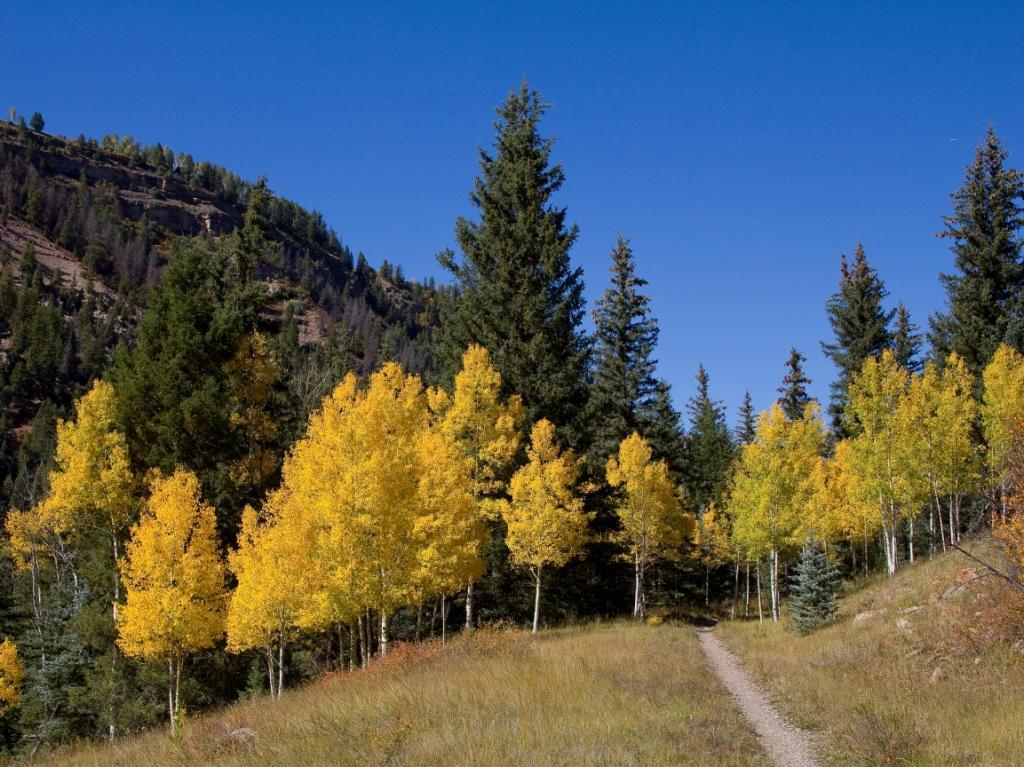
Like so many rail lines high in the Rocky Mountains, the Rio Grande Southern Railroad was built to haul precious metals from rich deposits. To scale the 10,200-foot-high pass between Durango and Telluride, railroad crews blasted ledges into cliffs, built winding loops, and constructed dozens of trestles for their narrow-gauge rail line, a route that today offers an impressive view of Colorado’s natural beauty. Following forest roads, single-track trails and portions of the historic railroad, the 17.6-mile dirt and gravel Galloping Goose Trail path has some steep drop-offs requiring care, and is best suited to mountain bikers and hikers.
Yampa River Core Trail
County: Routt
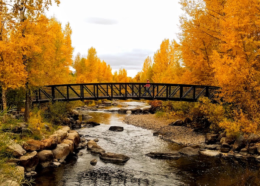
A breezy 7 miles, the Yampa River Core Trail follows its namesake river through Steamboat Springs, a cozy town of 12,000 with the distinction of having produced more winter Olympians than any other place in North America. The paved trail offers easy access to multi-season attractions, including put-in points to tube down the river, fishing spots, a botanical park open spring, summer and fall, an arena featuring ice bumper cars, a ski resort and—no surprise given the town’s name—naturally occurring hot springs.

2018 Winter Issue of Rails To Trails Magazine
Trail Vision: Colorado the Beautiful by Scott Stark
When you subscribe to Rails to Trails magazine, you’ll have access to many other features like this one. Our magazine is a premium of Rails-to-Trails Membership. Join today to start receiving the magazine!

Donate
Everyone deserves access to safe ways to walk, bike, and be active outdoors.
