Top 10 Trails in Vermont
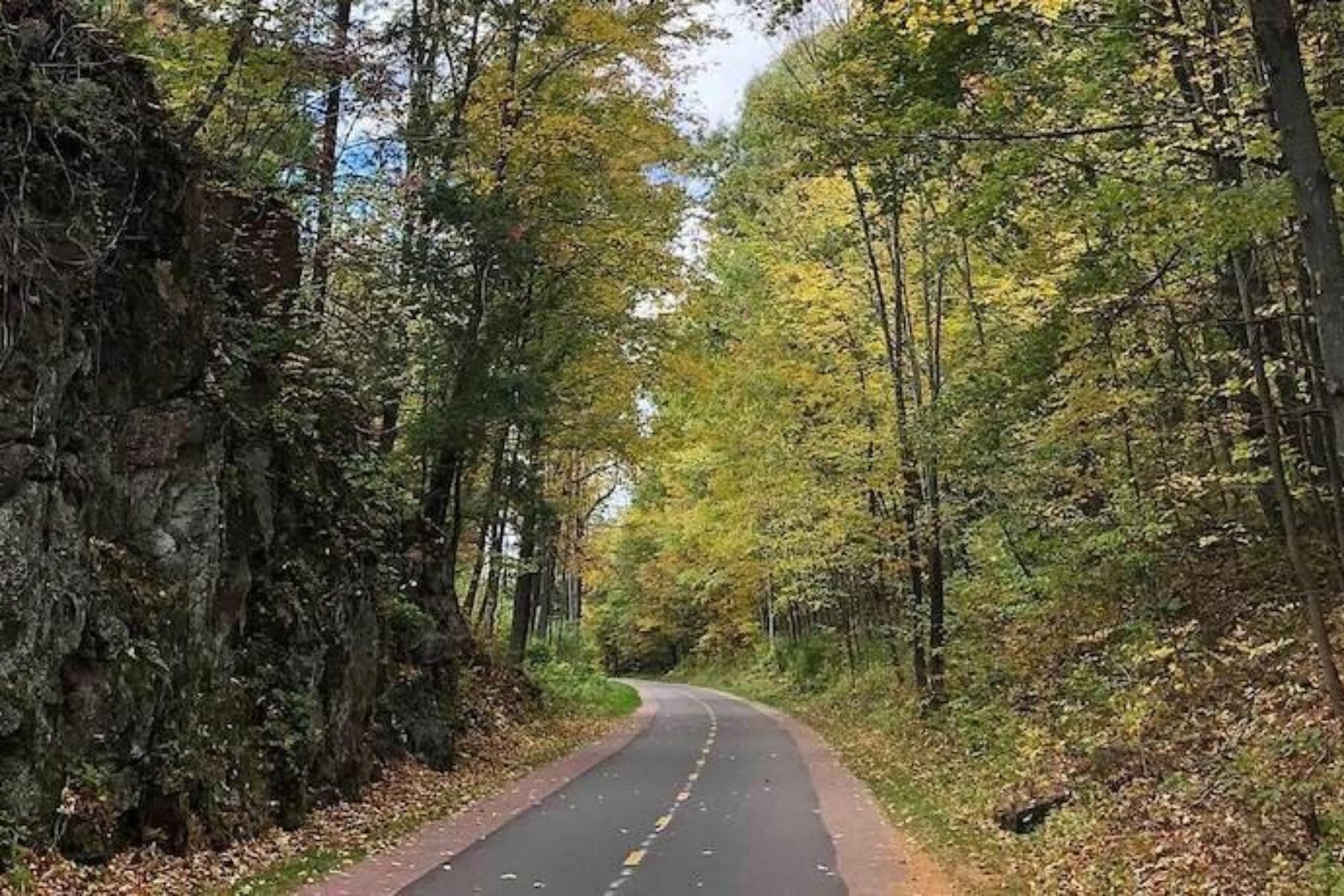
Regardless of the season, Vermonters make the most of their trails. From spring when the wildflowers abound to the stunning autumn display of the hardwood forests, traveling by trail is a part of life. And during the winter, it doesn’t matter if there are feet of snow on the ground because many of the trails in Vermont are plowed or groomed for cross-country skis, snowshoes or fat-tired bikes. Exploring these routes gives trail users the most eye-catching paths leading from home into town, or venturing into the bucolic Vermont landscape that is rich in cultural history and natural beauty.
Beebe Spur Rail Trail
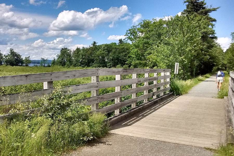
County: Orleans
Starting in Newport along Fyfe Drive, the Beebe Spur Rail Trail is a level and strikingly beautiful ride for roughly 4 miles of paved trail to the northernmost trailhead of Derby. Most of the journey follows the 350-foot-deep and 32-mile-long Lake Memphremagog that stretches between Vermont and Quebec. There are numerous spots along the way to scan for wildlife or Memphre, the mythical lake monster.
In the winter, snowshoes, cross-country skis and fat-tire bikes are a favorite mode of travel, as the nonprofit Memphremagog Trails grooms the entire Beebe Spur Rail Trail along with an additional 12 miles of trails in the region.
Delaware and Hudson Rail-Trail
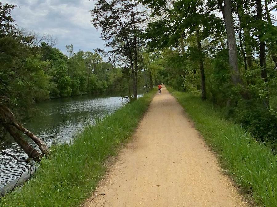
Counties: Bennington, Rutland
For nearly a century, trains of the Delaware and Hudson Company hauled coal and slate along the corridor of what is today the Delaware and Hudson Rail-Trail. The unpaved pathway welcomes nonmotorized users throughout the year, as well as snowmobilers, snowshoers and cross-country skiers in the winter.
With 19.8 miles in Vermont (plus another few miles in Washington County, New York), the D&H Trail is divided into two roughly equal sections separated by 14 miles of roadway. Recreationists enjoy the tranquility of the hardwood forests, farmlands and small towns along the route, that crosses 17 wooden-decked bridges over numerous streams and the Indian River.
On the New York section of the trail, progress is being made to close the gap between Middle Granville and the Vermont line. A grant-funded extension of the trail from Depot Street in Middle Granville north to Cross Road in Raceville (a hamlet within Granville) is anticipated to open in 2022 or 2023. A future phase will continue the segment to the border.
Ethan Allen Park Trails
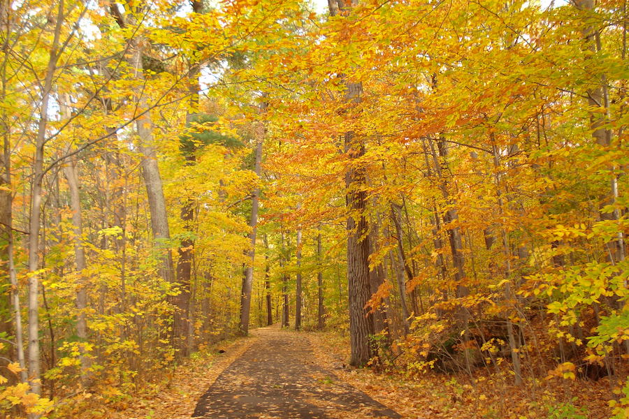
County: Chittenden
Winding through Burlington’s 60-acre Ethan Allen Park, the Ethan Allen Park Trails covers 4 miles of paved and dirt paths along its main route and spur trails. Home of the Abenaki people, this entire area is rich in cultural and natural history, with stunning views of the Adirondack Mountains and Lake Champlain from the stone Ethan Allen Tower built in 1905. Another favorite is the steady climb along the spur trail to the Ethan Allen Pinnacle, where visitors view the town of Burlington and Mt. Mansfield, the highest mountain in Vermont. At the north end of the park across Route 127, continue to the Route 127 Path, which also connects to the Burlington Wildways.
Island Line Rail Trail
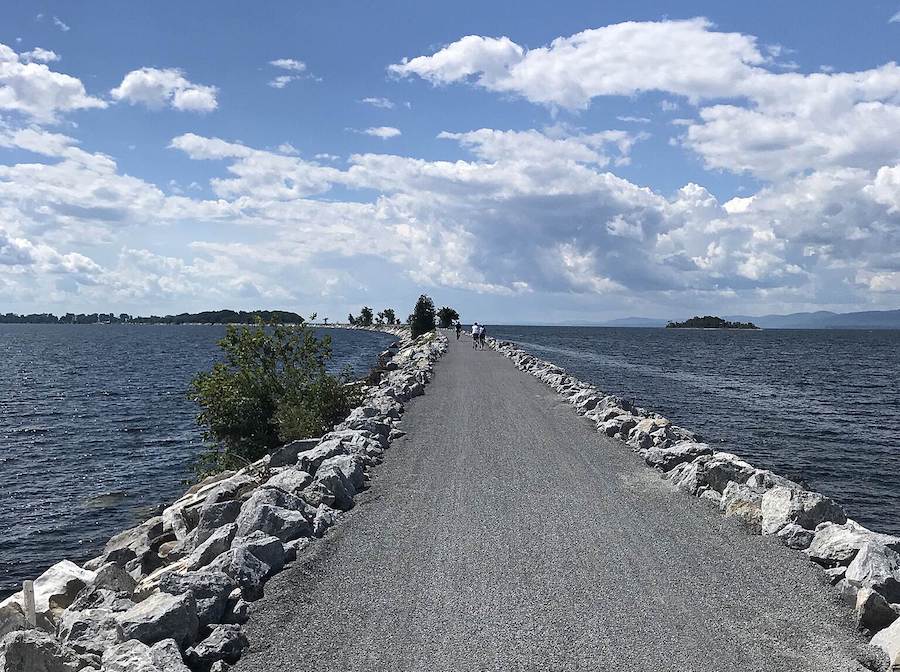
Counties: Chittenden, Grand Isle
Between jaw-dropping views of Lake Champlain, the Adirondacks and the Green Mountains, the nearly 13.4-mile-long Island Line Rail Trail is unique among Vermont’s naturally stunning landscapes. The southernmost section of the trail, called the Burlington Greenway, is a recently rehabilitated 8-mile pathway joining downtown Burlington to the shore of Lake Champlain.
Photo opportunities abound on this Hall of Fame Rail-Trail as it connects to the Colchester Causeway that brings trail users 3 miles into the middle of Lake Champlain, with the option of taking the seasonal Local Motion Bike Ferry across “The Cut,” a 200-foot section where a turnstile bridge once stood. From there, the trail continues onto South Hero Island. In the winter, Burlington plows part of the Greenway for winter recreationists.
Lamoille Valley Rail Trail
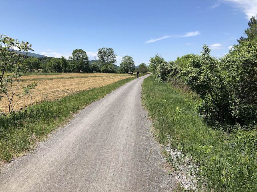
Counties: Caledonia, Franklin, Lamoille
Forty-five miles of the Lamoille Valley Rail Trail are currently available for trail users in a handful of discontiguous sections. With the 2021 commitment by Gov. Scott, the 93-mile entirety will welcome snowmobilers by the end of 2022 and all other trail users by the summer of 2023. Mountain bikers, hikers and horseback riders are well suited for the crushed-gravel path that follows the railroad bed’s 3% grade. The path features beautiful woodlands and rivers with fascinating railroad history and welcoming rural towns.
Utilized throughout the year, the Lamoille Valley Rail Trail is supported by the VAST organization and is groomed by local snowmobiling clubs. Plus, it’s equally loved and used by cross-country skiers, snowshoers and dog sledding enthusiasts.
Missisquoi Valley Rail-Trail
County: Franklin
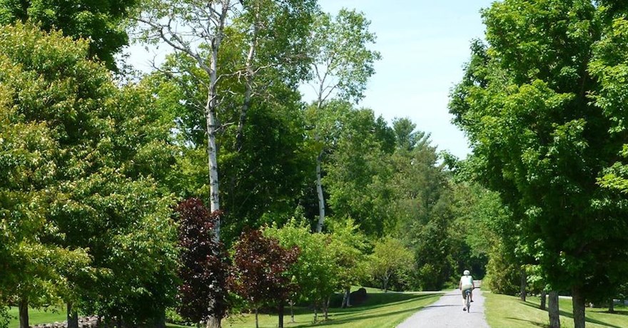
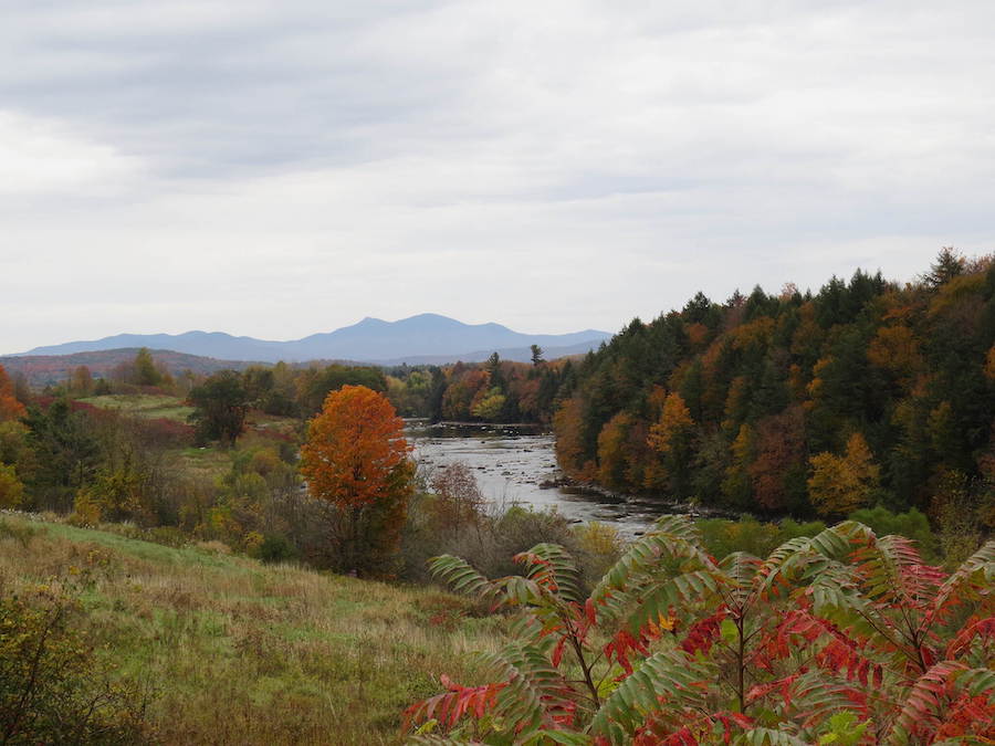
Riding through the pastoral landscape of working farms, the 26.3-mile Missisquoi Valley Rail-Trail leads visitors along the Missisquoi River, as well as through rural villages and tranquil hardwood forests. This popular recreational area was originally the corridor for Central Vermont Railroad’s Richford Branch, which was established in the late 1860s between Saint Albans and Richford.
The crushed-gravel path maintains a steady grade and is ideal for mountain biking, walking and horseback riding in the warmer months, while snowmobiling, cross-country skiing and snowshoeing take center stage in the winter. Trail-friendly businesses welcome visitors throughout the year, and the Missisquoi Valley Rail-Trail intersects the Lamoille Valley Rail Trail in Sheldon for extended excursions.
South Burlington Recreation Path
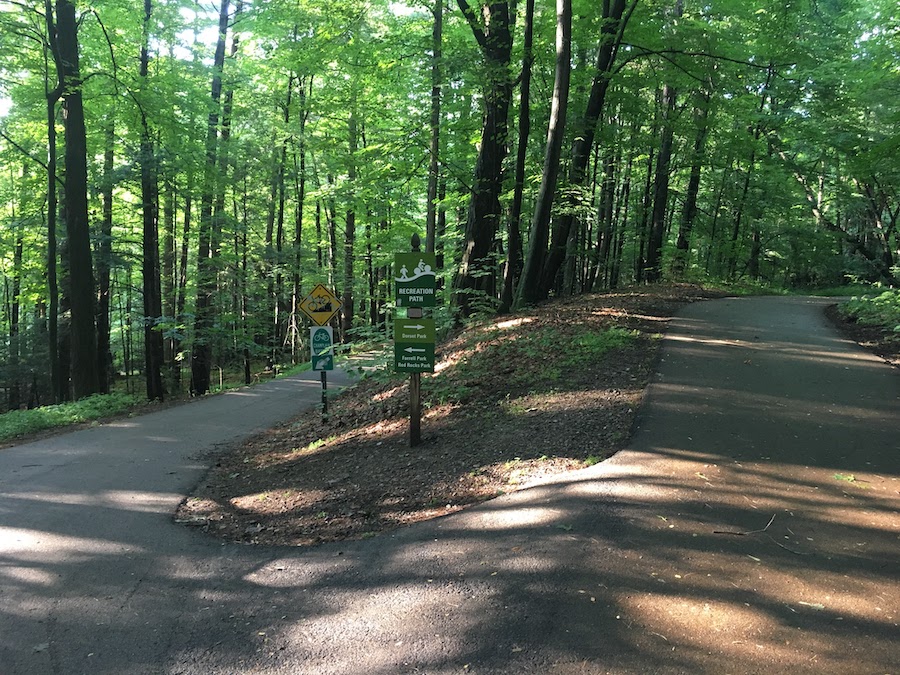
County: Chittenden
There’s no better way to commute to work or a friend’s house than to travel along the South Burlington Recreation Path. Created to connect neighborhoods with schools, parks and town, this 26-mile network of trails allows people to bike, walk and inline skate through parks and forested areas to access neighborhoods, the downtown area or Shelburne Bay of Lake Champlain. The Recreation Path is also plowed during the winter for year-round use.
In 2018, the Pennies for Paths initiative provided funds for additional improvements to increase accessibility and the overall reach of the trail so more people can travel without hopping into the car.
Stowe Recreation Path
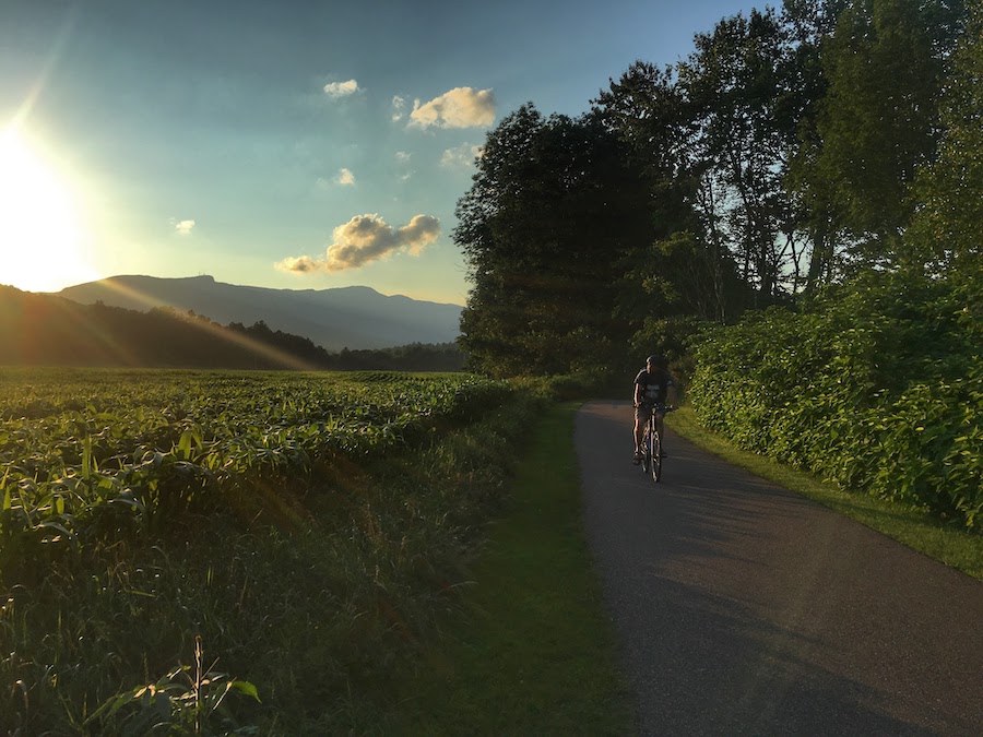
County: Lamoille
The 5.5-mile paved Stowe Recreation Path showcases the picturesque northern Vermont landscape along the West Branch of the Little River. With just 255 feet of elevation gain, it’s easy to pedal or walk in either direction, although those who prefer a one-way downhill ride begin at the northern parking area near the Topnotch Resort. Crossing the river 11 times provides opportunities to see birds and other wildlife, and the covered bridge at the north end is a favorite landmark. Closer to Stowe, runners and walkers can explore the 1.8-mile Quiet Path that runs along the river. In the winter, the Stowe Recreation Path is groomed for cross-country skiers and snowshoers.
Toonerville Rail-Trail
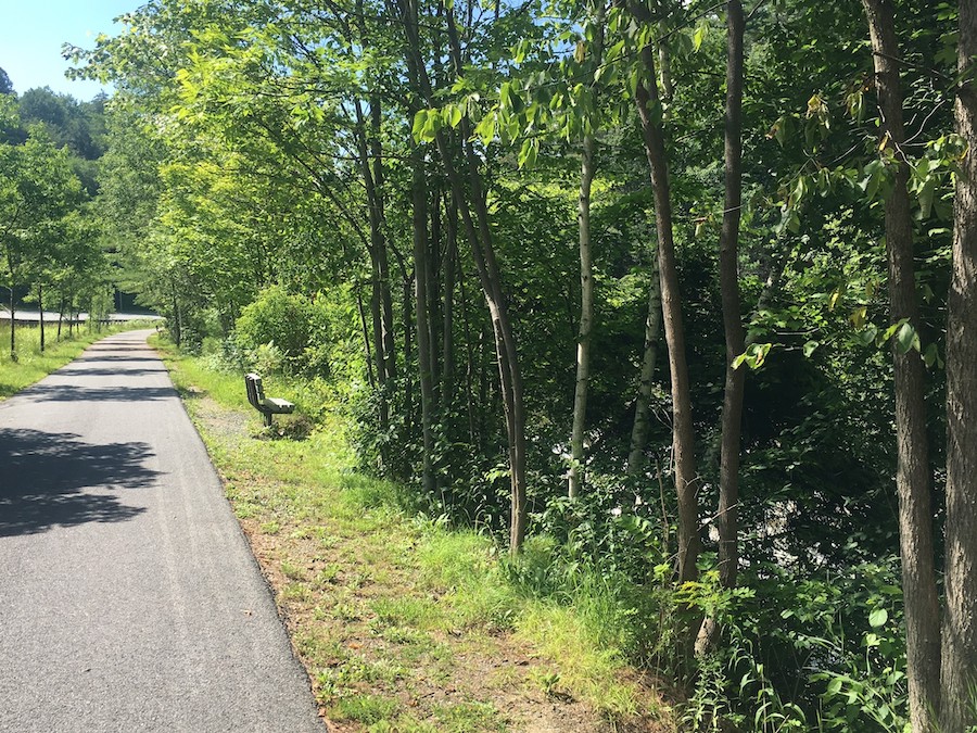
County: Windsor
The corridor for the Toonerville Rail-Trail was originally used by the hydroelectric-powered Toonerville Trolly to move people and freight from Charleston, New Hampshire, to Springfield, Vermont, from the 1800s to 1947. Today, the paved pathway runs 3.2 miles along the Black River, a tributary of the Connecticut River. When snow settles in for the season, cross-country skiers and snowshoers enjoy the trail as a winter wonderland.
Beginning at the Robert B. Jones Industrial Center trailhead in Springfield, the first couple miles have a slight downhill grade. After crossing the historical trolley bridge at roughly the 1.5-mile mark, it’s worth a side trip to visit the 1795 Eureka Schoolhouse, which is now an information center.
West River Trail
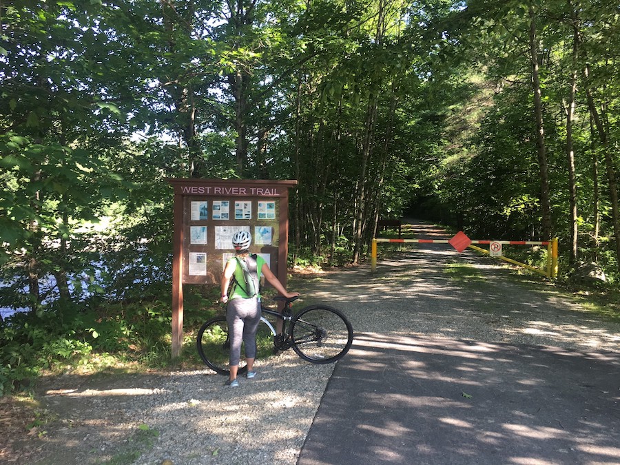
County: Windham
Formed in 1992, the Friends of the West River Trail began the effort to ultimately create a 36-mile contiguous trail utilizing the original route of the West River Railroad for nonmotorized use as well snowmobiling. Currently, 16.1 miles of the West River Trail are open in three disconnected sections.
The Lower Section of the West River Trail spans 3.3 miles beginning on its southern end in Brattleboro at the Marina Trailhead and continuing north to Rice Farm Road. At 1.5 miles from the Marina Trailhead, the new Sibosen Trail encompasses 21-acres celebrating the history of the Abenaki people. The Upper Section of the West River Trail is divided into two segments consisting of nearly 13 miles combined and includes camping areas and excellent views at the Ball Mountain Dam.
Special acknowledgments: Bob Primeau, Memphremagog Trails; Kathleen White, Friends of the West River Trail; Olivia Wolf, Burlington Parks and Recreation; Diana M. Wood, Burlington Parks and Recreation; Amy Adams, Northwest Vermont Rail Trail Council/Missisquoi Rail-Trail; Chris Hunt, Vermont Department of Transportation/Lamoille Valley Rail-Trail; Ashley Park, South Burlington; Tom Sexton, Rails-to Trails-Conservancy; Quentin McKinley, Vermont Agency of Natural Resources
When you subscribe to Rails to Trails magazine, you’ll have access to many other features like this one. Our magazine is a premium of Rails to Trails membership. Join today to start receiving the magazine!

Donate
Everyone deserves access to safe ways to walk, bike, and be active outdoors.
