Top 10 Trails in Massachusetts
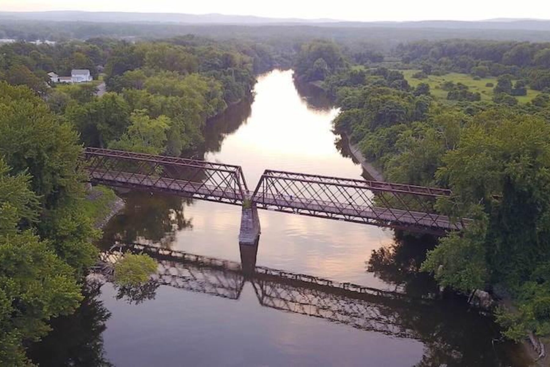
Home to America’s first railroad, it should come as no surprise that Massachusetts is teeming with rail-trails and railroad history. While the Bay State’s capital of Boston attracts many visitors, its 93 multiuse trails totaling 461 miles draw visitors to every corner of the state. Massachusetts is also a growing hub for interconnected trail systems, including the Coastal Trails Network, Landline Network, Vision 88, New England Rail-Trail Network and East Coast Greenway, which are linking existing trails and closing gaps across the state, region and Eastern seaboard.
Whether you’re looking for a long, leisurely ride around Cape Cod or a short cruise through one of the state’s bustling cities, Massachusetts has so much to offer all trail users.
Minuteman Commuter Bikeway
County: Middlesex
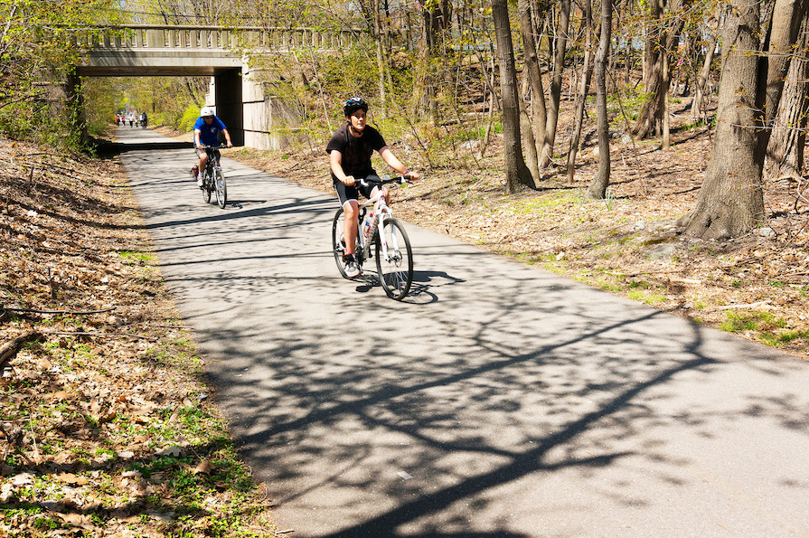
The ever-popular Minuteman Commuter Bikeway runs 10.1 miles from the suburbs of Boston to the outskirts of the city. At a comfortable pace, the trail takes about an hour one way, and serves as an alternative form of transportation for many people commuting to and from the city. Because of its versatility, the trail has seen hundreds of thousands of people every year since its opening in 1993 and was inducted into the Rail-Trail Hall of Fame in 2008.
Roughly following Paul Revere’s famous “The British are Coming!” horseback ride, the Minuteman’s historical roots are evident in trailside displays detailing the American Revolution at sites of interest. Along the trail, users will also be treated to bakeries, shops and a bike repair station. Those wishing to recreate off the trail can kayak, canoe, or take their dogs for a swim in Spy Pond, or take a hike and look for wildlife in the 183 acres of Arlington’s Great Meadows.
Mass Central Rail Trail
Counties: Hampshire, Middlesex, Worcester
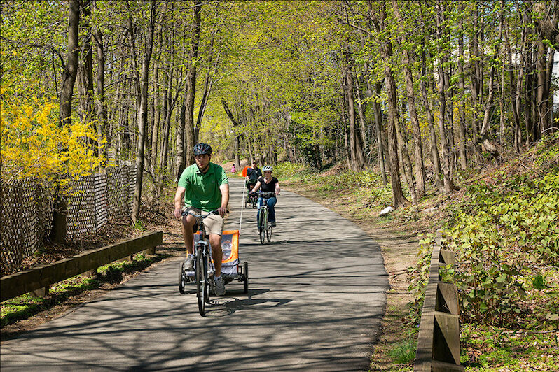
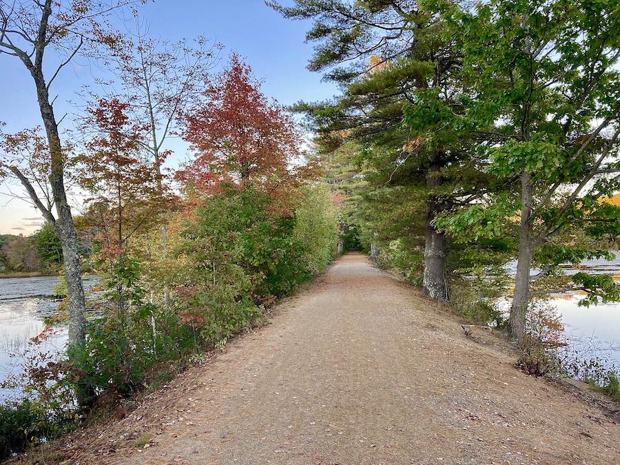
Currently comprising several open segments totaling nearly 50 miles, the Mass Central Rail Trail is a developing route across the state. The effort to create the planned 104-mile trail is being spearheaded by local groups such as the Friends of Northampton Trails, Mass Central Rail Trail Coalition and Wachusett Greenways. Due to the trail’s central location, it is a spine of the New England Rail-Trail Network and connects to many other trails in the state.
Beginning in Boston’s northwestern suburbs, the easternmost section of the trail follows the Somerville Community Path, Alewife Linear Park and the Fitchburg Cutoff Path. It also offers a connection to the Minuteman Commuter Bikeway. From Sterling to Barre, the trail is known as the Wachusetts Greenways Section and leads users past a popular fishing spot, the West Waushacum Pond. After traveling 3 miles down the Hardwick Section, users will arrive at the Norwottuck Branch. Formerly known as the Norwottuck Rail Trail, this section passes through Connecticut River Greenway State Park and by Amherst College. The trail intersects with the Art Swift Bike Connector, which leads to the Amherst campus of the University of Massachusetts, and connects to the Manhan Rail Trail, which heads through downtown Northampton. The final section of the trail takes users past Florence’s Look Park before continuing along the Mill River.
Nashua River Rail Trail
Counties: Hillsborough (New Hampshire), Middlesex (Massachusetts)
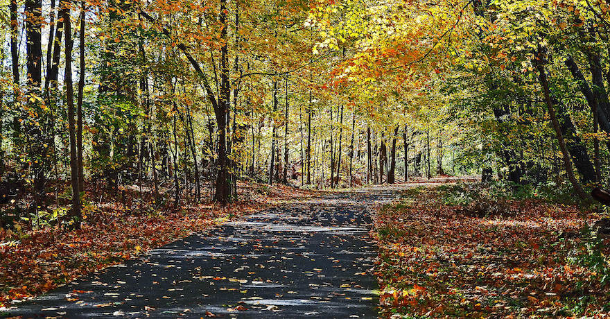
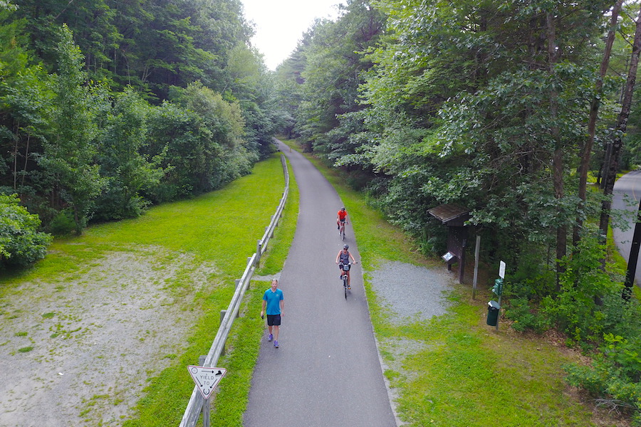
Running 12.3 miles from southern New Hampshire into Massachusetts, the Nashua River Rail Trail loosely parallels its namesake river. Built on a former Boston and Maine Railroad line, the trail opened in 2002. Beginning at the New Hampshire trailhead, travelers will follow the tree-lined trail for about a mile before arriving at the Massachusetts state line, where the trail winds its way through wetlands and waterways.
But the trail wasn’t always known for its proximity to pristine water. Prior to the Massachusetts Clean Water Act, which was passed in 1965 in part due to grassroots advocacy led by local Marion Stoddart and the Nashua River Watershed Association, the river was so polluted from decades of chemical dumping that it was colored various shades of green, red, yellow and blue. Due to the legislation, the river and trail are now flourishing with clean water and increased wildlife. Popular areas for wildlife viewing along the trail include Pepperell Pond, J. Harry Rich State Forest and Groton School Pond. Near the southern end of the trail in Groton, murals painted by local art students adorn two underpasses, depicting both the trail’s railroad history and its present-day use as a means of recreation for people of all ages, abilities and walks of life.
Shining Sea Bikeway
County: Barnstable
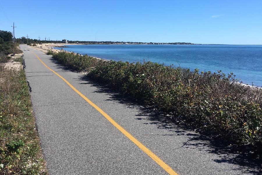
Named after lyrics penned by Falmouth, Massachusetts native Katharine Lee Bates for the song “America the Beautiful,” the Shining Sea Bikeway provides breathtaking views of the ocean and is the only bikeway on Cape Cod to feature a seaside section. The trail is the result of a 9-year effort championed by local residents Joan Kanwisher and Barbara Burwell, the mother of Rails-to-Trails Conservancy’s cofounder David Burwell.
Starting at the northern trailhead, the trail’s railroad past is apparent as railroad ties dot the trail’s edges. A few miles later, users will reach the Great Sippewissett Marsh and, another mile after that, the Little Sippewissett Marsh, which features a connection to the campground for any bikepackers or backpackers. The marsh also has a spectacular overlook of Chapoquoit Beach and beautiful cranberry bogs. Two miles shy of the end of the 10.7-mile trail, travelers will be treated to views of the Atlantic Ocean and Surf Drive Beach. Friends of Falmouth Bikeways hope that one day the trail will extend north to Bourne to connect to the Cape Cod Canal Bikeway.
Ashuwillticook Rail Trail
County: Berkshire
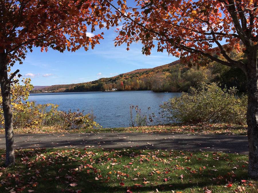
Located in the northwestern corner of Massachusetts, the 11.9-mile Ashuwillticook Rail Trail winds through the Hoosic River Valley bestowing views of mountains, lakes and rivers upon its travelers. Within a mile of the southern trailhead, users will pass Berkshire Pond leading up to the astonishing 418-acre Cheshire Reservoir. Following more than 2 miles of shoreline, trail users will take in the view of Mount Greylock—the highest point in the state—just across the lake. Fishing is permitted in the lake and wildlife is abundant, so users should keep their eyes peeled for various birds, fish and turtles along this section.
Rolling into the town of Cheshire, the old Boston & Albany Railroad station houses a trailside business that sells refreshments. Near the trail’s northern end in Adams, users will see banners of a bear riding a bicycle throughout town, an acknowledgement of the trail’s popularity and the local population of black bears. Currently, two extensions are planned for the trail at either end: one into North Adams and another into Pittsfield.
Bruce Freeman Rail Trail
County: Middlesex
Named after a Massachusetts state representative, the Bruce N. Freeman Trail spans 11.7 miles on the outskirts of Boston. Freeman, who served the state from 1969 until his death in 1986, was inspired to create a bike path along the former Penn Central railroad after seeing the Cape Cod Rail Trail and taking a trip with his son and grandson to ride on a bike trail in San Jose, California. At the time, the planned trail was referred to as the Lowell-Sudbury Rail Trail, but after Freeman’s death, Carol Cleven, his successor, introduced a bill that would not only make the trail a reality, but would name it after the man who championed it.
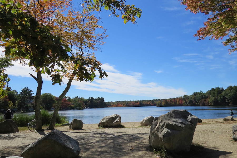
From its northern end in Lowell, the first few miles of the trail are more urban and located near major roads, but farther on visitors are immersed in nature. Users will pass Heart Pond with a playground and swimming beach. Next, the trail loosely follows and crosses Nashoba Brook before passing the 123-acre Nashoba Brook Conservation Land area. This section of the trail currently ends south of Ice House Pond and Concord Road, but picks back up after a short gap, continuing for another 2.5 miles before ending at Powder Mill Road in Concord. Various future connections, extensions and gap closures are in progress or planning stages by the Friends of the Bruce Freeman Rail Trail.
Cape Cod Rail Trail
County: Barnstable
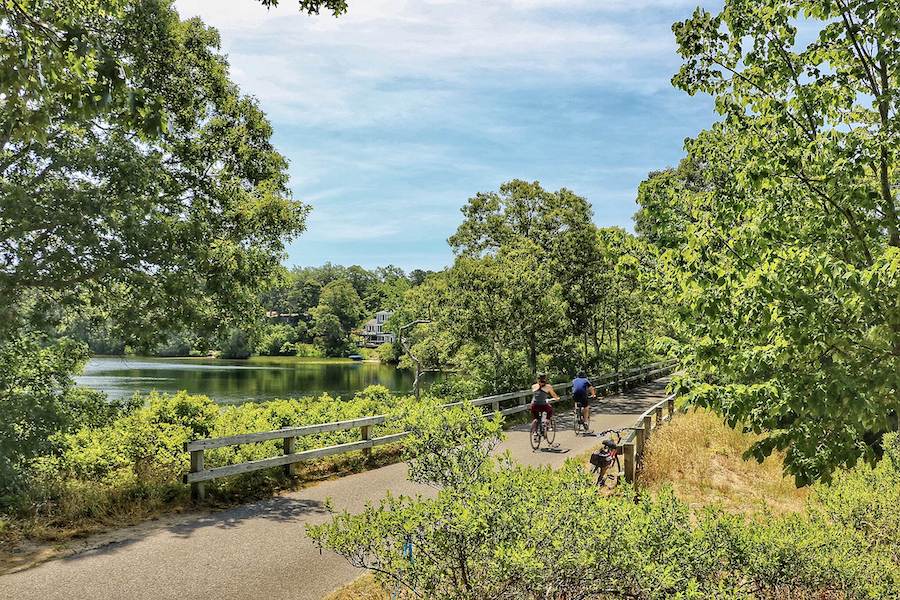
Just 75 miles down the coast from Boston, the Cape Cod Rail Trail winds 27.5 miles up the cape. A vital trail in its own right, it also serves as a crucial link in the East Coast Greenway and Vision 88, a trail system that will span 88 miles across Cape Cod.
The trail starts just southeast of Barnstable where, after 2 miles, it connects to a local bike trail at Peter Homer Park. After a few more miles, users will cross the Bass River on a 160-foot bridge. Near mile 9, the trail comes to a fork; going left will keep you on the Cape Cod Rail Trail, while going right will take you on the Old Colony Rail Trail. Continuing north, users will pass by the William & Barbara Hacker Wildlife Sanctuary and, by mile 14, travelers will arrive at 1,900-acre Nickerson State Park, which offers trails, picnic and swimming areas, campsites and other recreational amenities.
A fantastic side trip lies just 4 miles ahead at the Cape Cod National Seashore’s Salt Pond Visitor Center and Museum, located just 0.5 miles off the trail. The remaining miles to the trailhead in Wellfleet provide ample opportunity to hop off the trail and head down to the beach. Long term plans include extending the trail north 1.5 miles to the Wellfleet Center, as well as extending the trail west to Barnstable.
Rose Kennedy Greenway
County: Suffolk
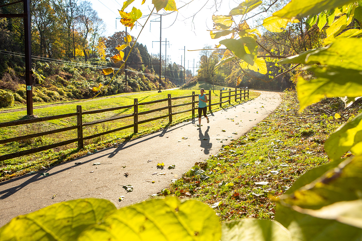
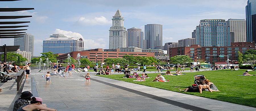
Sitting atop the Big Dig, the Rose Kennedy Greenway is a premier trail and destination in Boston. Named for Rose Fitzgerald Kennedy—mother of President John F. Kennedy, Senator Robert F. Kennedy and Senator Ted Kennedy—the trail runs through Chinatown, the Financial District and Kennedy’s birthplace, North End.
Though this urban trail is only 1.9 miles, it is packed with attractions and amenities such as free WiFi, food trucks, beer and wine gardens, fountains, bee and pollinator gardens, and rotating installments of public art. In addition, the trail features historical and cultural landmarks, such as Paul Revere’s house and a custom-built carousel crafted from children’s drawings of Boston Harbor creatures both real and mythological.
East Boston Greenway
County: Suffolk
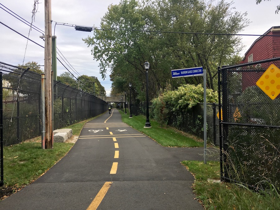
Located near Boston Logan International Airport, the 2.8-mile East Boston Greenway links together 15 acres of public parks and green spaces. Just across the harbor, users can observe the city skyline as they venture from the southern trailhead.
Five miles in, users will pass Bremen Street Park and the Boston Public Library’s East Boston Branch. Other parks along the way include Wood Island Bay Marsh, Piers Park and Belle Isle Marsh Reservation. The trail also pays homage to its railroad beginnings with a restored caboose parked trailside. According to the Boston Planning & Development Agency, expansion plans are in the works and, once completed, the Greenway will span 3.3 miles.
Neponset River Greenway
County: Suffolk
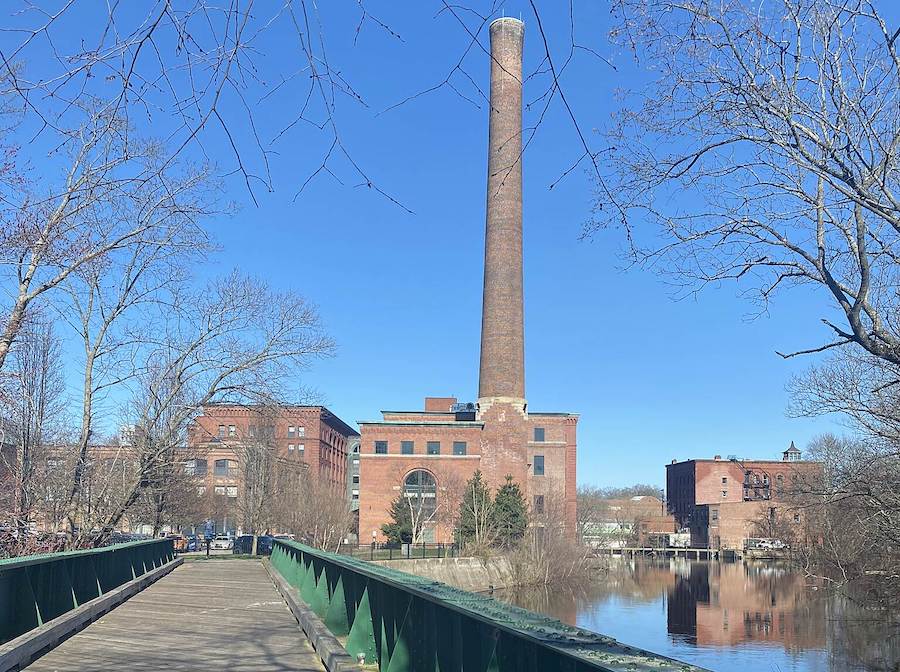
Winding through the Neponset River Valley, the Neponset River Greenway connects the communities of Dorchester, Hyde Park, Mattapan and Milton. The river was used for fishing by the local Indigenous tribes and, in the 1600s, became a trading route as settlers arrived. The location of the bountiful river also played a crucial role in the development of both Boston and Milton.
The trail hugs the river for the majority of its 8.2 miles, and access points have been added for users to put in canoes and kayaks. Along the trail, users will pass by and through numerous parks, marshes and greenspaces, including Dorchester Shores Reservation, Neponset River Reservation, Pope John Paul II Park, Neponset Park and Senator Joseph Finnegan Park, as well as Tenean Beach, which provides a view of downtown Boston. In addition to these spaces, there are plans to create more parks with short trail spurs.
Special acknowledgments: RTC’s Andrew Dupuy, Amy Kapp, Tom Sexton, Laura Stark and Derek Strout
When you subscribe to Rails to Trails magazine, you’ll have access to many other features like this one. Our magazine is a premium of Rails to Trails membership. Join today to start receiving the magazine!


Donate
Everyone deserves access to safe ways to walk, bike, and be active outdoors.
