Massachusetts and New Hampshire’s Nashua River Rail Trail
Trail of the Month: November 2019
“The other day, I rode my bicycle up into Nashua. I figure riding there and back, I rode about 25 miles! I really, really enjoyed it and, on my way back, I stopped in Pepperell and got a root beer float.”
—Marion Stoddart, member of the Friends of the Nashua River Rail Trail
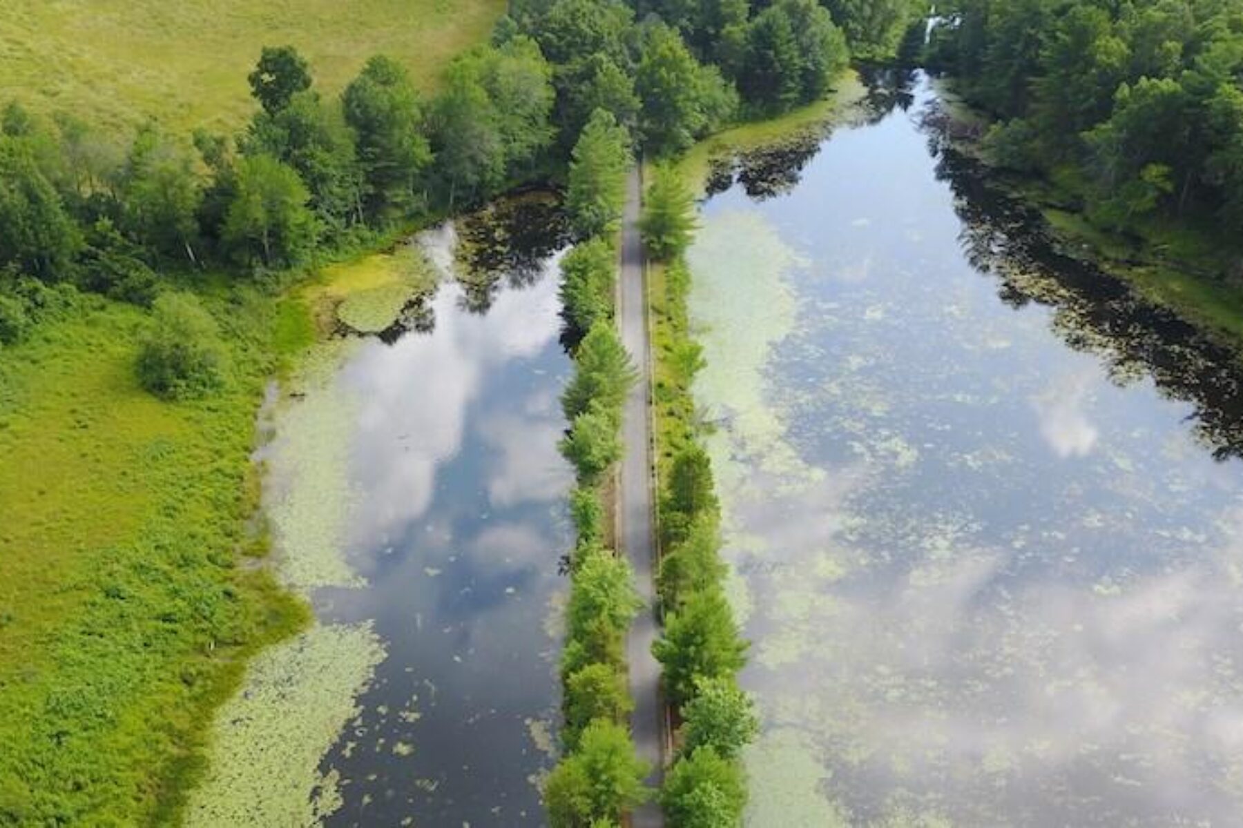
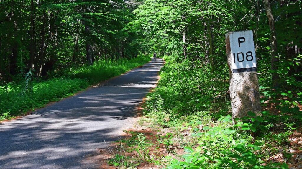
New England in autumn is nature’s spectator sport, and a special place to view its riotous colors is the Nashua River Rail Trail, spanning just over 12 miles in Massachusetts and spilling into New Hampshire. Maples, oaks, beeches and birches adorn the paved pathway that connects a handful of quaint towns northwest of Boston. Keen-eyed observers will note a few granite posts along the way; these century-old structures in the woodlands’ quiet—marked on one side with a ‘W’ and the mileage to Worcester, and on the other side with a ‘P’ and the mileage to Portland, Maine—offer whispers of the trail’s raucous railroad past.
“I like the stretch between Pepperell and Groton because it offers the closest views of the Nashua River,” said Steve Kalter, who co-chairs the Friends of the Nashua River Rail Trail. “And there’s plentiful wildlife along the trail. People have seen bald eagles, owls, deer and turkeys that run across the trail, but my favorite is seeing the swans on the river. That always makes my day.”
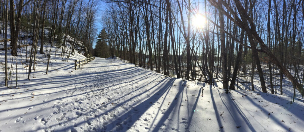
Bright splashes of color of the manmade kind also adorn two underpasses in Groton, toward the southern end of the trail. The murals, painted by local art students, depict the corridor’s history, from steam-engine trains to the rail-trail, and showcase the diverse mix of present-day travelers, including walkers, bicyclists, equestrians, wheelchair users and skiers enjoying the trail through the seasons.
Community Connector
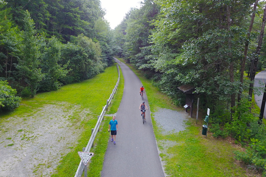
Roughly midway, a few shops and eateries surround the trail in Pepperell (nearly everyone interviewed noted that there’s a popular ice cream shop here), making it an optimal lunchtime goal, or a nice turnaround point for shorter walks and rides. At its southern end in Ayer, an MBTA station serves a commuter rail line that runs to Boston, opening up access to the trail’s beautiful natural settings for urbanites and tourists. Making things even easier: Bikes are allowed aboard the trains.
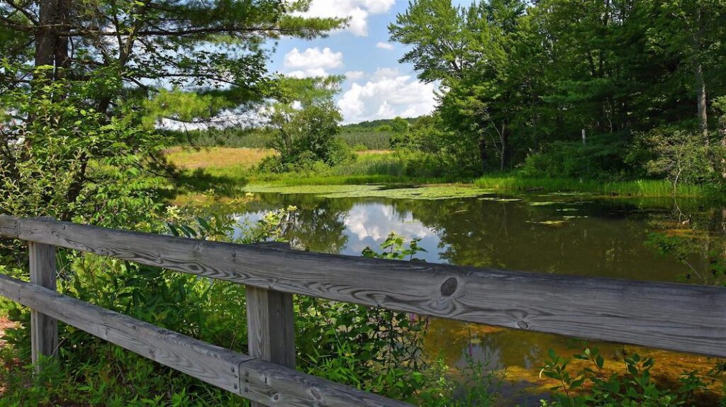
Nashua, New Hampshire, on the opposite end of the trail, offers a mile-long section terminating at a picturesque pond framed by trees. With a mix of on-road riding and connections to other local trails, travelers can patch together about an 8-mile route from there into downtown to enjoy city amenities.
This northern section of the trail was the last to fall into place and came together very quickly; Nashua City Planner Roger Houston recalls it taking less than 30 days to complete once construction started. Just as quickly, it became a well-loved community asset. An adjacent subdivision even named all its streets after bicycle brands, like Schwinn, Diamondback, Trek and Huffy.
“It’s amazing how many kids don’t have anywhere to bicycle, especially in New England with its narrow, busy roads,” said Houston. “As soon as we opened this trail, we saw a lot of kids—and a lot of older people, too—riding their bicycles. People would come up to us, and they were just so grateful.”
It Takes a Village
With so much going for it, it’s no surprise the rail-trail sees a lot of use, especially on warm, sunny weekends. Given that the trail opened in 2002, some sections were recently in need of repair and repaved just a few years ago; additional paving is planned to smooth out the rest of the trail in the future. Unfortunately, one of the trail’s best assets, its tree buffer, can also make upkeep challenging with downed branches, leaf debris and root upheavals.
Although Massachusetts, like many states, faces constraints on budget and staff time to manage a large number of trails across a large territory, a stalwart local volunteer group—the Friends of the Nashua River Rail Trail—has stepped up to support the efforts of the state’s Department of Conservation and Recreation (DCR) to keep the Nashua River Rail Trail in good working order.
“We just got a half-dozen of our members officially approved to use chainsaws,” said Kalter. “They have to go through a course that’s provided by the state and that will allow us to go on the trail with DCR’s permission to alleviate some of the work. We can do it on our own now, and we have people that are willing to do it for free on volunteer time. DCR is maintaining a lot of trails besides the Nashua River Rail Trail, so they’re happy to have us, and we work closely with them.”
Judy Lorimer is one of the members who took the chainsaw course and can’t wait to get out there this fall to tidy up the equestrian pathway adjacent to the paved rail-trail. A section of it has become overgrown, and she looks forward to taking Sweetpea, her bay mare, out for more rides on the trail once the work is completed. For equestrians, the rail-trail serves as an important conduit to the J. Harry Rich State Forest as well as other conservation lands and riding trails in the area.
“I moved to Pepperell in 1976, and at that time, the rail-trail was still a railroad,” said Lorimer. “I belong to a couple of different horse organizations, and when we heard that they were going to convert it to a rail-trail, we went to a lot of meetings and put in a plug for equestrian access—and so they did! They left an unpaved trail that parallels the bike trail.”
Trail Tip
For her fellow trail-goers, Lorimer recommends calling out when passing a horse, as a bicyclist coming up fast and quiet behind them might give a horse the impression that a predator is approaching and make them fearful. A human voice is also preferred over a bell, which could startle them.
A River Revolution
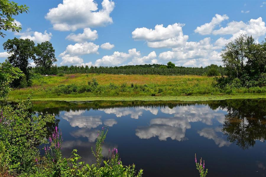
Another volunteer, Marion Stoddart, also exemplifies this unfaltering work ethic and dedication to the cause. Even at 91, she rarely misses a trail cleanup event organized by the Friends group. Prior to her work on the trail, Stoddart’s first passion was the recovery of the Nashua River, which much of the pathway parallels. After being used as a dumping ground for decades, the river was in terrible condition when Stoddart first moved to Groton back in 1962.
Lorimer, also a longtime resident, remembers once riding her horse near the railroad tracks, but the smell from the river was so bad that she turned around and went back home. “The river was so polluted—one of the worst in the country,” she said. “Every town along the river was dumping their raw sewage into it, and there were paper mills and plastic factories dumping industrial waste.”
Stoddart rallied thousands of citizen activists around the issue, which pushed lawmakers to enact the Massachusetts Clean Water Act in 1965, becoming the first state in the country to pass clean water legislation. Just this month, Stoddart was honored for her work at the 50th anniversary event for the Nashua River Watershed Association, the organization she founded to clean up the waterway.
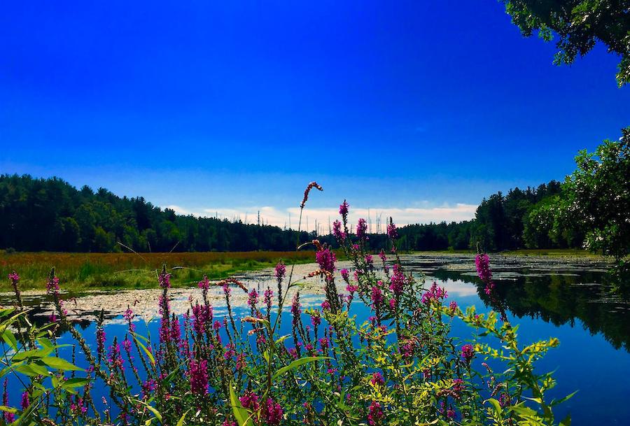
“The Nashua River literally ran psychedelic colors—reds, blues, greens, yellows—from all the different types of chemicals that were being dumped into it in the 1940s, 50s and 60s,” said Dwayne Ericson, the DCR’s Central Highlands District Manager. “Today, it’s pristine! And it’s because of all the hard work from the watershed association bringing the issue to light, talking about the science, good stewardship and pollution control, and getting everyone onboard. Now, the river is a recreation resource, used for canoeing, kayaking and fishing, and the rail-trail runs right beside it.”
In reflecting on her own legacy and of those who tirelessly supported these efforts, Stoddart notes the intertwined significance of both river and trail. “We got the river cleaned up, and at the same time, we were working to protect the land along the river for conservation and recreation,” she said. “There are innumerable reasons why the Nashua River Rail Trail is important. It’s very important to have natural vegetation along the river to help filter pollutants and to store water to be released gradually into the river. The greenway offers a 300-foot buffer between the land and the river, preventing any development along the river’s edge. It protects the river from pollution and from runoff, and provides a habitat for wildlife. It’s a corridor for both wildlife and people to move.”
Having recently moved to the adjoining town of Ayer after more than 50 years in Groton, Stoddart loves that she can now ride from the southern end of the trail to its northern tip, and enjoys seeing all the use it gets.
“I live very close to the Nashua River Rail Trail, so I can ride my bicycle from where I live to get on the trail,” she enthused. “The other day, I rode my bicycle up into Nashua. I figure riding there and back, I rode about 25 miles! I really, really enjoyed it and, on my way back, I stopped in Pepperell and got a root beer float.”
Related Links
- Friends of the Nashua River Rail Trail
- Nashua River Watershed Association
- City of Nashua cycling page
- Massachusetts Department of Conservation & Recreation
Trail Facts
Name: Nashua River Rail Trail
Used railroad corridor: The original right-of-way was built by the Worcester & Nashua Railroad, which began servicing the corridor in 1848. The line was later acquired by the Boston & Maine Railroad.
Trail website: Massachusetts Department of Conservation & Recreation
Length: 12.3 miles
County: Most of the trail lies in Middlesex County, Massachusetts; over the border in New Hampshire, a short section of trail is open in Hillsborough County.
Start point/end point: Park Street and Main Street (Ayer, Massachusetts) to Gilson Road and Country Side Drive (Nashua, New Hampshire)
Surface type: The rail-trail is an asphalt pathway with a paralleling unpaved equestrian trail for much of the route, from the Ayer town line to the New Hampshire state line.
Grade: The trail is relatively flat, though there is a slight downhill grade as you travel south to north.
Uses: Walking, bicycling, inline skating, horseback riding, fishing, cross-country skiing; wheelchair accessible
Difficulty: With a paved surface and gentle grade, the rail-trail is suitable for all ages and abilities.
Getting there: The Ayer train station (70 Main St.), located across the street from the southern end of the rail-trail, is served by the Massachusetts Bay Transportation Authority (MBTA) commuter rail, which provides daily service to Boston. Bicycles are allowed aboard the trains.
To arrive by plane, Boston Logan International Airport (1 Harborside Drive, Boston) is about 45 miles from the southern end of the trail in Ayer. Two smaller airports are also nearby: Worcester Regional Airport (375 Airport Drive, Worcester, MA), about 35 miles from the southern end of the trail, and Manchester-Boston Regional Airport (1 Airport Road, Manchester, NH), about 20 miles from the northern end of the trail in Nashua.
Access and parking: Parking is available in each of the towns the trail connects (south to north): Ayer, Groton, Pepperell, Dunstable and Nashua; for specific locations, visit the Massachusetts Department of Conservation & Recreation website.
To navigate the area with an interactive GIS map, and to see more photos, user reviews and ratings, plus loads of other trip-planning information, visit TrailLink.com, RTC’s free trail-finder website.
Rentals: Goodale’s Bike Shop (14B Broad St., Nashua; 603.882.2111), located about 6 miles from the northern end of the rail-trail, offers mountain, road and hybrid bikes for rent.

Donate
Everyone deserves access to safe ways to walk, bike, and be active outdoors.
