Pennsylvania’s Mahoning Shadow Trail
Trail of the Month: February 2019
“When we have those beautiful days in early spring, it’s like a traffic jam.”
—Matt Taladay, president of the Punxsutawney Area Rails-to-Trails Association
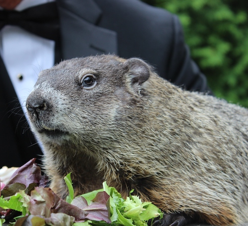
For one midwinter day each year, the world turns its attention to the small western Pennsylvania town of Punxsutawney, where legendary groundhog Punxsutawney Phil emerges from his stump, looks for his shadow and shares his insight on how much longer winter will last. Phil’s sage wisdom has been revered since 1886 when his first forecast was published in the local newspaper, and it was around that time that railroad agents began buying up land in and around Punxsutawney to build the rail line that would eventually, more than a century later, become the Mahoning Shadow Trail.
Interrupted Intentions
Western Pennsylvania had a booming coal industry during the late 1800s, and a number of coal mines and coke ovens sprang up along Mahoning Creek, a tributary of the Allegheny River that runs through the heart of Punxsutawney. To connect these resource centers with the major markets in Pittsburgh and Altoona, the Pennsylvania Northwestern Railroad was plotted out and developed in the 1880s.
Unfortunately, before the plans were fully executed, construction on the western end of the line stalled about 4 miles southwest of Punxsutawney in the village of Fordham, and the railroad never made it the whole way to Pittsburgh. On the eastern end, however, it linked up with the greater Pennsylvania Railroad network at the village of Cresson, about 40 miles southeast of Punxsutawney. Along the way, it provided passenger and freight service to several tiny villages, including Winslow, Cloe, Clayville, Sportsburg, Horatio and Fordham, in addition to the larger borough of Punxsutawney.
The Pennsylvania Railroad ultimately absorbed the Pennsylvania Northwestern line, and passenger service continued until the 1940s. Freight service still ran along the line into the 1980s until the railroad deactivated it and sold off the land section by section to private buyers.
Community Collaboration
Fortunately for the town of Punxsutawney, two prominent, community-focused local families bought several miles of corridor to the east and west of town. In the early 1990s, talks began on how the property could be transformed into a recreational resource.
“A community in nearby Cambria County had developed the Ghost Town Trail, and the Chamber in Punxsy wanted to see if it was feasible in our area,” said Matt Taladay, president of the Punxsutawney Area Rails-to-Trails Association. “The railbed in Punxsy was already being informally used as a trail.”
In the spring of 1994, a group of Punxsutawney citizens met for the first meeting of the Punxsutawney Rails-to-Trails Association and began working out plans to formally develop the line as a trail.
“One of the folks at the meeting was Butch Prushnok,” Taladay said. “He was the president of the company that owned 7 miles of the railroad. It was fortunate that another 7 or so miles were owned by Osikowicz family.”
The owners of the properties were on board with the trail project, but it took several years to complete the formal acquisition process. The association aligned with the Jefferson County Department of Development through multiple grant applications, significant research into property deed history, and lots and lots of paperwork. State representative Sam Smith also helped considerably with letters of support and advice on the correct departments to consult as the association waded through the grant process.
Finally, by January 2000, the county, the association, and David and Debbie Osikowicz had worked out purchase details for the Osikowiczes’ 7.3 miles of the trail corridor between Indiana Street in Punxsutawney and Fordham Road in what is now known as Valier. Using matching grant money, the county bought the segment for half of its appraised value, and after the sale went through, the Osikowiczes generously donated the purchase amount to the association for trail development. Brothers John (“Butch”), George and David Prushnok executed a similar deal for the 7.1 miles they owned between the Punxsutawney Skate Park downtown and Winslow Road on what would become the trail’s eastern terminus.
“It took a long time to convince the state government that the owners had the deed titles versus just right of way,” Taladay said. “I spent countless hours reading old, handwritten deeds from the 1800s.”
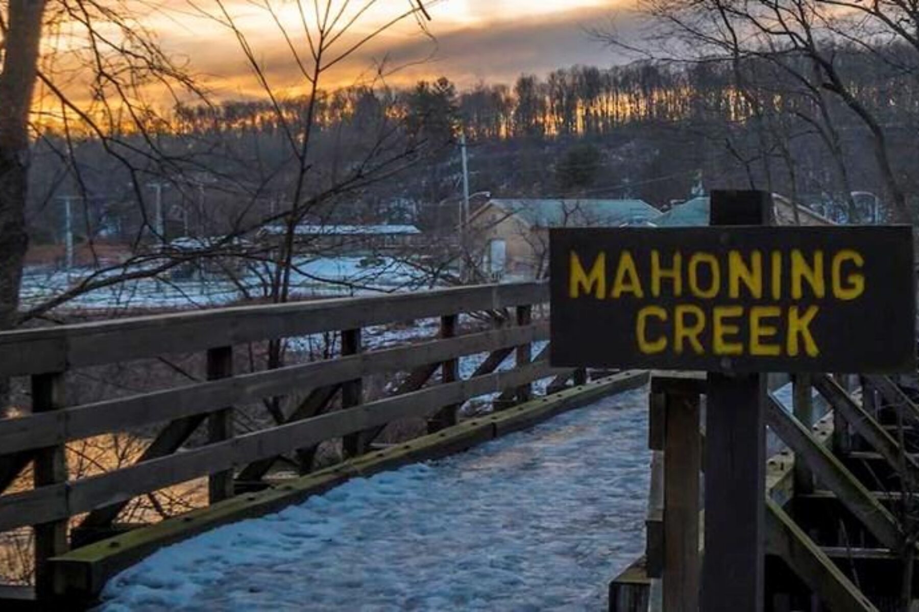
Trail development started with the Mahoning Creek Bridge near Water Street, which the association refurbished and redecked in 2000. The association and the county Department of Development pursued federal grant money to develop the rest of the trail, and the first grant came through in 2002. This funded construction of Phase I, the western section formerly owned by the Osikowiczes, which opened to the public in late 2002. Another federal highway program grant came through for Phase II, the eastern section formerly owned by the Prushnock brothers, and that segment opened in 2004.
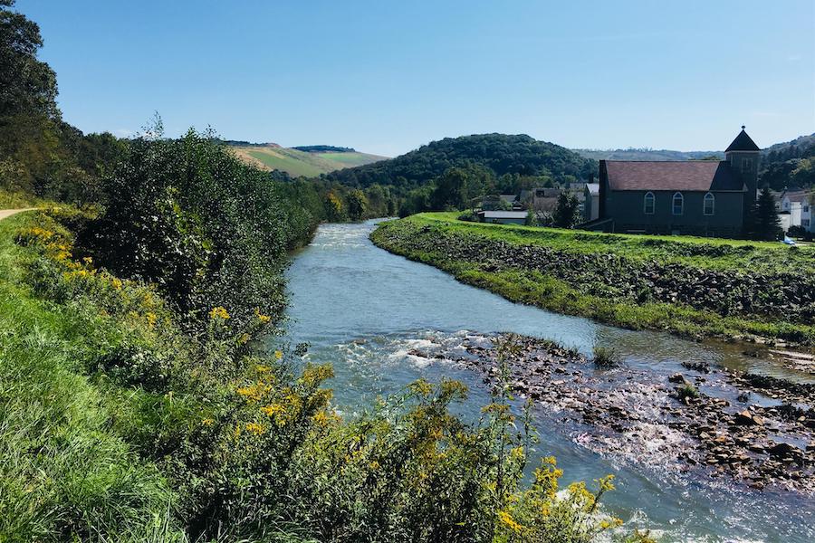
The middle portion, about a mile between Phases I and II, was a little more challenging to complete. This section of the original rail corridor on the north side of Mahoning Creek had been sold off to multiple buyers, and several buildings now stood on the original route. Furthermore, flooding damaged the completed Phase I shortly after it opened, and funds earmarked for an underpass at Penn Street in Phase III had to be redirected to make repairs. To join the two sections, the association and the Department of Development worked out an agreement with the Punxsutawney Borough to pave a walkway on the south side of the creek along the town’s flood-control dike and slope the path up to cross Penn Street. The trail had changed somewhat from what its organizers had envisioned at the beginning, but it beautifully accomplished their goal and created a useful recreational resource for the town of Punxsutawney and the small communities flanking it. In 2006, it was designated a National Recreation Trail.
Route Highlights
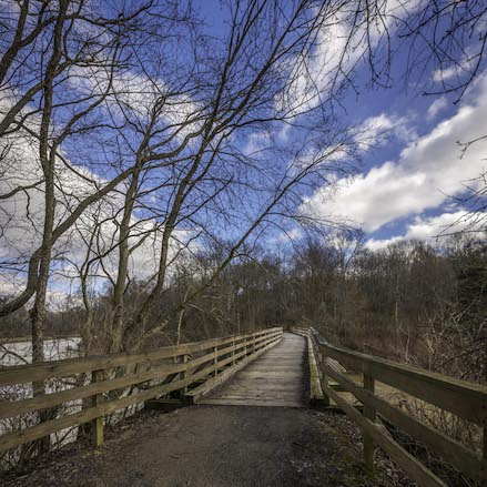
As the project began to come together, the association considered several options for the trail’s name. A popular possibility was the Groundhog Trail, in honor of Punxsutawney’s most famous resident, but association secretary Susan Wolfe came up with the winning name.
“As the trail goes through all these small towns, it ‘shadows’ Mahoning Creek,” said Wolfe. She also liked the idea of alluding to the Groundhog Day legend of Phil looking for his shadow but wanted the name to be a bit more clever than referring to him outright.
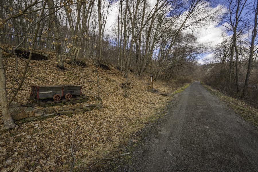
A popular point of interest along the trail is the set of coke ovens between the Fordham and Water Street trailheads. These industrial relics smelted raw bituminous coal into coke, a fuel used in the steelmaking process.
“A lot of Punxsutawney High School students cleaned up the whole area there and restored this whole little hillside,” Wolfe said. “About eight (coke ovens) are in wonderful shape.”
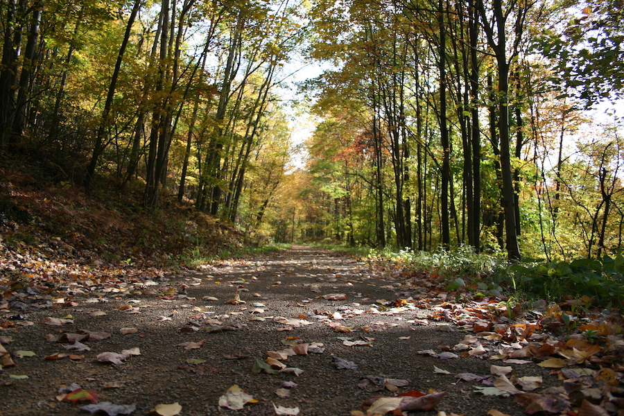
The trail stays under tree cover for most of its route to the east and west of town, which contributes an additional element to the “Shadow” portion of its name.
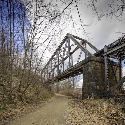
The trail also crosses over two and under three bridges along its 15-mile route, including a railroad truss bridge about half a mile east of the Water Street trailhead. The rail line and the trail run parallel between the trailhead and the bridge. Trail users also get some see several of Punxsutawney’s other recreational assets along the way, including baseball fields, a swimming pool, a playground and a skateboard park. Punxsutawney Phil’s burrow is at the town library on the edge of Barclay Square, the town’s central park, and trail users can detour a few hundred feet off the trail at Penn Street to go visit him or join in on one of the town’s many festivals at Barclay Square throughout the year.
Ongoing Plans
Each year, the Punxsutawney Rails-to-Trails Association holds a Rails to Trails Dance as well as a Mahoning Shadow Shuffle run as fundraisers for trail maintenance, but volunteers and donations are really what keep the trail going. Significantly, the Osikowicz family owns a quarry and donates materials for surfacing, and the Prushnoks own a coal company and volunteer the services of their trucks. Many locals have adopted sections that they keep clean on their own volition; the association is working out plans for a tribute to two noteworthy volunteers, Howard Glessner and Jack Sisk, both of whom have contributed greatly to the upkeep of the trail.
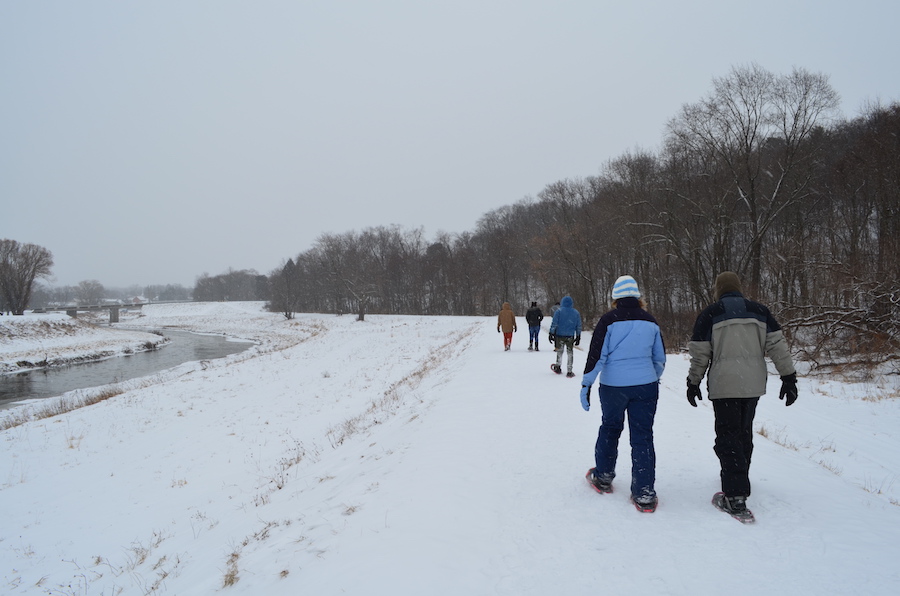
“More people than we could mention make it work, a lot of whom prefer to remain anonymous,” Taladay said.
Construction on two bridges in town has required some temporary detours for the trail, so even though it’s been open for 15 years, it’s anything but a static project. Regardless, “I can’t think of anyone in Punxsy who hasn’t used it,” Wolfe said. “When we have those beautiful days in early spring, it’s like a traffic jam.”

Donate
Everyone deserves access to safe ways to walk, bike, and be active outdoors.
