Nevada’s Lower Las Vegas Wash Trail
Trail of the Month: April 2015
“Trails are the great equalizer. It’s the simplest thing to do: Put on shoes, go outdoors, and find a trail to get healthy.”
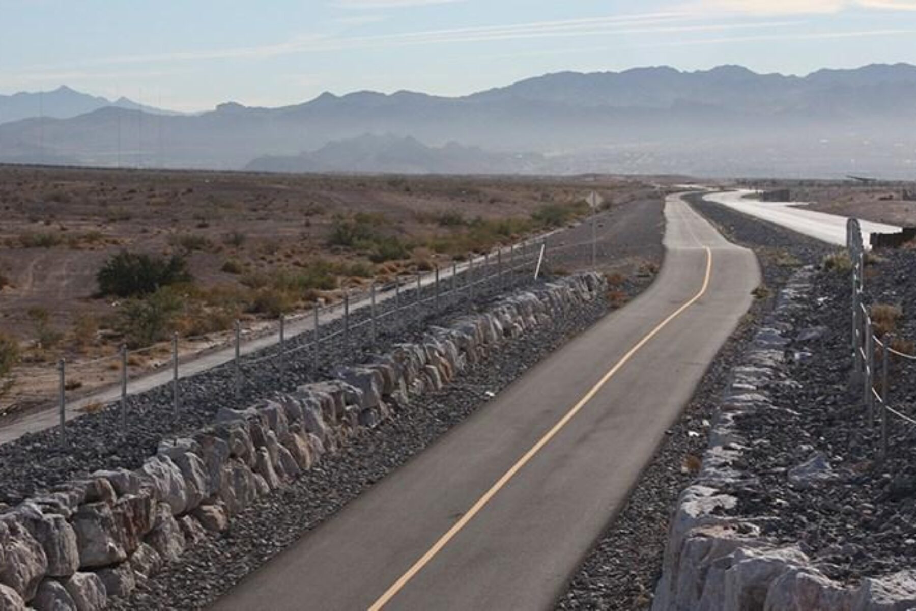
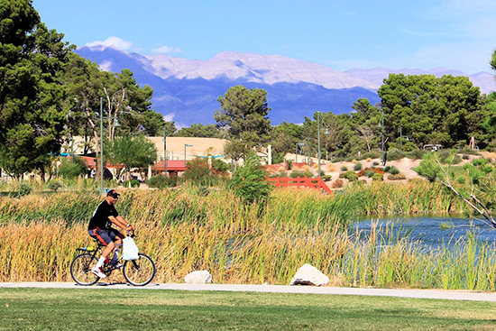
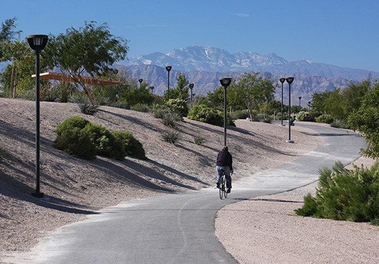
Las Vegas: The name conjures up bright lights, flamboyant shows, glitzy hotels and casinos that never close, but a growing outdoor movement is changing that perception. The Las Vegas Valley that encompasses the city of a thousand lights has a thousand miles of trail, including the developing Vegas Valley Rim Trail, which will encircle the valley and connect some of the state’s greatest treasures—like sapphire-blue Lake Mead, the jaw-dropping Hoover Dam and the newly dedicated Tule Springs Fossil Beds National Monument where mammoths, American lions and dire wolves once roamed. Already in place is the 13.4-mile Lower Las Vegas Wash Trail, which comprises the trail network’s eastern arc and is always a sure bet with beautiful parks, desert landscapes and vistas of the rugged mountains that ring the valley.
“Our trails are our best, least-told stories,” says Mauricia Baca, executive director of the Outside Las Vegas Foundation, a nonprofit that facilitates coordination between the cities, county and other entities concerned with open space and trails in the region. “They’re a wonderful asset, but every day I meet someone that doesn’t know about our trails and parks.”
Helping to get the word out is Neon to Nature, an initiative driven by the Southern Nevada Health District to brand and promote the region’s vast system of trails. It’s building public awareness with a searchable trail-finder website and newly launched mobile app.
“Their motivation is combating obesity,” says Baca about the health district. “Trails are the great equalizer. It’s the simplest thing to do: Put on shoes, go outdoors, and find a trail to get healthy.”
With a growing trail system crossing so many jurisdictional boundaries, a concerted effort was needed. “Trails were the one thing that brought us all together,” reflects Connie Diso, a project engineer for the City of Las Vegas Public Works Department. “Before the trail effort in the Valley, all the entities were concerned with their own developments.” Now, she says, monthly collaborative meetings for the regional working group are actually fun. “There’s that recreational aspect that created a bond between those entities; we were happy to talk about trails!”
Scott Hagen, a senior planner with Clark County, expressed a similar sentiment. “If you were sitting in one of our meetings, you’d think, ‘Wow! All this is happening in southern Nevada?’ There are so many facets. We’ve finally gotten a lot of horsepower in the last dozen years.”
A boon for the Valley’s outdoor recreational projects came in 1998 with the passage of the Southern Nevada Public Lands Management Act, which allowed the money earned from the sale of federal lands to be used for local parks and trails. In a western state like Nevada—where the federal government owns more than 80 percent of the land—the law had a huge impact on the funding and construction of these projects.
Although the desire and funding fell into place for trails, in a densely populated area like Las Vegas, finding space to put them proved challenging. The Las Vegas Wash, a drainage channel that feeds into Lake Mead, provided the opportune corridor. The main spine of the trail, dubbed the “Lower” Las Vegas Wash Trail, was built parallel to the waterway for most of its journey; a shorter, 3.5-mile spur, dubbed the Upper Las Vegas Wash Trail, branches off at Alexander Road. The wash itself is a mixture of concrete-lined channel and natural stream bed.
Now nearly complete, the Lower Las Vegas Wash Trail stretches more than a dozen miles from North Las Vegas, through Las Vegas and into Clark County. Only a half-mile gap between Stewart Avenue and Charleston Boulevard remains; the gap’s closure—which will be coupled with the construction of a new pedestrian bridge and a flood control project—is expected to be completed in 2018.
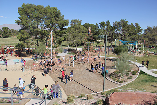
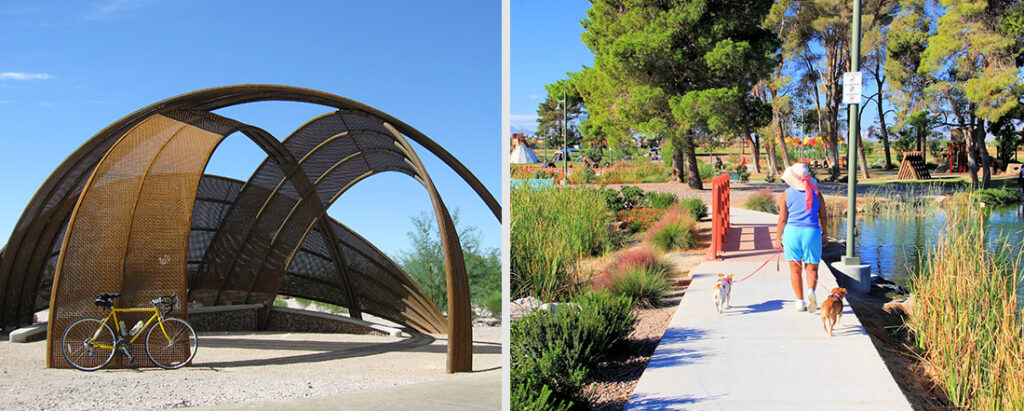
With an outstanding recreational gem at either end, the trail is heavily used. On its northern end, Craig Ranch Regional Park, which opened in 2013, was once a golf course and offers rolling terrain, community gardens, athletic fields, an elaborate playground and one of the country’s largest skate parks. City planners want to extend the trail farther north to Floyd Lamb Park, the gateway to Tule Springs, to connect visitors with the park’s equestrian pathways and nature walks, picnic areas and showy peacocks running wild (this is Vegas after all).
On the trail’s southern end, the pathway seamlessly blends into the 18-mile Flamingo Arroyo Trail, which continues the route southeast along the wash to something unexpected in the Mojave Desert: the nearly 3,000-acre Clark County Wetlands Park. Like a fabled oasis in an area that sees only about four inches of rain a year, the park offers a vibrant green swath teeming with wildlife amidst the quiet tans, warm grays and rosy browns of the desert backdrop. From the southern end of the park, adventurists can hook up to the scenic River Mountains Loop Trail to journey on to Lake Mead and the Hoover Dam.
“Get out of the casinos,” advises Diso. “There’s so much out here, and it’s beautiful.”

Donate
Everyone deserves access to safe ways to walk, bike, and be active outdoors.
