Top 10 Trails in Michigan
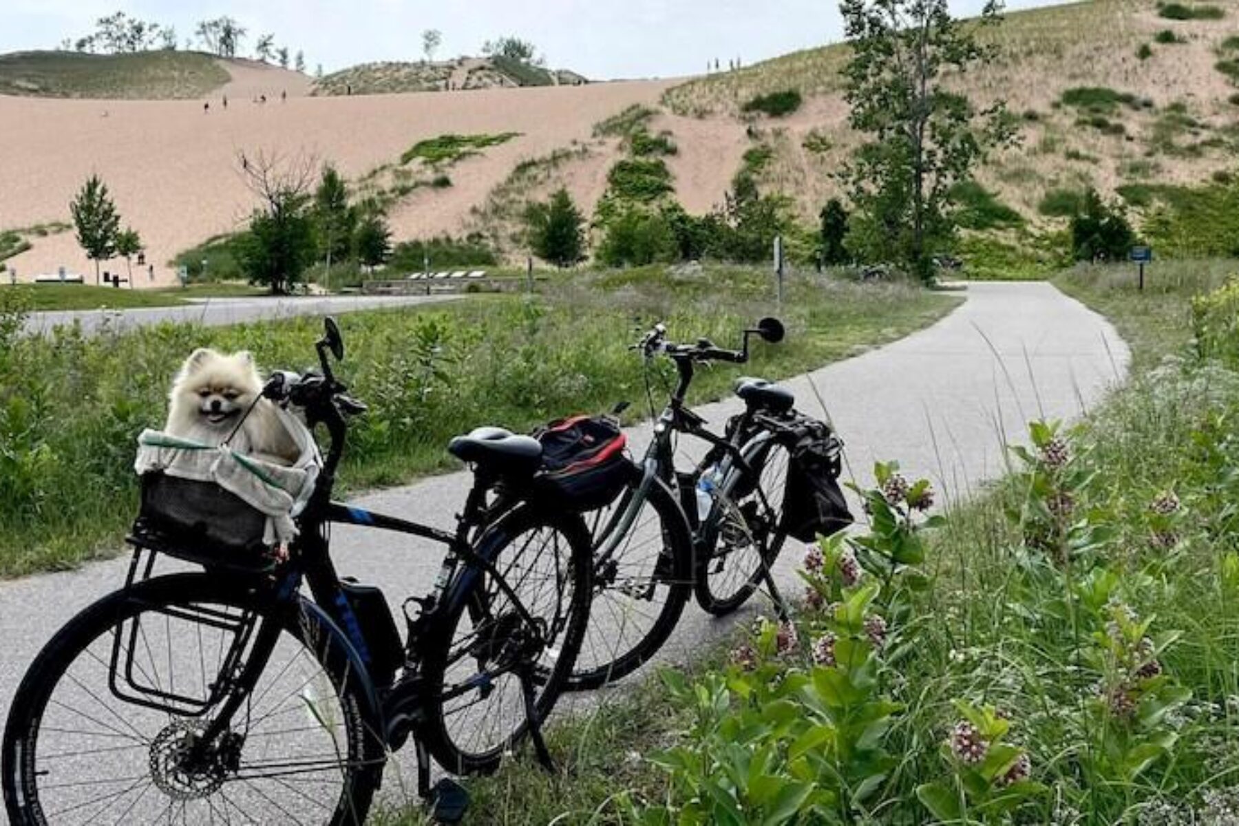
Michigan is home to an intricate and expansive network of multiuse trails. With 2,478 miles of rail-trails, trail users can easily weave through all parts of the state, getting a glimpse into both urban and rural environments. Michigan is also positioned in the perfect spot for breathtaking views of the Great Lakes—the state touches four of them—and the surrounding scenery. With so many beautiful trails to enjoy, here are just 10 of our favorites.
William Field Memorial Hart-Montague Trail State Park
Counties: Muskegon, Oceana
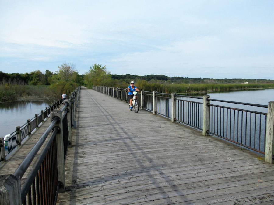
The William Field Memorial Hart-Montague Trail State Park rolls through 22.7 miles of orchards, farms and forests. This trail was named after the late William Field, who pioneered its creation in the 1980s even when his fellow Oceana County commissioners didn’t see the value in converting an old railroad corridor into a trail. Now, a favorite among locals, this western Michigan trail offers an alternative form of transportation from Hart to Montague.
Nearby attractions include the world’s largest weathervane, which can be seen after only a 0.2-mile detour on the connecting Medbery Bike Trail. This structure stands at 48 feet tall and is topped by a replica of a 19th-century local schooner named Ella Ellenwood. Beyond having convenient connections to trails like the Fred Meijer Berry Junction Trail and the White Lake Pathway, the William Field Memorial Hart-Montague Trail State Park runs near the breathtaking beaches and giant sand dunes of Silver Lake and Lake Michigan. With Christmas tree farms and nature preserves along the way, there is much to see along the route.
Kal-Haven Trail State Park
Counties: Kalamazoo, Van Buren
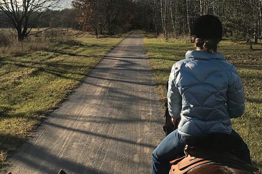
Linking the towns of Kalamazoo and South Haven is the 34-mile, crushed-limestone Kal-Haven Trail. More than half a dozen former railroad towns along its route offer areas for rest and replenishment, and the trail runs through many captivating landscapes, like lush greenery and open rolling fields.
About midway, the Bloomingdale Depot Museum highlights railroad and local history. The Kal-Haven Trail also passes by towns, like Kibbie and Bloomingdale, which have blueberry farms offering “pick yourself” services, and South Haven hosts the annual National Blueberry Festival in August. Near the end of the trail, a short bike route into South Haven provides passage to the South Pier Lighthouse, which stands over the Black River and dates back to the 1870s. Nearby, North and South beaches offer fun places to cool off in Lake Michigan.
Leelanau Trail
Counties: Grand Traverse, Leelanau
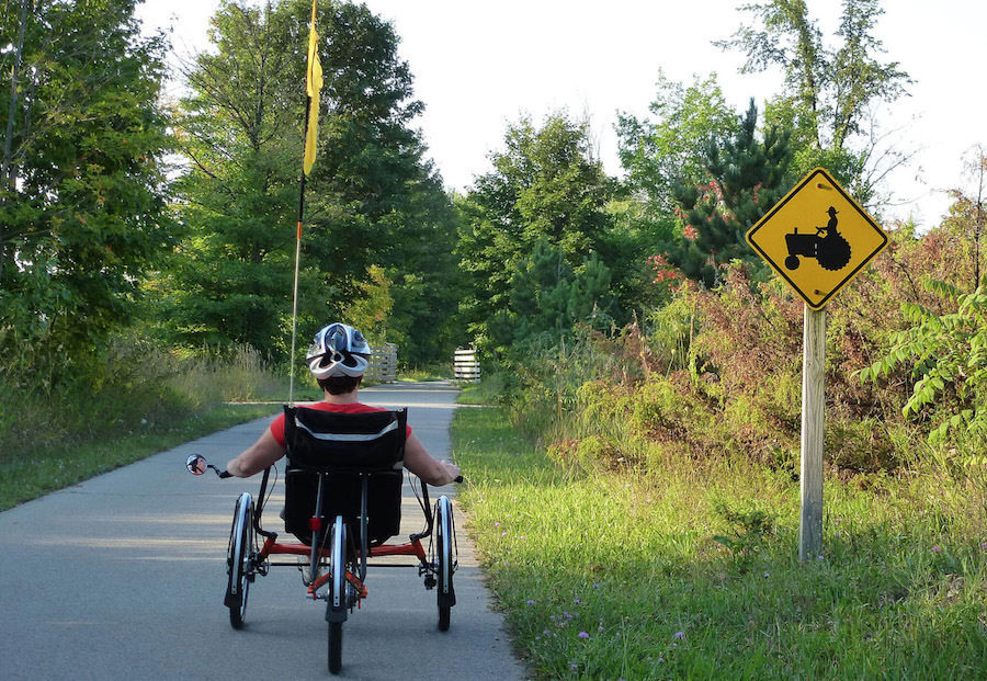
The Leelanau Trail connects Suttons Bay and Traverse City—two popular tourist destinations that offer a multitude of activities. This area of northern Michigan is known for its cherry orchards and grape vinyards that offer bucolic views along the length of the trail. Trail users can enjoy places like Leelanau Conservancy’s DeYoung Farm, which offers the opportunity for a fun time picking your own blueberries, plums, apples and other fruits.
Just shy of 17 miles, the Leelanau Trail weaves through towns that have shops, bed-and-breakfasts, restaurants and cafés conveniently available to trail users. Located 6 miles past Bingham is the DeYoung Natural Area, a 145-acre preserve that has hiking trails and access to Cedar Lake. The Leelanau Trail ends with a seamless connection to the Traverse Area Recreation and Transportation Trail, a 13-mile route that heads southeast through Traverse City.
Iron Ore Heritage Trail
County: Marquette
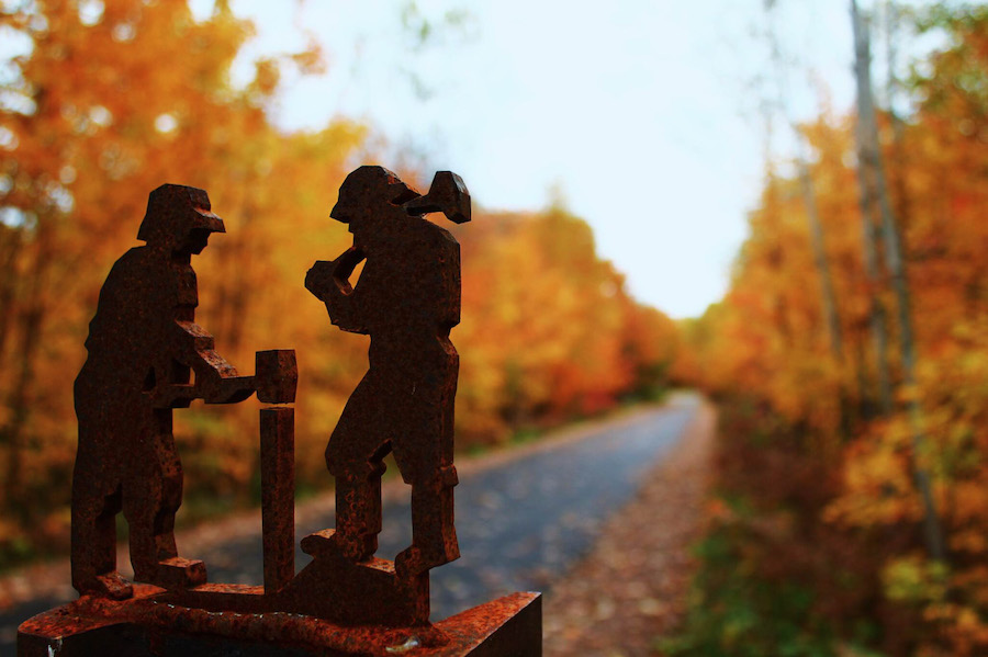
Located in Michigan’s Upper Peninsula, the 47-mile-long Iron Ore Heritage Trail, showcases the region’s rich mining history with interpretive signage and artwork. Along the way, mining shafts, forges, furnaces and other historical structures give a glimpse into a bygone era.
In the winter, snowmobiles are allowed on the 28-mile portion that runs from Ishpeming east to Chocolay Township. The ski town of Ishpeming, about midway along the route, also opens possibilities for participating in other winter activities. From Ishpeming west to Republic, the dirt pathway is open for hikers, equestrians, mountain bikers and ATV users. The Iron Ore Heritage Trail connects to the Marquette Multi-Use Path and continues farther east to its end on Kawbagam Road in Chocolay Township.
Dequindre Cut Greenway
County: Wayne
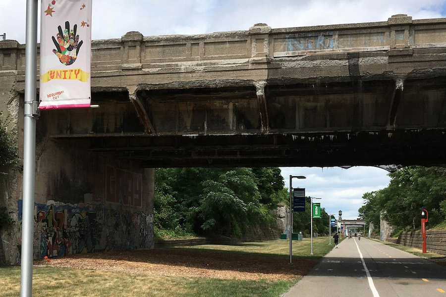
The Dequindre Cut Greenway is a paved path nearly 2 miles long in downtown Detroit. Weaving through this urban setting, the trail features separate lanes for both bicyclists and pedestrians. This corridor, sunk 25 feet below street level (hence the “Cut” in its name), was used for a railroad in the 1920s. Rail service was discontinued in the 1980s and the corridor sat vacant for many years acquiring graffiti art by local artists and youth. Now, a widely used path, the graffiti murals are one of the most beloved assets of the greenway.
Its northern end runs through the heart of the Eastern Market commercial district and the Wilkins Street Plaza, which features bike racks, shade and seating options for trail users wanting to take a break and enjoy the bustling streets of Detroit. At the trail’s southern end lies the Detroit River and a connection to the Detroit RiverWalk, which follows the waterway and links to a handful of parks and plazas.
Pere Marquette Rail-Trail
Counties: Clare, Isabella, Midland
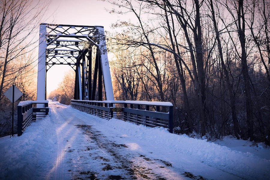
Along its 30 miles, the Pere Marquette Rail-Trail links a handful of quaint towns, which offer convenient services and rest stops for trail users. Scenic views of bridges, forests and historical sites add to this trail’s popularity as it connects Midland and Clare. The Midland Area Farmers Market (open in season on Wednesdays and Saturdays) is a great starting point for this trail and offers access to other destinations like The Tridge, a three-span bridge.
Traveling on smooth asphalt, the Pere Marquette Rail-Trail offers a relaxing experience through the woodland and agricultural environments of central Michigan. While traveling on this trail, riverside parks, cultural attractions and picnic spots can be found at Emerson Park, Dahlia Hill and the Herbert Dow Museum. The Hall of Fame rail-trail offers a balance of both urban and rural sites as shops and restaurants are mere miles from lush greenery and peace and quiet.
Sleeping Bear Heritage Trail
County: Leelanau
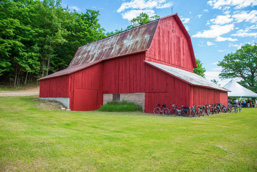
The Sleeping Bear Heritage Trail winds 21 miles through the Sleeping Bear Dunes National Lakeshore on Lake Michigan. In addition to breathtaking views of the waterfront, the trail offers a peek into Midwestern turn-of-the-century farm life with the nearby Port Oneida Rural Historic District, populated with more than a hundred buildings and farming sites.
At the town of Glen Arbor, trail users can access grocery stores, restaurants, a bike-rental shop and rest stops. The Sleeping Bear Heritage Trail also offers entrance to the Dune Climb, which provides a clear view of Glen Lake below. This climb can be strenuous as it is a 20% grade on loose sand, so be sure to be prepared with sturdy shoes, water and a hat to protect from the sun. Heading south from the Dune Climb, the trail winds through a forested area. In Empire, on the southern end of the trail, rest stops, sandy Lake Michigan beaches and restaurants are available.
Macomb Orchard Trail
County: Macomb
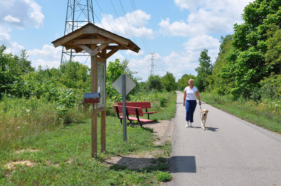
Spanning 23.5 miles, the Macomb Orchard Trail takes visitors from Rochester’s suburbs north of Detroit to the rural settings surrounding Richmond. Here, apple and peach orchards are abundant—only adding to the idyllic trail experience.
Beginning on the outskirts of Rochester, the route leads into the countryside where pick-yourself apples, peaches, cherries and strawberries are available in season, and a cider mill operates in the fall. At the 10-mile mark, Romeo’s Main Street historic district is only a half-mile away and offers antiques shops and cafés. Through the town of Armada, this trail receives ample shade as it is surrounded by thick brush and greenery. Armada has much to offer, including the Armada Fair in August and Cider Dayze, a craft cider and beer festival in September.
Kent Trails
Counties: Kent
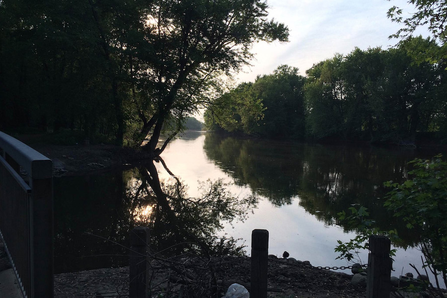
The Kent Trails system is a great choice for commuters and those wanting to see Michigan from a different perspective. The southern portion of this trail route offers views of streams, fields and woods, while the northern portion borders Grand Rapids’ namesake river—showcasing wetlands, bridges and lush greenery.
The Kent Trails are well-connected and allow travelers access to Paul B. Henry Freeway, Buck Creek Trail and Grand River Pathway. Along the Kent Trails, the Hopewell Indian Mounds Park as well as Millennium Park are accessible. Millennium Park is one of the nation’s largest urban parks, totaling 1,400 acres and showcasing beaches and unique art. The Kent Trails end at Johnson Park, which offers picnic areas, parking, restrooms and water.
Fred Meijer White Pine Trail State Park
Counties: Kent, Mecosta, Montcalm, Osceola, Wexford
The Fred Meijer White Pine Trail State Park is Michigan’s second longest rail-trail! Stretching 92.6 miles, this trail showcases a variety of settings, including farmland, forests and busy towns. It connects northern Lower Michigan to Grand Rapids with camping, lodging, rest stops and food options available along the way.
Starting near the West Michigan Whitecaps minor league baseball stadium in Comstock Park, the trail crosses historical railroad trestles on its way to Rockford. In Rockford, there are perfect picnic opportunities overlooking the Rogue River Dam. Running through Paris Park, the trail offers access to cabins, a canoe launch and a fishing concession along the Muskegon River. With no lack of fun activities, the Fred Meijer White Pine Trail ends at Lake Cadillac, where trail users can enjoy swimming and outdoor concerts in a beautiful outdoor amphitheater.
This blog was updated from a 2013 version.
Honorable Mention
Michigan’s Iron Belle Trail is a developing trail network connecting 2,000 miles of trail from the far western tip of the Upper Peninsula to Belle Isle in Detroit. As the longest designated state trail in the nation, this trail is split into two routes—a 791-mile bicycle route and a 1,273-mile hiking route. Covering an immense amount of land, the Iron Belle Trail provides users with a range of scenery while traversing the Upper Peninsula and the west side of the Lower Peninsula. Bustling streets with shops, rest stops and cafés can be found in cities throughout the route—especially in Detroit which is home to one of the Iron Belle’s starting points. Pristine forests, babbling brooks and quaint towns are abundant along the trail, making for a ride or walk that’s always entertaining.
When you subscribe to Rails to Trails magazine, you’ll have access to many other features like this one. Our magazine is a premium of Rails to Trails membership. Join today to start receiving the magazine!

Donate
Everyone deserves access to safe ways to walk, bike, and be active outdoors.
