Top 10 Trails in Minnesota
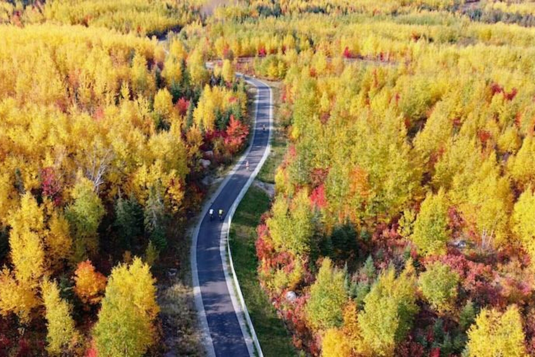
When it comes to rail-trails, Minnesota is a power player with more than 2,100 open miles of such pathways to explore in every corner of the state, including a half dozen rail-trails spanning more than 100 miles each. With the headwaters of the Mississippi River here and a once-thriving railroad industry carrying the state’s cornucopia of agricultural goods and vast supply of mineral ore that powered the country’s industries, the North Star State has always shined bright as a transportation leader. Today’s visitors can enjoy many of these long-used corridors now reshaped as trails for walking, biking, horseback riding and other outdoor pursuits.
Lake Wobegon Trail
Counties: Stearns, Todd
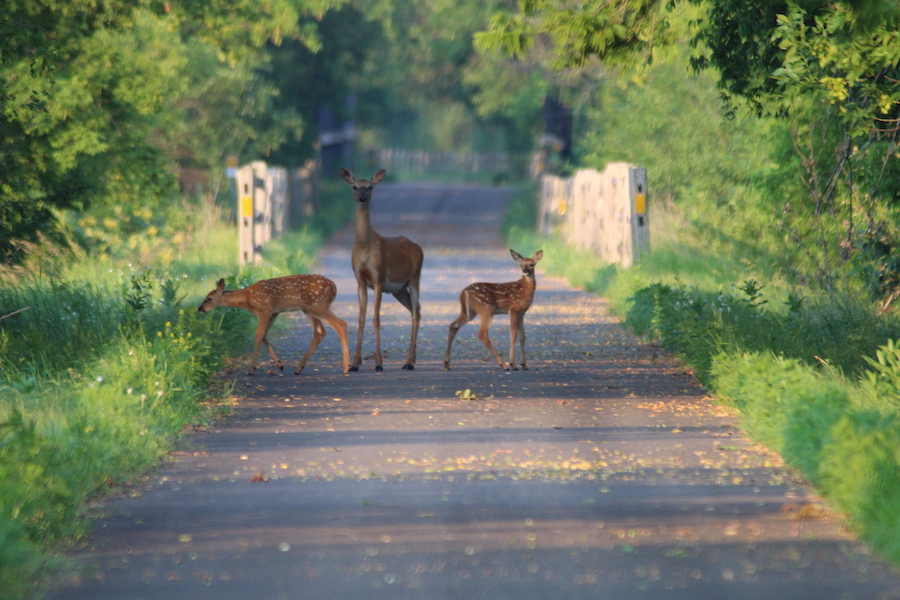
In Minnesota’s rural heartland, the Lake Wobegon Trail offers a paved 65-mile journey from the outskirts of St. Cloud through idyllic settings of prairie, woodlands and farmland, with sprinklings of scenic river crossings. Visitors in the early summer may even be lucky enough to spot the delicate pink and white swoops of the showy lady slipper, like vivid brush strokes in this picturesque landscape. Every few miles, a small town beckons with quaint cafés, cultural attractions and a charming atmosphere. Take a spur off the trail’s main spine up to Holdingford to see the state’s longest covered bridge. From there, it’s possible to hitch a ride on connecting trails like the Soo Line Trail to travel all the way to Duluth on the vast shores of the aptly named Lake Superior, the world’s largest freshwater body by surface area.
Heartland State Trail
Counties: Cass, Hubbard
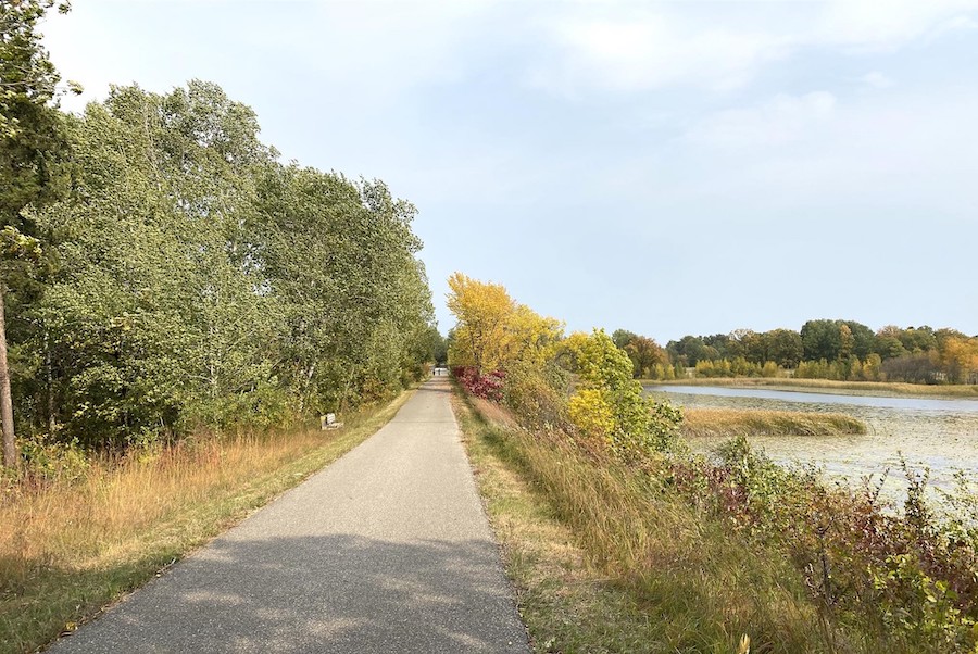
Traveling 49 miles through a patchwork of hardwood forest and grassy meadow in north-central Minnesota, the Heartland State Trail offers as many shades of green as it does miles. Bookended by the small cities of Park Rapids and Cass Lake, the paved pathway skirts many of the lakes for which the state is famed and nibbles at the edges of Paul Bunyan State Forest and Chippewa National Forest. Future plans call for a connection to Itasca State Park as well via a 25-mile spur off the Heartland State Trail. Construction of a tunnel under US 71, anticipated for 2022, will be a pivotal step in that project. Recreational opportunities abound in this verdant setting, including public beaches, campgrounds and favorite fishing holes, as well as the welcoming resort towns of Dorset, Nevis and Akeley (don’t miss its giant Paul Bunyan statue). Adventurers can enjoy more of the legendary logger’s turf by connecting to the Paul Bunyan State Trail in Walker.
Midtown Greenway
County: Hennepin
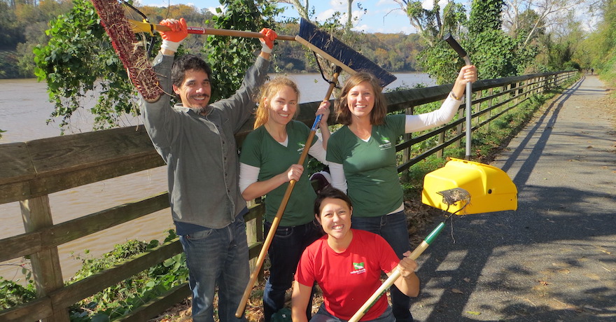
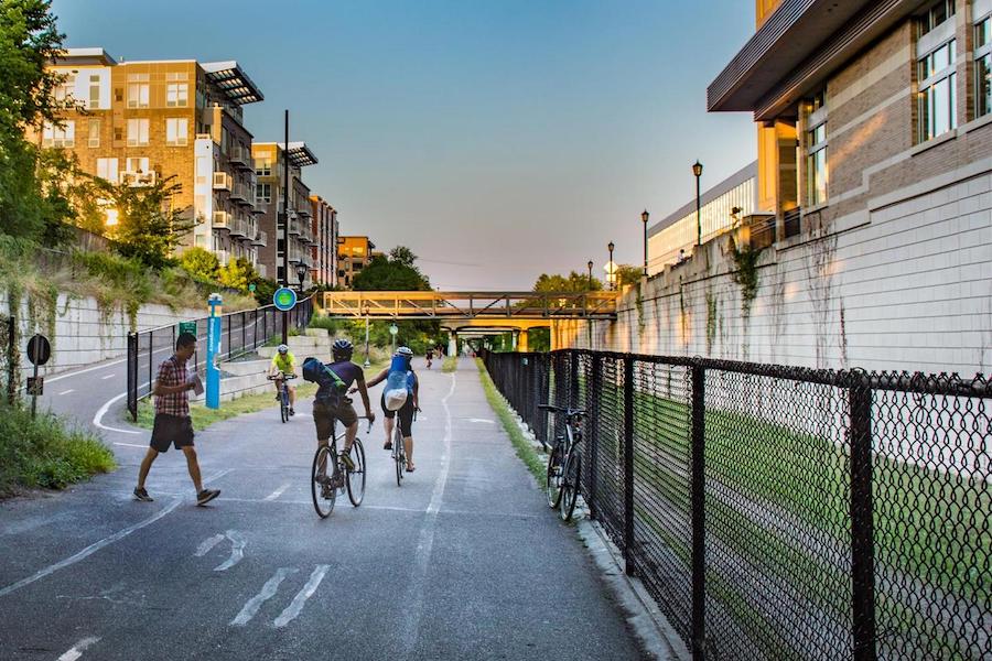
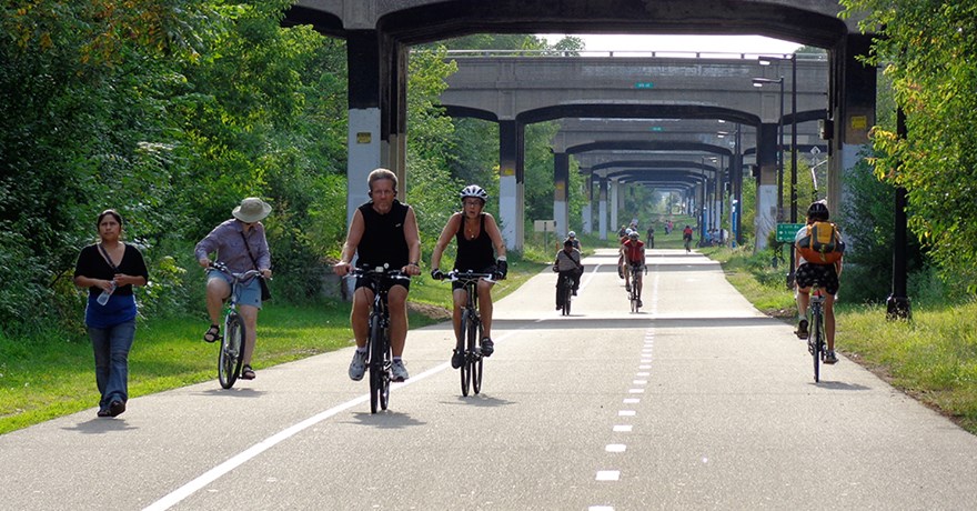
Although one of the shorter trails on this list, the 5.5-mile Midtown Greenway has outsized importance as an active transportation corridor in the heart of Minneapolis. Nestled 20 feet below street level in an early-20th-century railroad cut, the paved pathway bypasses the street traffic crossing overhead on more than two dozen historical bridges. The sloped terrain to either side is filled with trees and brush, and—just beyond that—residential neighborhoods, businesses and workplaces are within easy reach. With westbound and eastbound biking lanes, as well as a separate walking path, this Hall of Fame Rail-Trail offers a commuter’s paradise of both beauty and speed. On its west end, the greenway connects to pathways looping around the city’s Chain of Lakes—described in the late 1880s as “a necklace of diamond in settings of emerald.” On its east side, the eye-catching Martin Olav Sabo Bridge offers pedestrians and bicyclists safe passage over busy Hiawatha Avenue and elevated views of downtown.
Root River State Trail
Counties: Fillmore, Houston
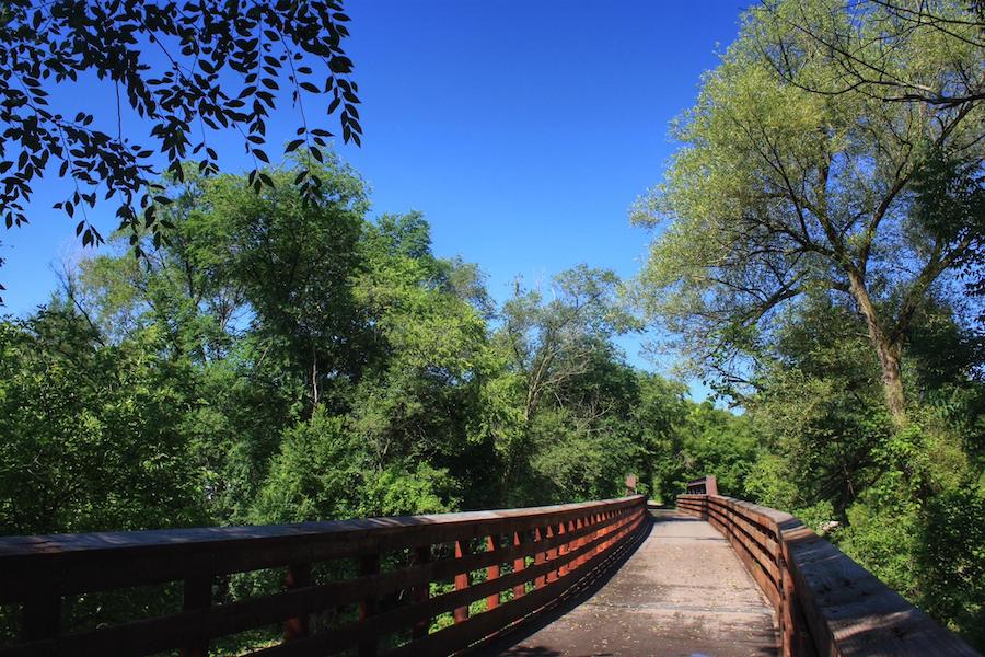
Following the sinuous curves of its namesake river, the Root River State Trail snakes 42 miles through the blufflands of southeastern Minnesota between the quaint towns of Houston (once a steamboat port and railroad hub) and Fountain. As the smooth pavement unwinds through the valley’s lushly wooded hillsides, keep a watchful eye for turkeys, hawks, deer, foxes and other wildlife. But the experience is not too remote as a handful of rural communities—Lanesboro, Whalan, Peterson and Rushford—pop up offering many welcome amenities, including bed-and-breakfasts, campgrounds, restaurants, museums, and interesting shops and historical buildings. On its eastern end, travelers can connect to the Harmony-Preston Valley State Trail to head another 18 miles south into Amish country. Or, for those looking to paddle and pedal, the gently flowing Root River itself is a State Water Trail.
Bruce Vento Regional Trail
County: Ramsey
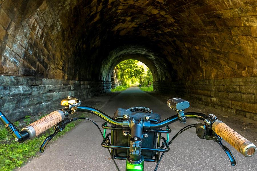
Beginning in the state capital of St. Paul, the Bruce Vento Regional Trail rolls its way 7 miles north to the fringes of White Bear Lake, a city on the banks of a large lake of the same name. The trail’s auspicious start provides access to the Bruce Vento Nature Sanctuary, a reclamation project on the Mississippi River that was once a toxic dumping site. Both the park and the paved pathway are named after a longtime U.S. Representative from Minnesota who was known for his environmental clean-up efforts. From the nature sanctuary, the trail passes through the Seventh Street Improvement Arches, an impressive limestone bridge built 1884, and continues through a mix of urban settings and natural respites, traversing Swede Hollow Park and Eastside Heritage Park.
Willard Munger State Trail (Hinckley-Duluth Segment)
Counties: Carlton, Pine
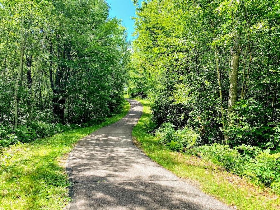
The Willard Munger State Trail begins in the eastern Minnesota city of Hinckley, tucked among the trees, and stays that way for nearly the entirety of its 70-mile route to Duluth at the tip of Lake Superior. Tracing a 19th-century railroad corridor that ran between the Twin Cities and a gateway to the Great Lakes, the paved pathway offers a smooth and level experience for long-distance biking with numerous river crossings accentuating the scenic backdrop. Near its southern end, a must-see attraction is the Hinckley Fire Museum, housed in a depot built in 1895. Approaching its northern end, the trail’s passage through Jay Cooke State Park and over the St. Louis River gorge is another highlight. Take time to explore this beautiful park’s waterfalls, swinging suspension bridge, pioneer cemetery and stone structures built by the Civilian Conservation Corps in the 1930s.
Central Lakes State Trail
Counties: Douglas, Grant, Otter Tail
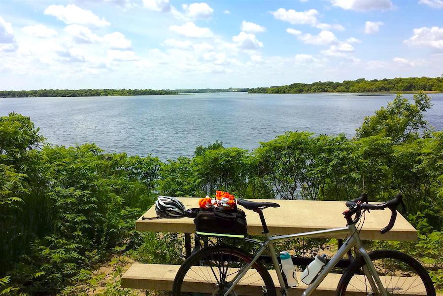
If you’re visiting Minnesota for its famed lakes, this is the trail to aim for. On a map, the region that the Central Lakes State Trail traverses is so dappled with lakes, it looks like cheetah spots. One of the larger lakes, Lake Christina—appearing roughly midway along the route—is an especially important stop for migrating waterfowl and a popular spot for birders. For mammal lovers, begin in Fergus Falls on the north end of the trail, where you will be a scant 1.5 miles from Otto the Otter, a 15-foot-tall and 40-foot-wide sculpture serving as the mascot for this town along the Otter Tail River in Otter Tail County. Continuing southeast, travelers will roll through an incredibly diverse landscape—from rolling hills and dense forest to farmland and prairie remnants—on 55 paved miles of trail to Osakis. From there, you can pick up the journey on the Lake Wobegon Trail for another 65 miles of pedaling toward St. Cloud.
Luce Line Trail
Counties: Carver, Hennepin, McLeod, Meeker
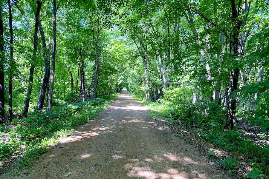
From Minneapolis and its western suburbs, the Luce Line Trail heads into the state’s rural landscape, traveling through wooded stretches, across wetlands and near lakes, and traversing tallgrass prairie remnants over varying surfaces (largely crushed stone interspersed with 19 miles of asphalt between Winsted and Hutchinson). A highlight of its eastern half is passage through the expansive Theodore Wirth Regional Park, offering a wish-list of recreational amenities, including a beach, fishing pier, athletic facilities and both a traditional and disc golf course. Here, the trail connects with the Grand Rounds Scenic Byway, which loops 50 miles around the city.
Paul Bunyan State Trail
Counties: Beltrami, Cass, Crow Wing, Hubbard
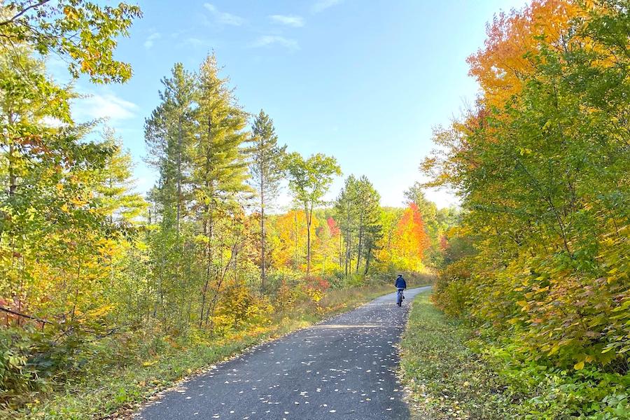
Stretching a whopping 119 miles between Bemidji and Brainerd, the Paul Bunyan State Trail is one of the longest rail-trails in the country and a Hall of Fame Rail-Trail to boot. With a fully paved surface, loads of natural scenery (much of it well canopied) and welcoming towns spaced every 8 to 10 miles, the pathway offers the perfect venue for bike touring. Those wishing to camp during their trip can do so at Crow Wing State Park on the trail’s south end, or the Chippewa National Forest and Lake Bemidji State Park on its north end. If you don’t mind a rougher trek, you can continue the journey north from Bemidji on the unpaved Blue Ox Trail to International Falls, a stone’s throw from the Canadian border and nicknamed the “Icebox of the Nation” for its long, cold winters. For a less strenuous connection, you can pick up the paved Heartland State Trail in Walker.
Mesabi Trail
Counties: Itasca, St. Louis
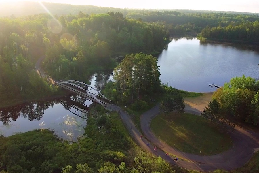
From the Mississippi River to the Boundary Waters, the Mesabi Trail offers 135 miles of open trail—and growing. Ten miles of new trail are anticipated to open this year and another 10 miles in 2022. From Grand Rapids up through Ely, the winding pathway (nearly all paved) touches more than two dozen communities and traverses the historical Mesabi Iron Range in northeastern Minnesota, one of the prettiest regions of the state. Among the area’s smattering of lakes, be sure to look and listen for the distinctive calls and stark plumage of the state bird, the common loon. The trail’s rich wilderness contrasted with the manmade trappings of a longstanding mining heritage leave an unforgettable impression.
This blog has been updated from a previous April 30, 2014 version.
Rail-Trails: Minnesota
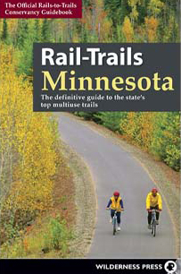
Want to experience one of these trails or other amazing Minnesota destinations? You’ll find maps, helpful details and beautiful photos of 48 multiuse trails in our Rail-Trails: Minnesota Guidebook, available here.

Donate
Everyone deserves access to safe ways to walk, bike, and be active outdoors.
