Trail Moments: In Piedmont, Alabama, a Slice of Pizza Comes With a Side of Adventure

In the rural northeastern Alabama city of Piedmont, folks on the Chief Ladiga Trail will probably smell the Pinhoti Pizza Company before they see it. Located at the intersection of the trail and Main Street, the restaurant sits at the very heart of the community. Although opened in November 2024, it has the welcoming feel of a place that’s been here for generations.
“I was born and raised here,” said Maggie Cunningham, who co-owns the pizza shop with her husband Kevin. “My dad owns the building where we’re in now, and I grew up here working in a hardware store—it was the hardware store in town. When Kevin was in college, he was an officer in the National Guard and his unit was stationed in Piedmont.”
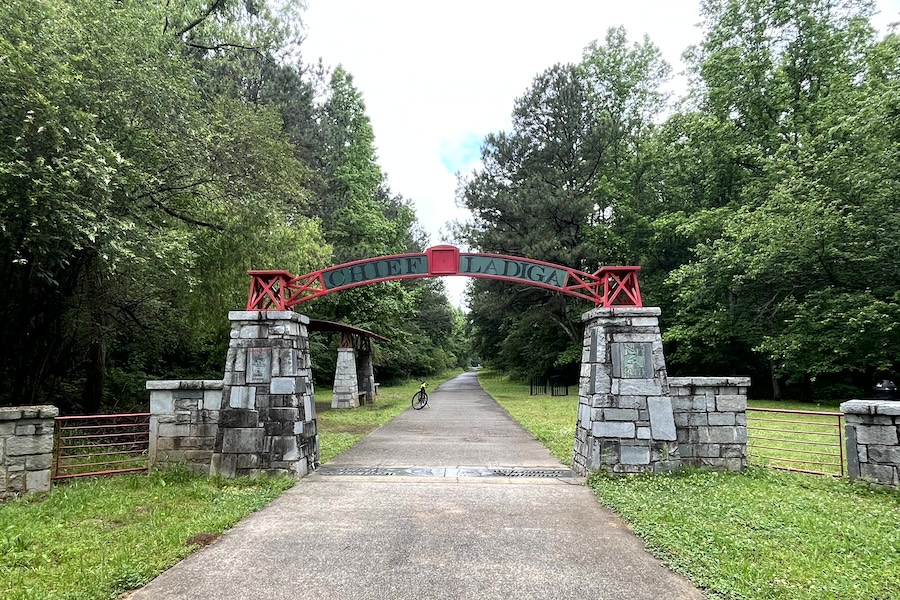
Kevin Cunningham has a passion for kayaking and once ran an outfitter store. His collection of retro outdoor gear—including bikes, canoes and kayaks—now line the restaurant’s walls. Their tabletops display local trail maps, and the bike racks out front are nearly always full. For the couple, the business provides a way to pay homage to their community’s growing reputation as an outdoor hub in the foothills of the Appalachians. In addition to the 33-mile Chief Ladiga Trail, the Pinhoti Trail, a 335-mile hiking route, lies just outside of town.
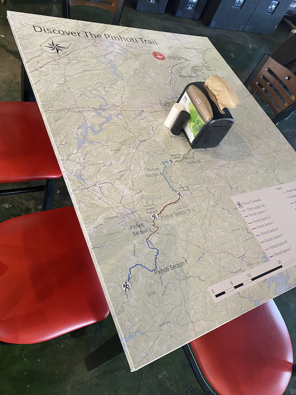
“We’re really trying to bring awareness to the outdoor activities and outdoor tourism opportunities that we have here in our community,” Cunningham said. “I had some gentlemen that lived here their whole life—and they were in their 80s—and when we named our restaurant the Pinhoti Pizza Company, they said, ‘Where did you get the name?’ And I said, ‘The Pinhoti Trail runs right over there across Duggar Mountain in your backyard.’ They had no idea.”
A Homegrown Success

For hungry adventurers, the restaurant’s most popular pizza is a meaty extravaganza called the “Pied-Monster.” They also serve a variety of salads and sandwiches.
“There’s not really a good pizza place here that’s not a franchise or a chain, so we knew there was a need,” said Cunningham, who believes this is the first restaurant built directly on the Chief Ladiga Trail. “And we wanted high-quality ingredients to make really good food. We make our own dough and grow our own tomatoes, and this summer we’re going to be getting all of our produce from local farmers so they’re completely organic. We also partner with a local shop that makes their own olive oil and balsamic. We just keep it simple, and people are going nuts for it.”

Just steps from their outdoor patio, the Chief Ladiga Trail runs past on its way east to the Georgia border where it meets the Silver Comet Trail, which continues another 62 miles toward Atlanta. Together, they form one of the longest paved rail-trails in the country and entered Rails to Trails Conservancy’s Hall of Fame as a pair in 2009.

“In Piedmont, we have what we call the trifecta in the outdoor industry,” Cunningham explained. “We have the bike trail; we have the Pinhoti Trail—and there’s a big push at the Alabama state level to make that the beginning part of the Appalachian Trail—and then we have Terrapin Creek, which is a water trail with some Class I and II rapids. People go out there every weekend to kayak and canoe. And people are coming from out of town to do those things, so we just celebrate that in our restaurant.”
An Outdoor Renaissance
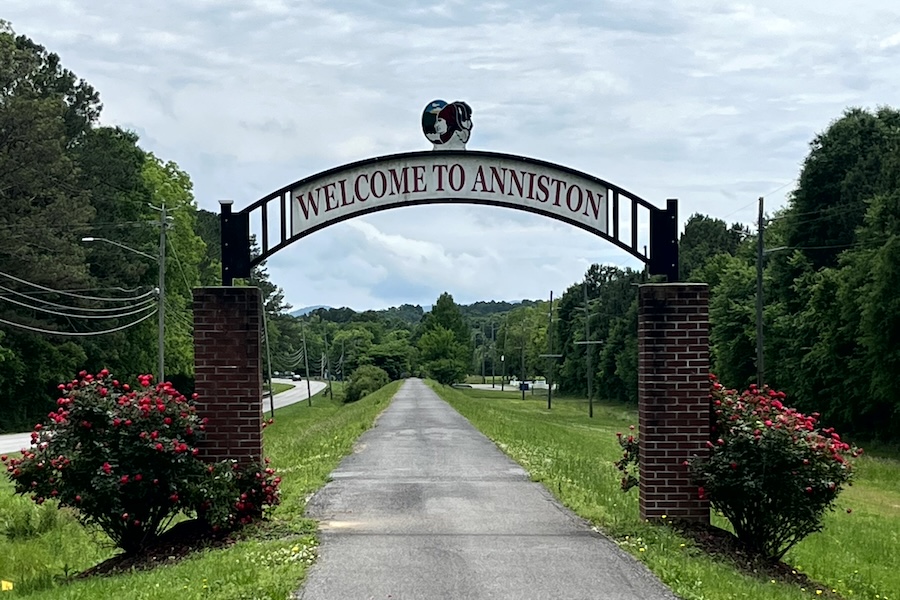
This spring, a new 6.5-mile extension will open on the southwestern end of the Chief Ladiga Trail that will bring the pathway into downtown Anniston and within reach of the city’s Amtrak station, opening up more opportunities for travel. On the heels of this news, the Cunninghams are planning to partner with Wig’s Wheels in Anniston to rent e-bikes at their pizza shop.
“Where they’re extending the trail is probably 20 miles from us,” said Cunningham. “We’re kind of the first stop when you cross over the state line from Georgia. Personally, I think that’s the prettiest part of the trail. From the Georgia line to us in Piedmont, it’s less than a 20-mile bike ride. It goes through the Talladega National Forest, so there’s a lot of shaded areas that are really nice. There’s also a lot of farming, where you can go by and see cotton fields and soybean fields. It’s really rural America.”
It’s a view that provides a tangible connection to the area’s past. A cotton and textile mill that began operating in Piedmont in 1892 was the main employer here for over a century. Cunningham remembers watching the trains that would carry the cotton, and Piedmont as a “thriving town back in the 1960s, ‘70s, ‘80s and early ‘90s.” After the loss of the textile industry, it became “a pretty depressed town.” But she has hope for the future and feels that the Chief Ladiga Trail, which was the state’s first rail-trail project, is helping to attract people to the area.

“I think most people don’t realize the ecotourism that they have right in their backyard,” she noted. “People are starting to come here, and I think the community is beginning to come to an understanding of what they have and what it means. The best thing that this town has to offer is its natural resources. They just need to tap into those.”
With Piedmont’s high quality of life and low cost of living, Cunningham said there’s been a lot of recent growth in the community. “They come here and get a little slice of heaven.”
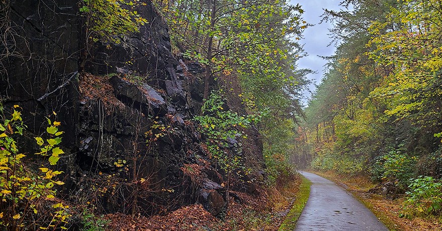
Trail Moments
At Rails to Trails Conservancy, we are capturing trail moments—and sharing your stories of joy, exploration, connection and self-care to inspire others to make trails part of their day-to-day lives. These stories are motivating, and they help our local leaders understand how important trails are to the well-being of people, places and the planet.

Donate
Everyone deserves access to safe ways to walk, bike, and be active outdoors.
